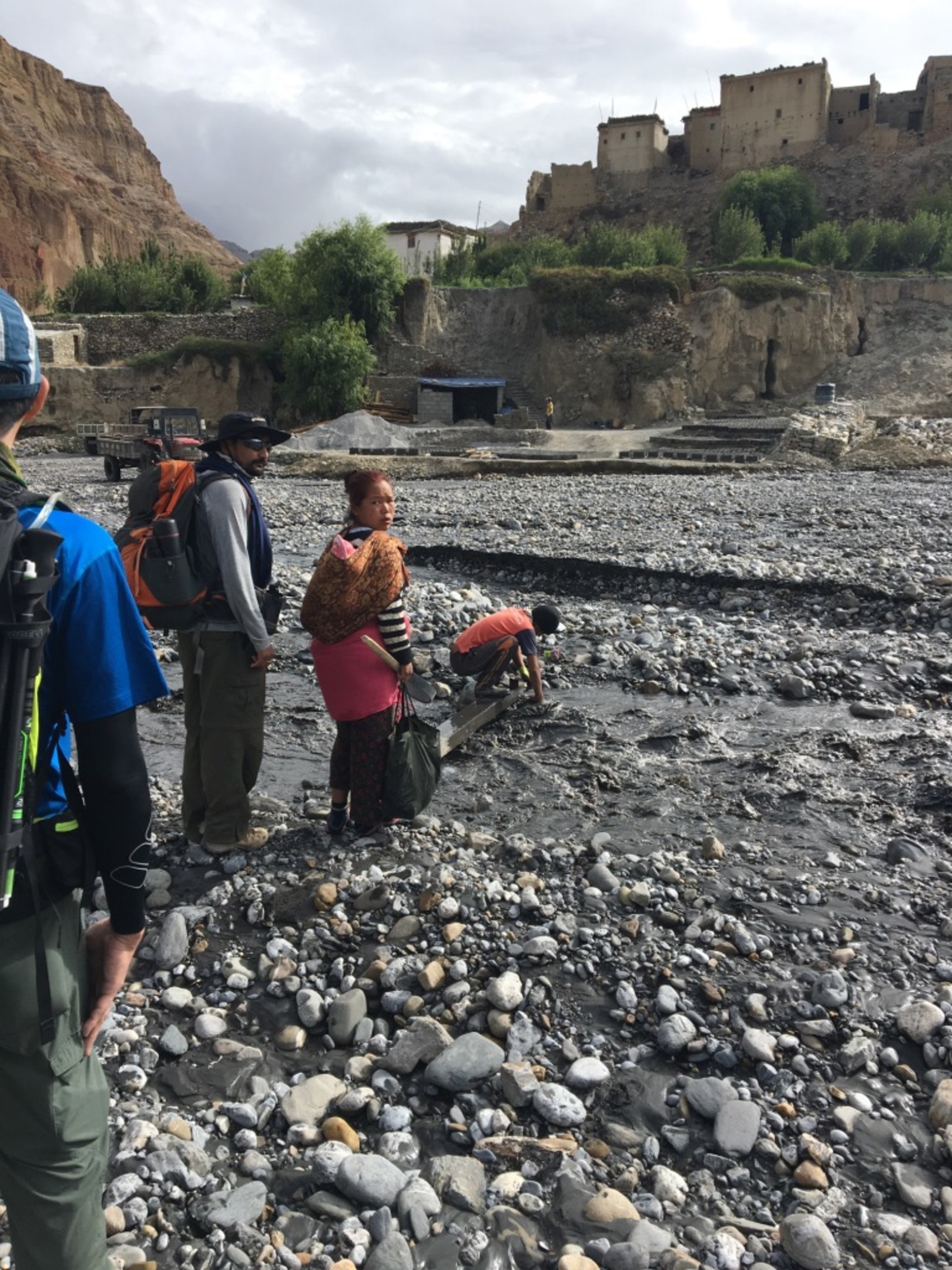
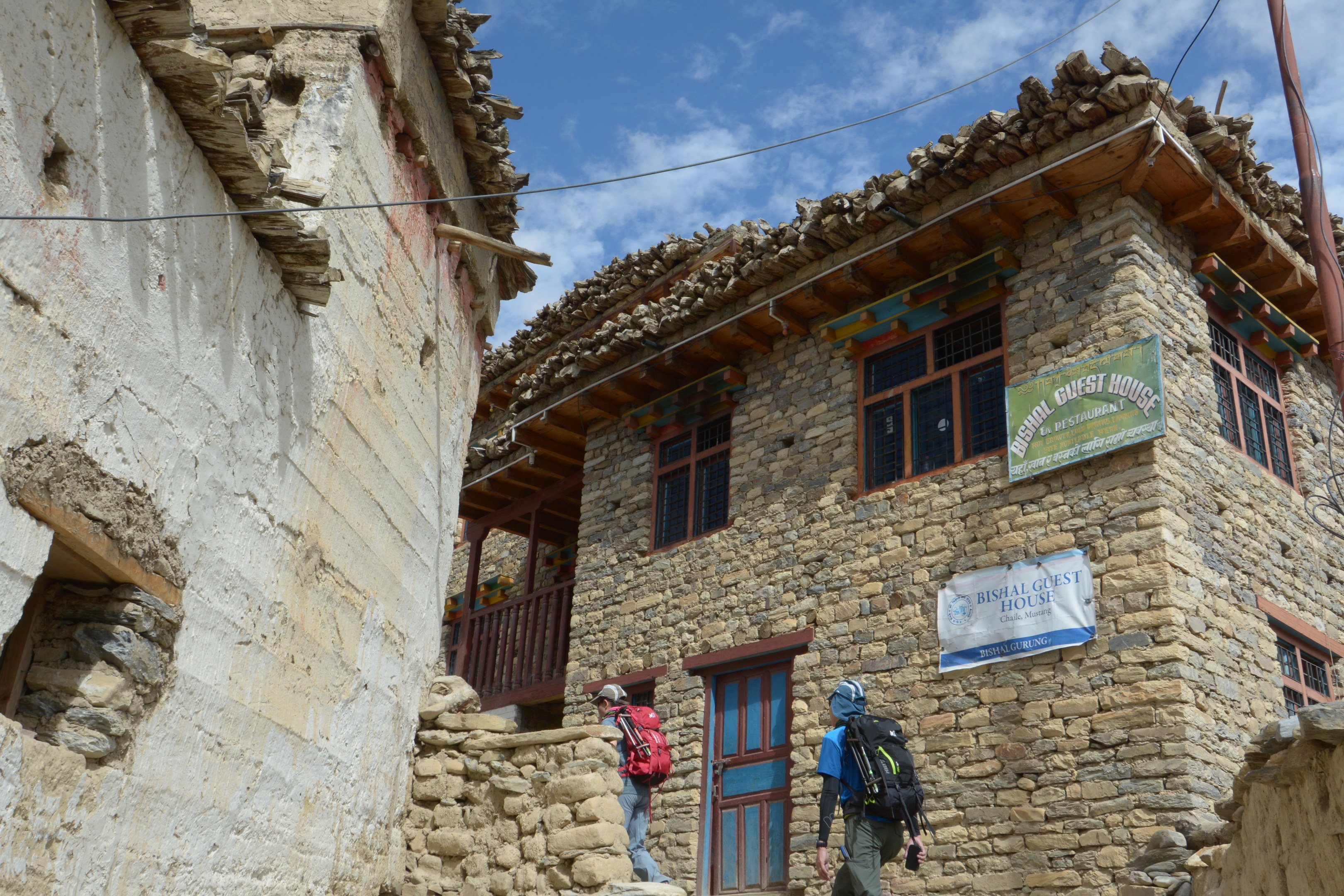
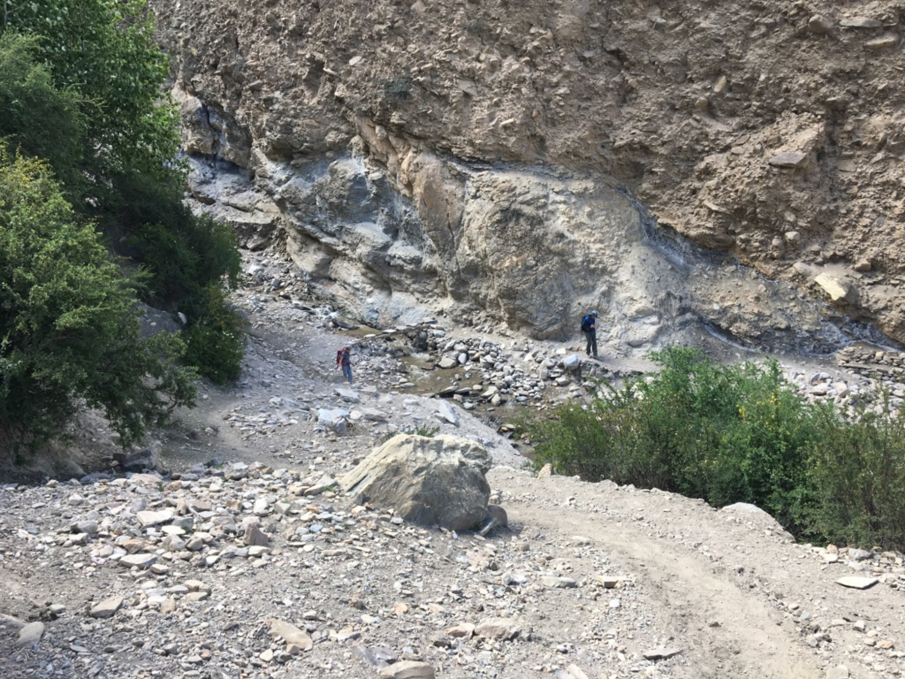
This day started off well enough with the intention of reaching Geiling. We had to ford a branch of the Kali Gandaki river where the log used as bridge was in the process of been 'rebuild'after been dismantled by the flowing water durinng the night. We trek along the river for a bit till we got the the foot of the village of Chaile.
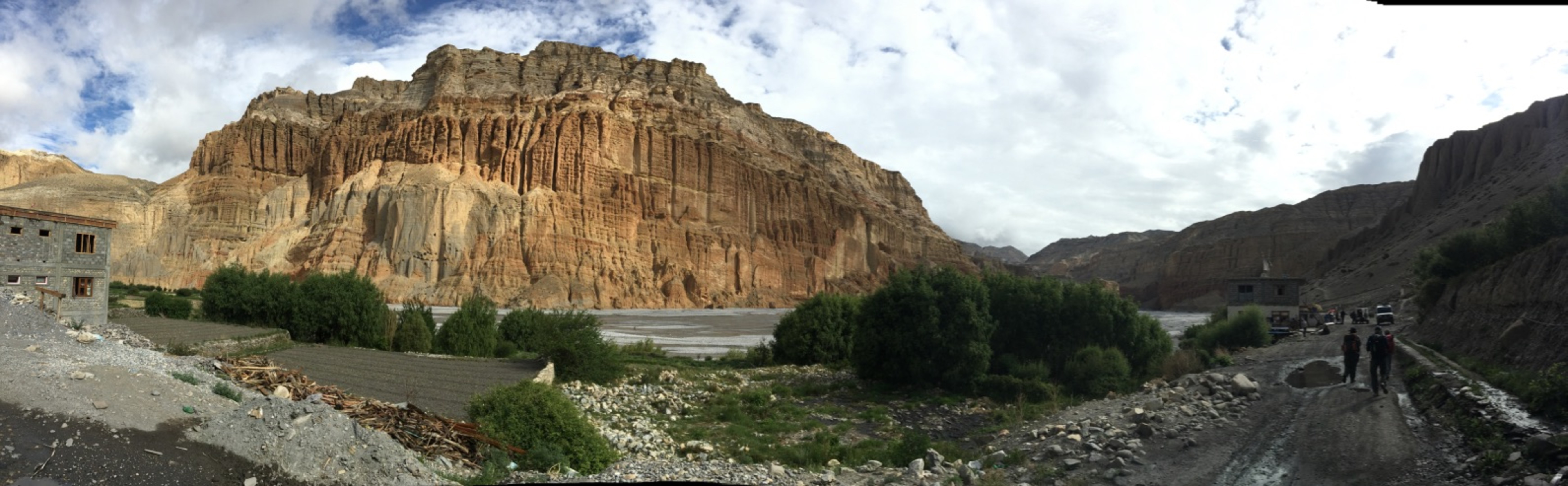
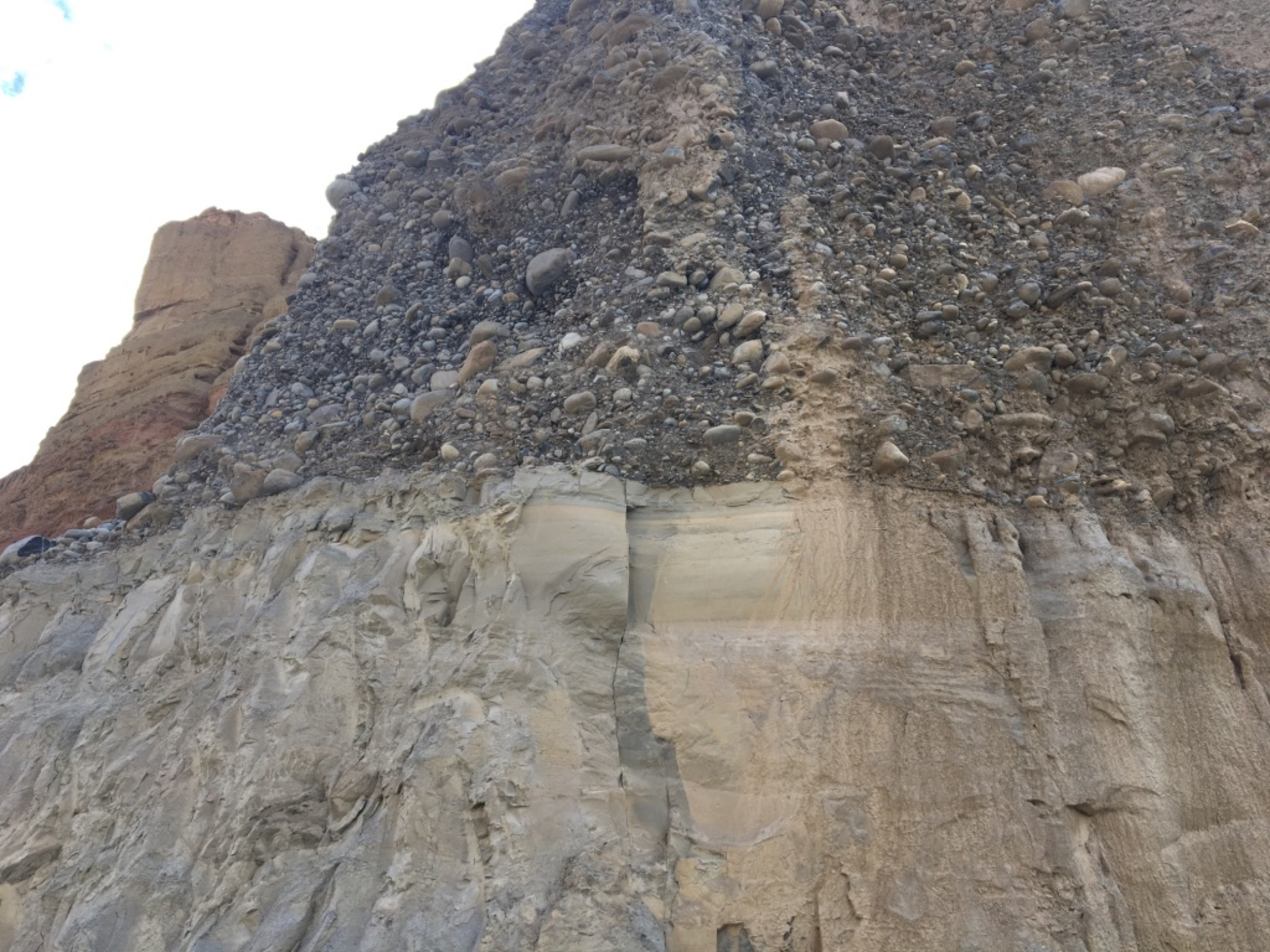
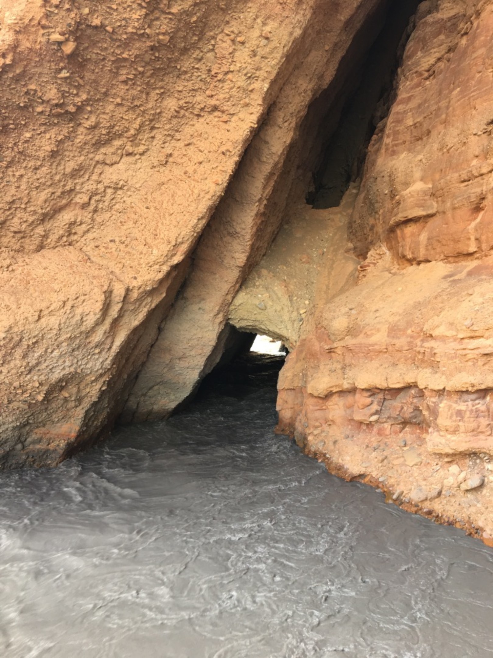
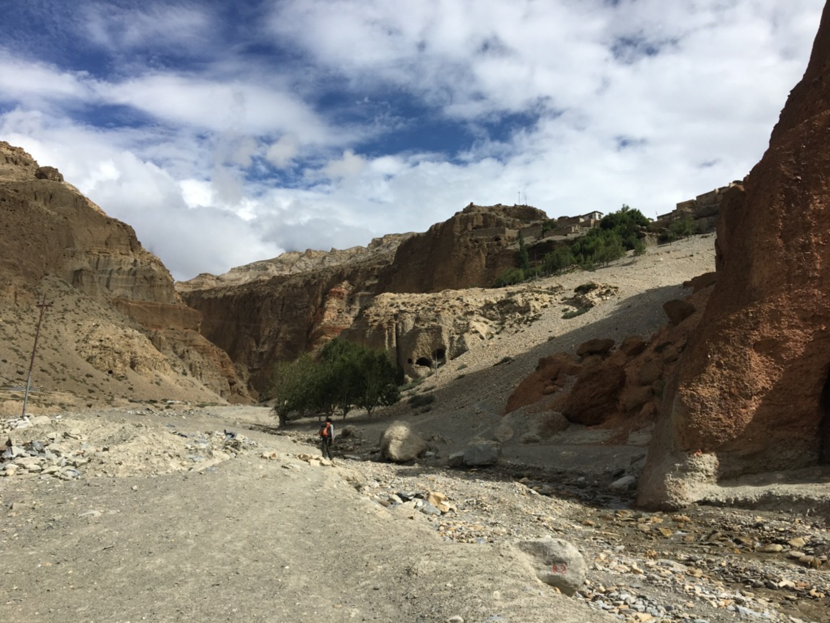
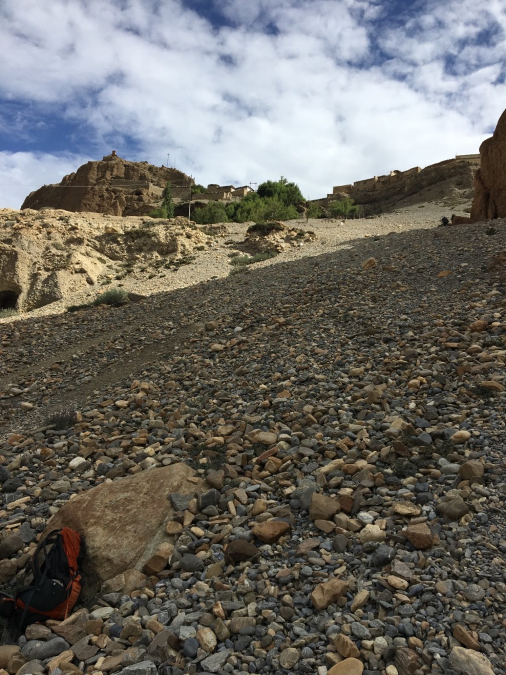
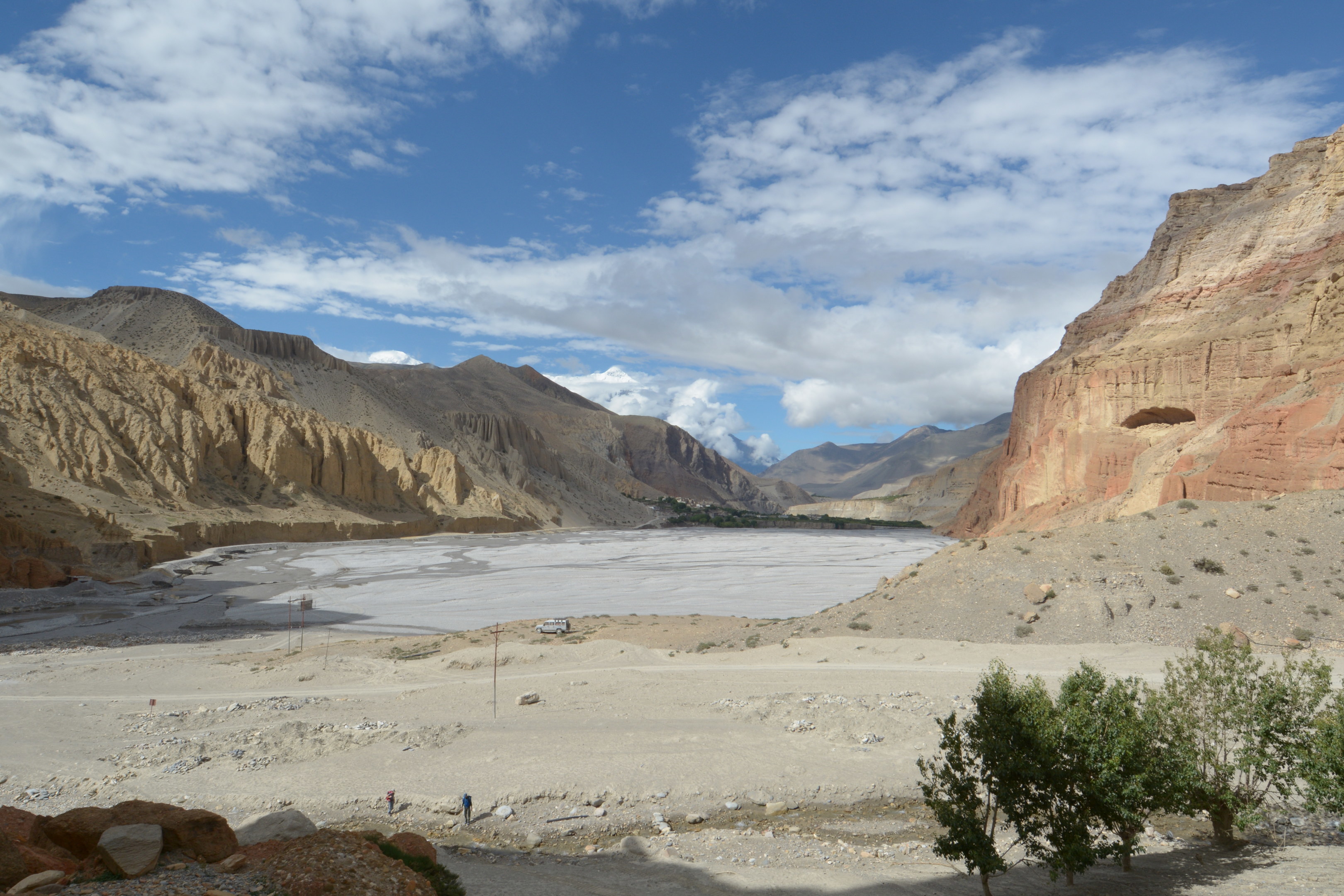
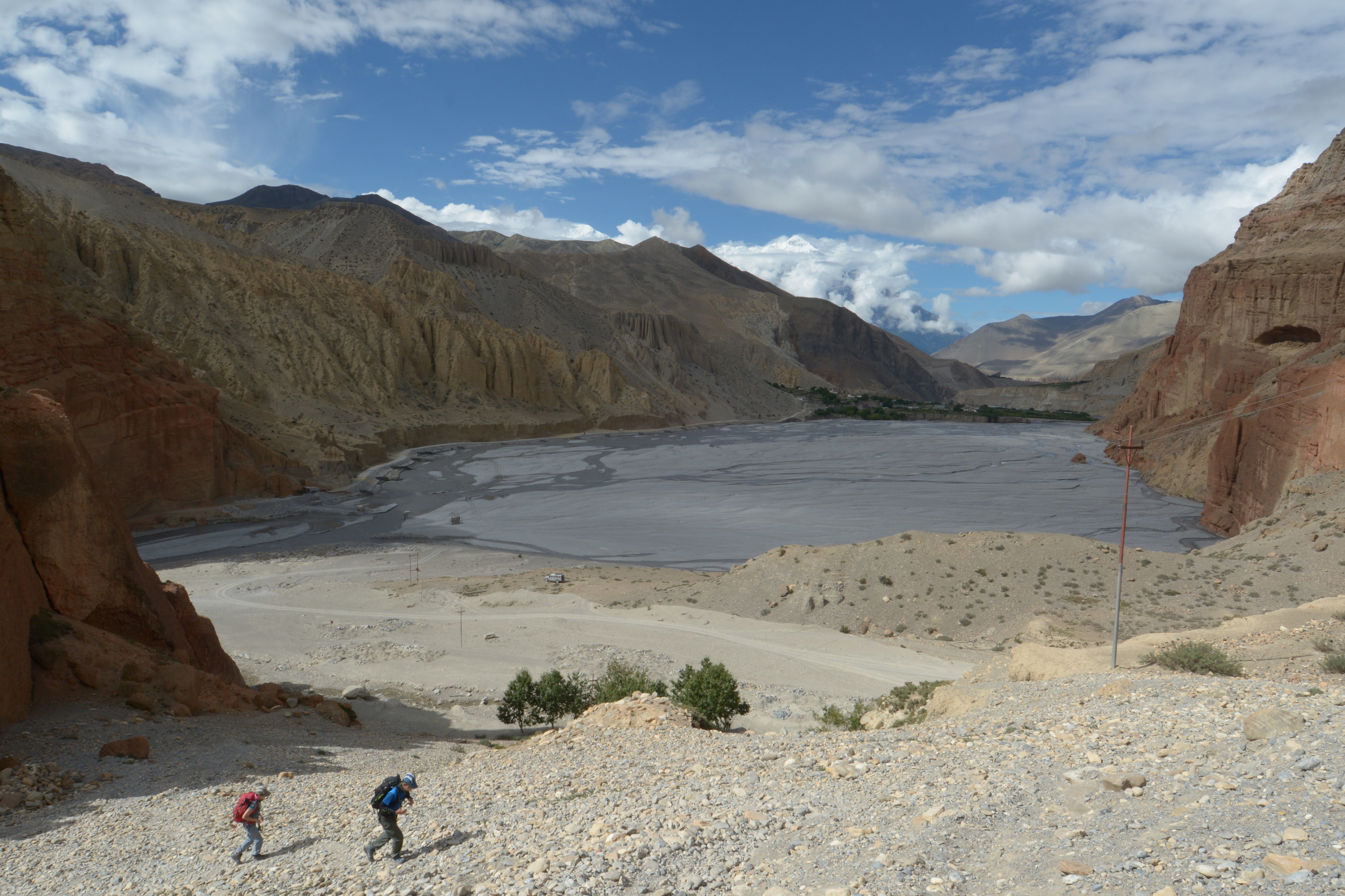
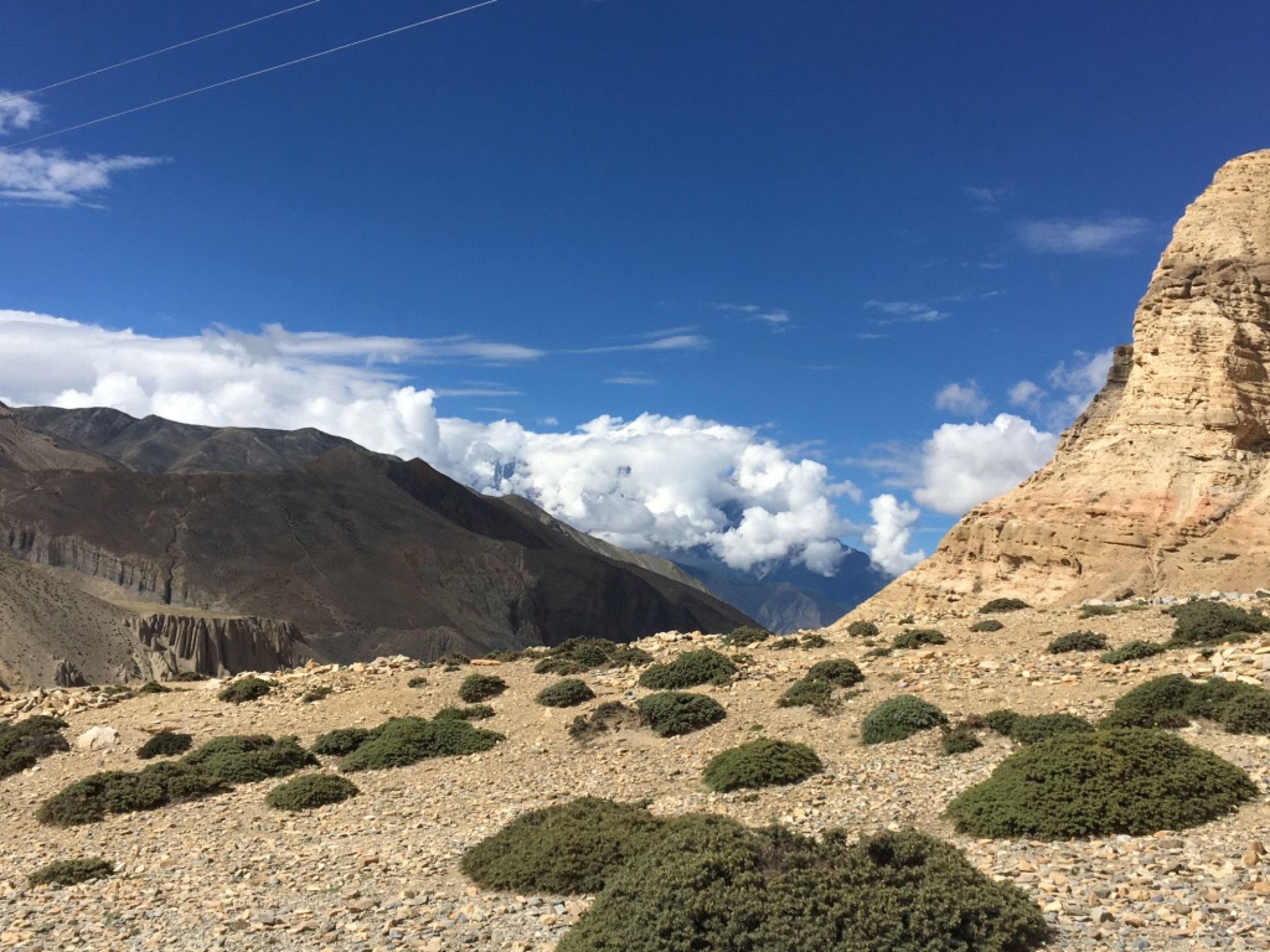
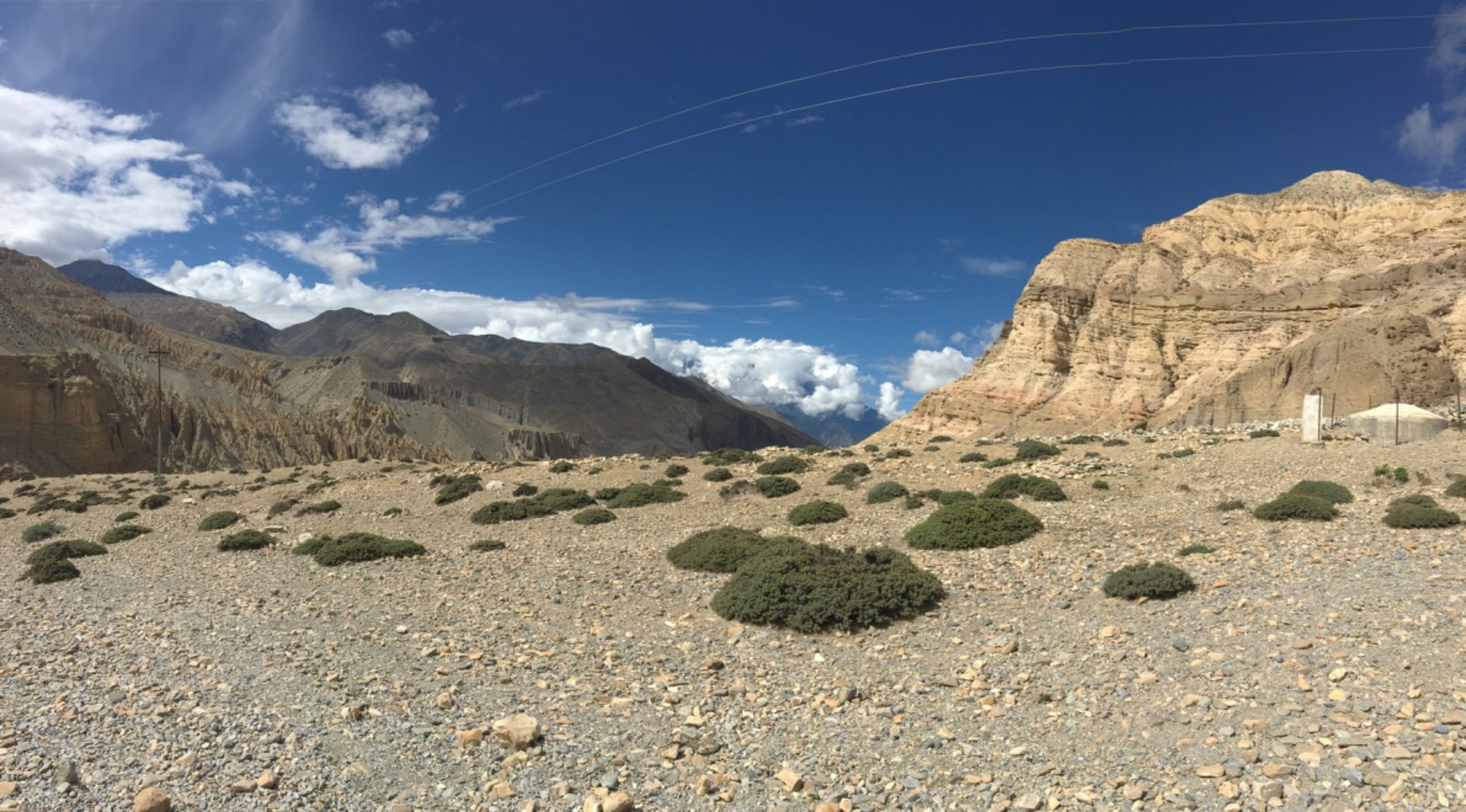
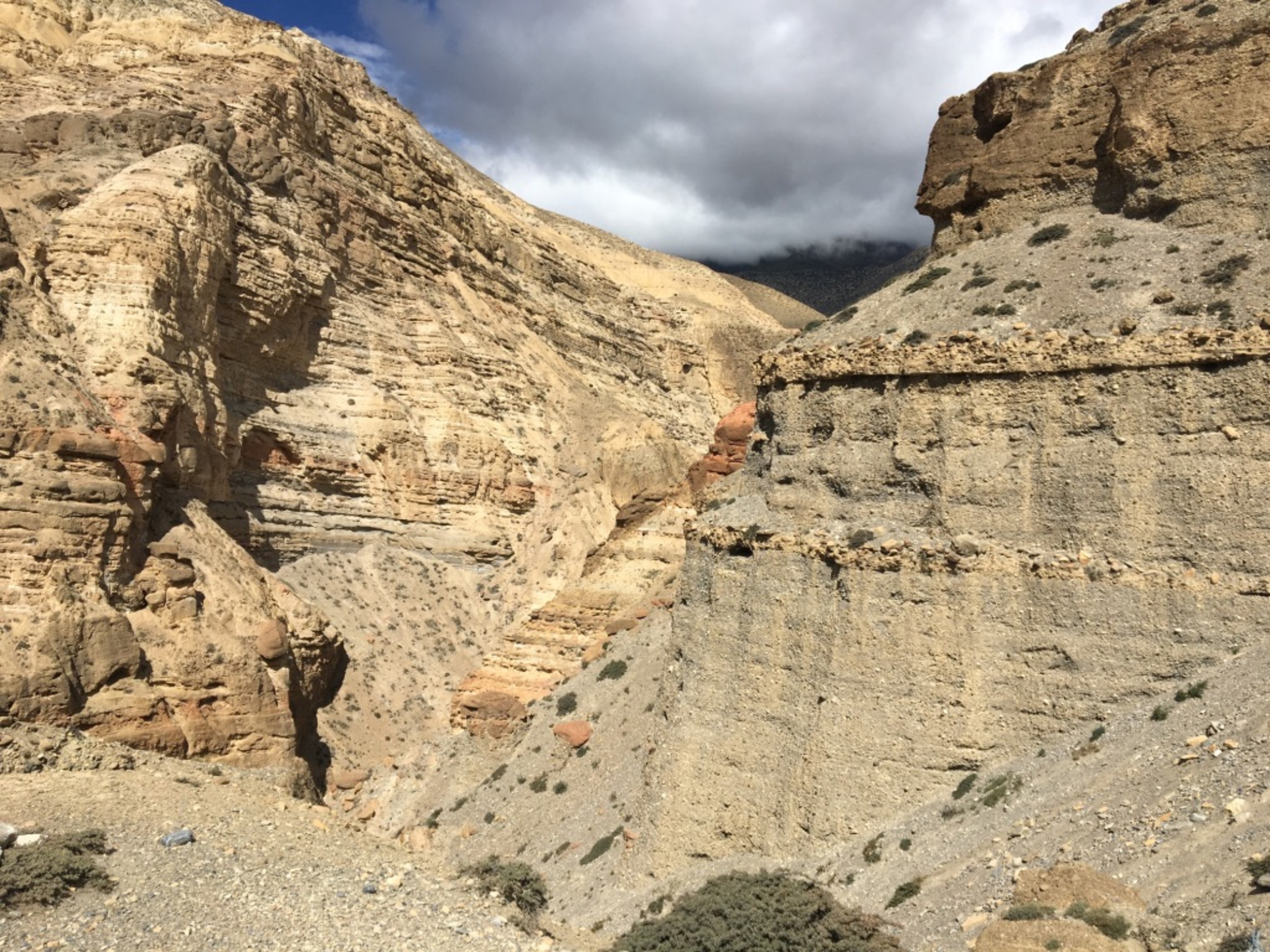
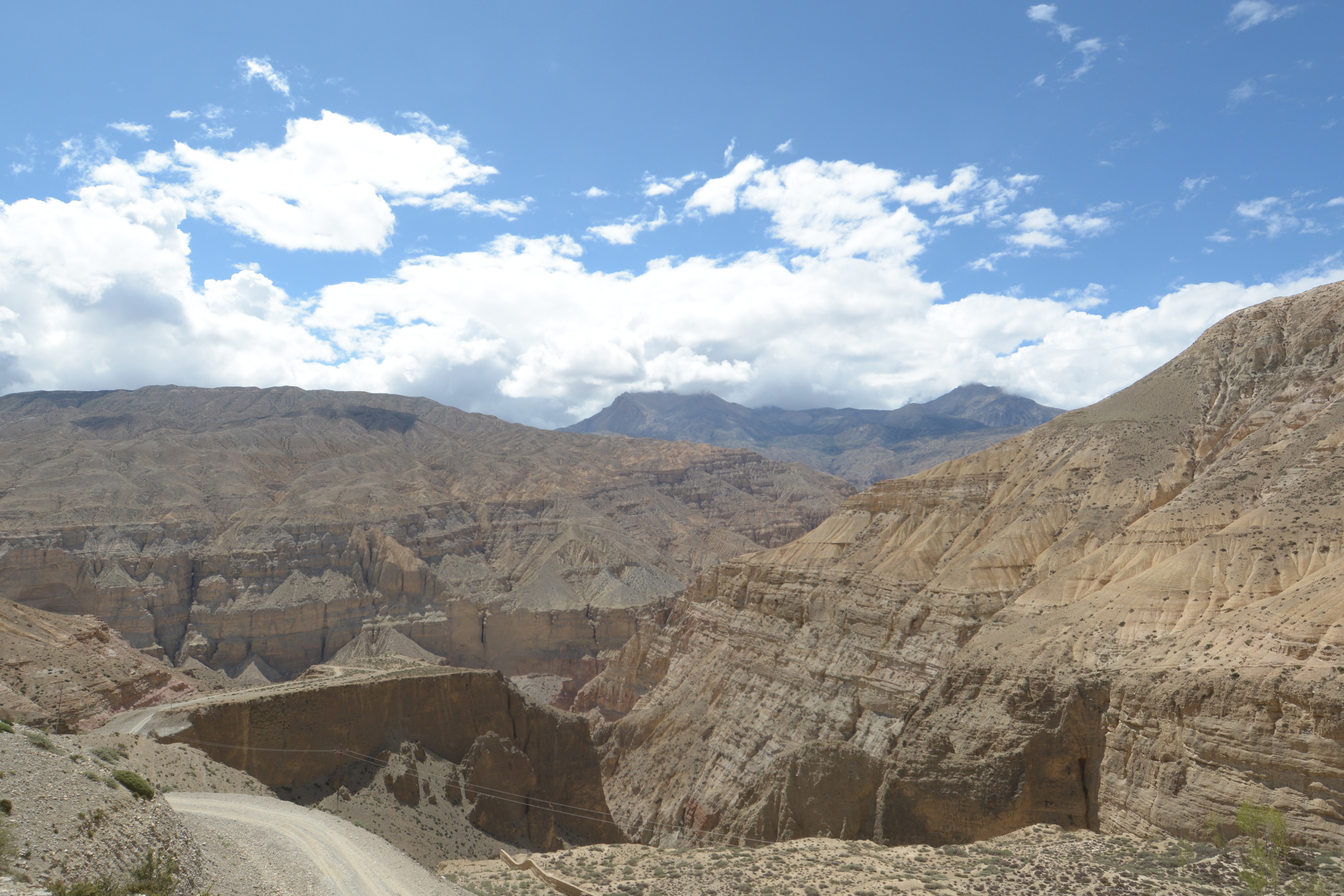
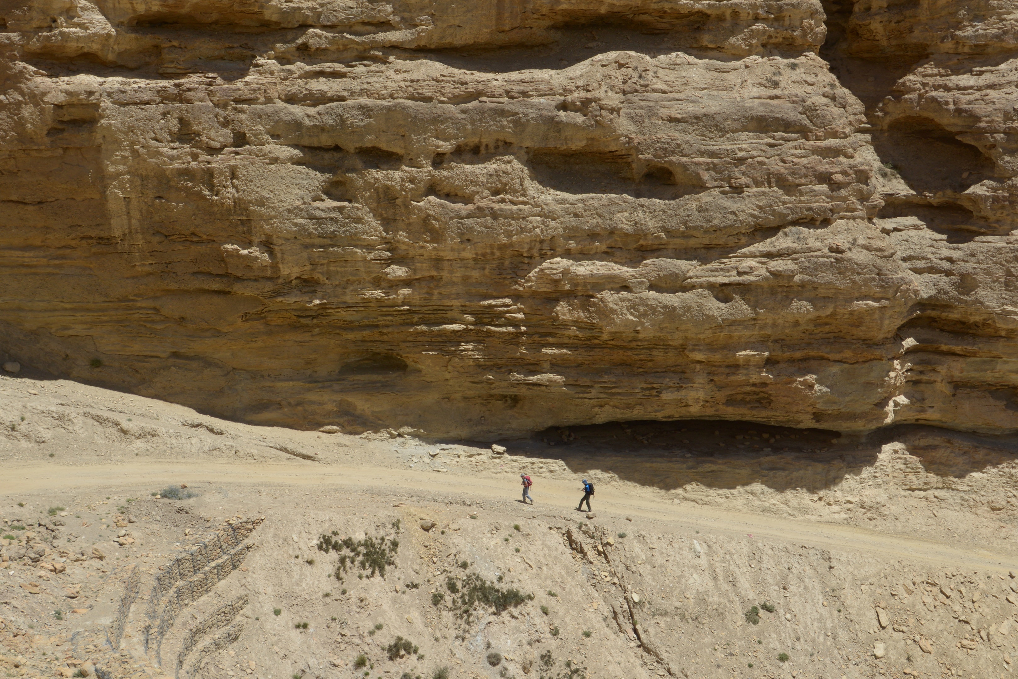
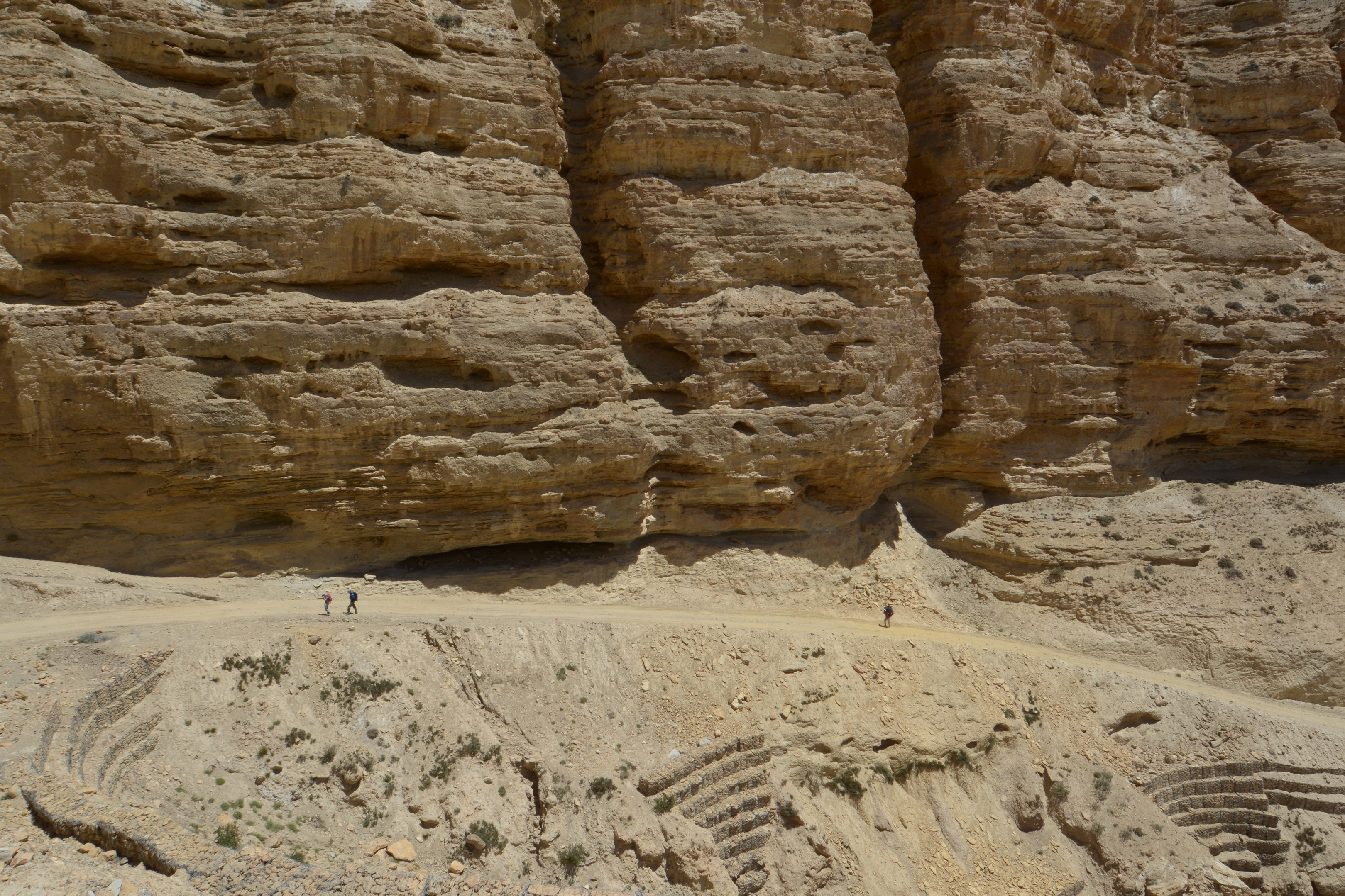
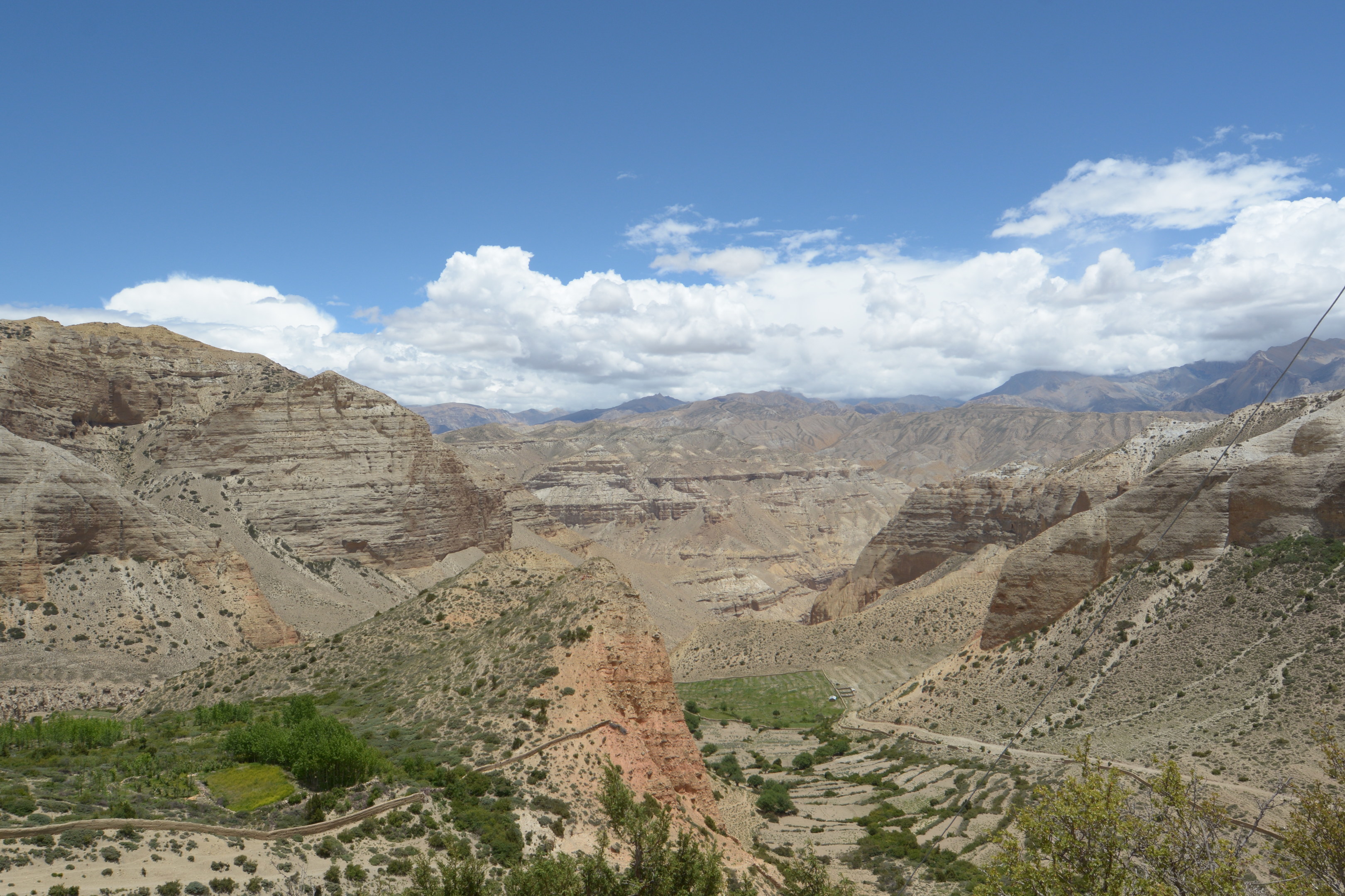
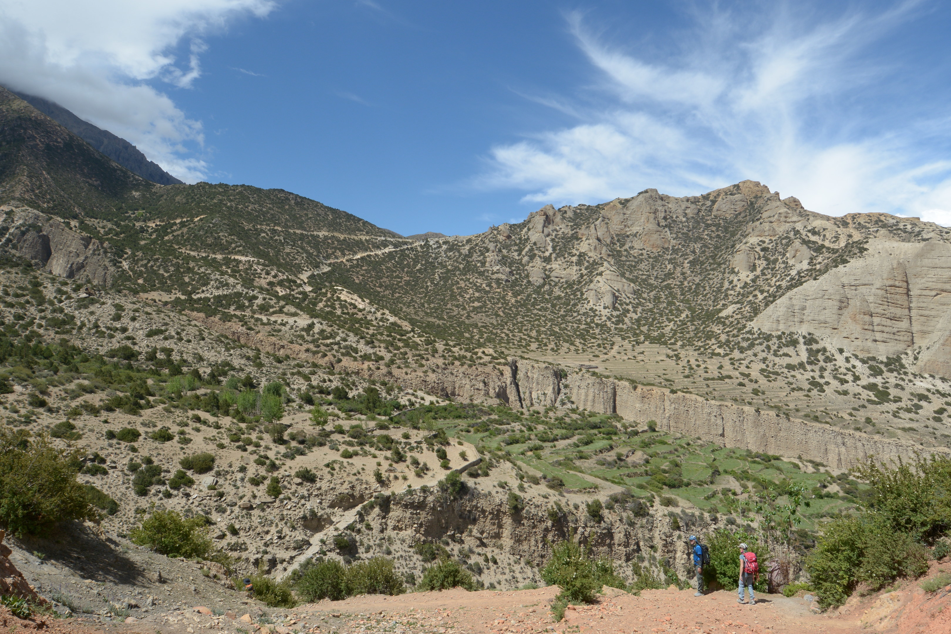
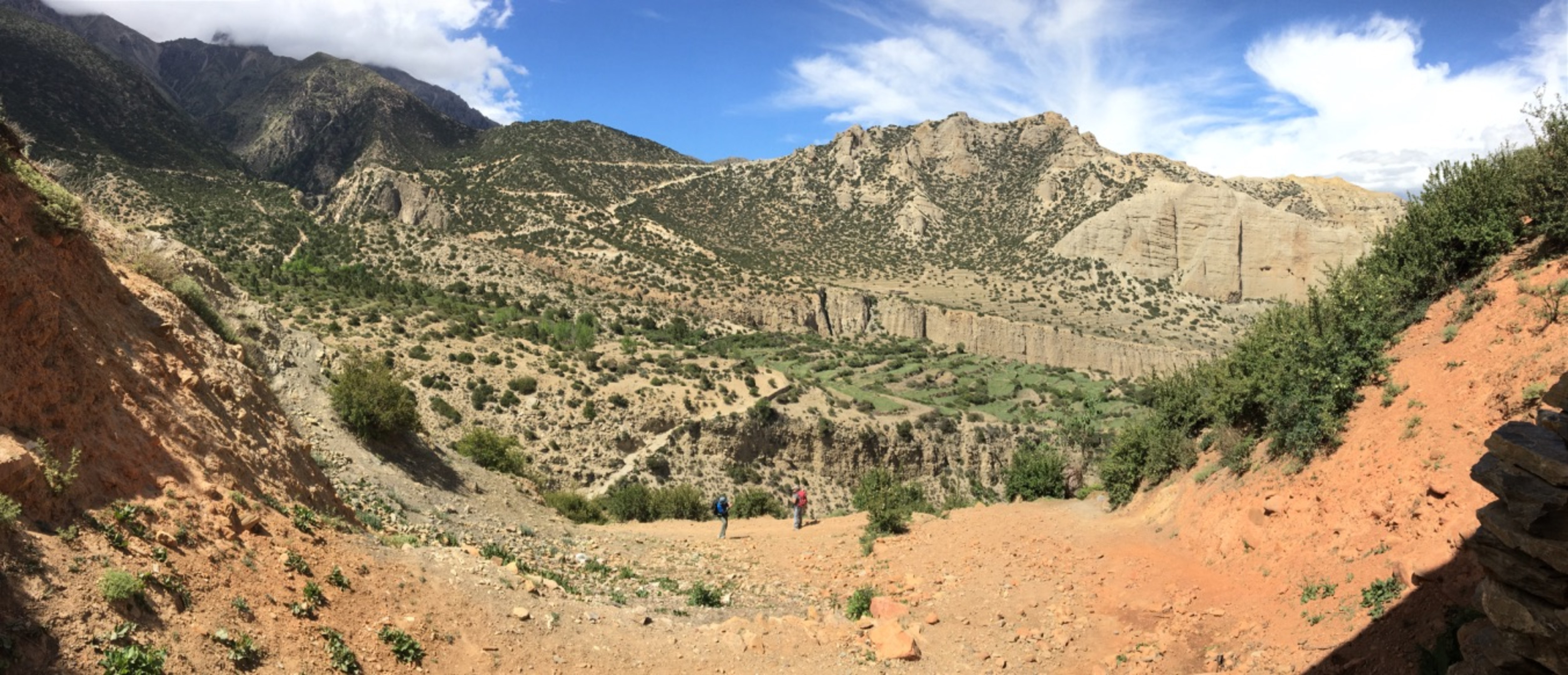
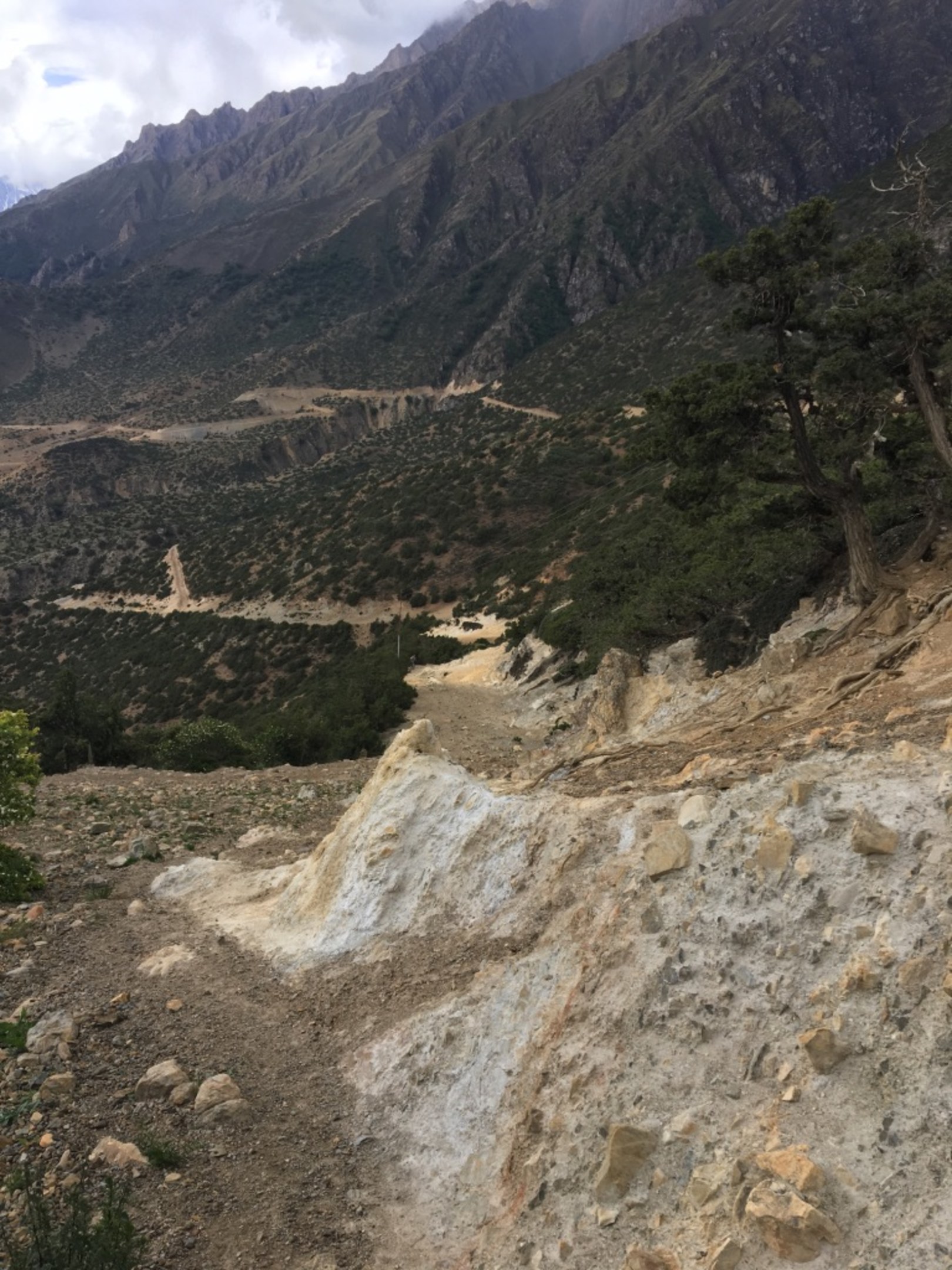
I saw this interesting geological feature from the face of a ten story hill that has been cleaved to make the road. Clay like deposits at the bottom, followed by rounded rocks(indicative of exposure to fast flowing water) and earth on top. You can see Chaile at the top of the slope(loose rocks slope it turns out) in the middle of the second picture. The picture with the 4x4's parked is where the Kali Gandaki river concentrates into a fast torrent going through a hill. It is also the start/end point for 4x4 transportation(the only kind of public transportation available really) going to different villages. You can see the hole in the hill a few pictures later.
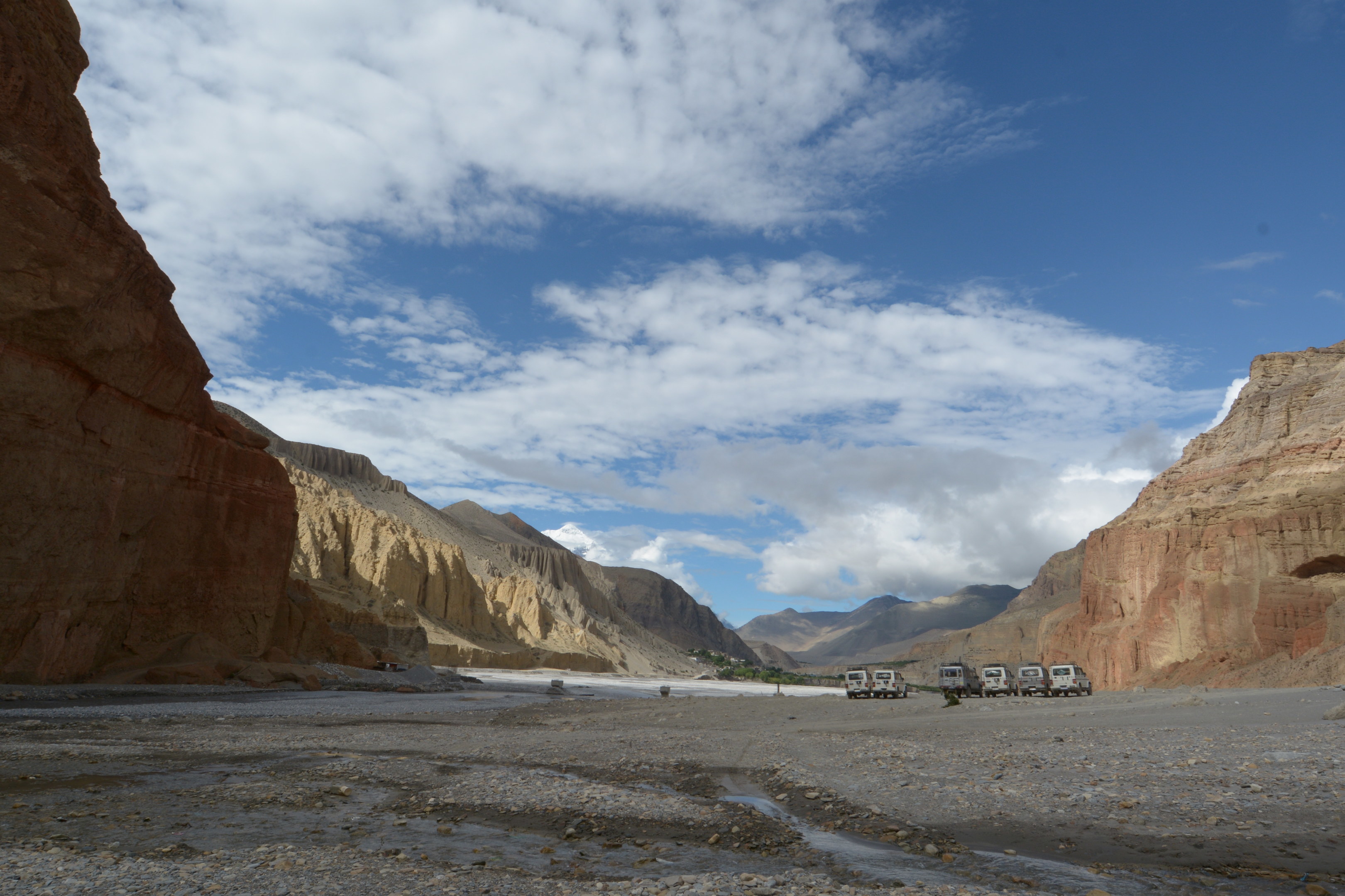
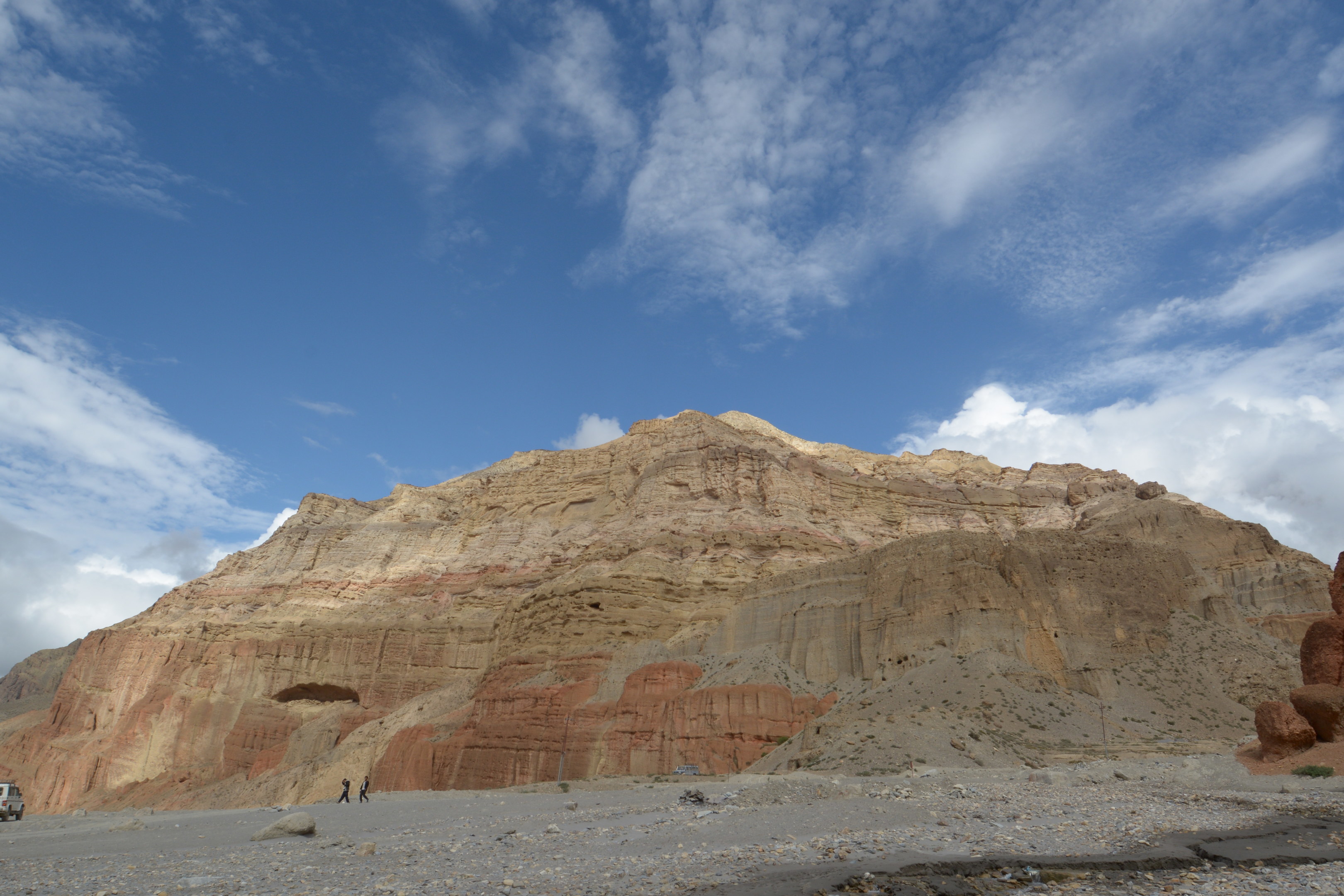
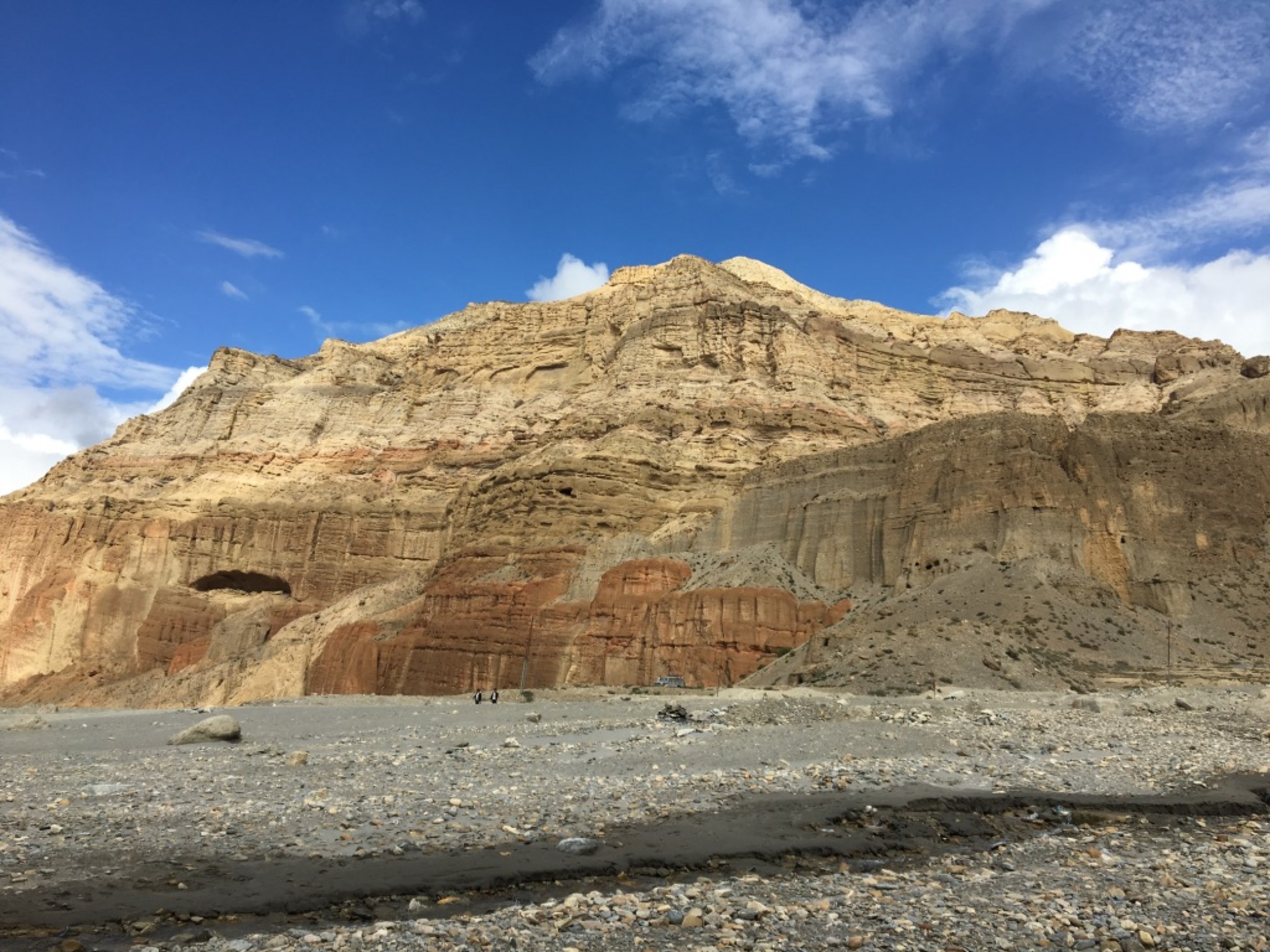
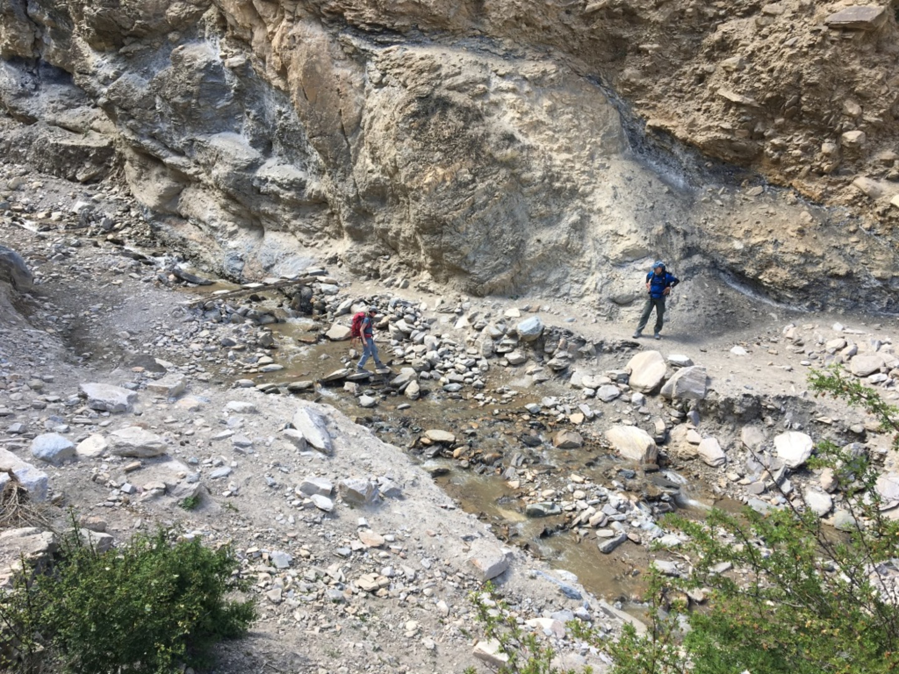
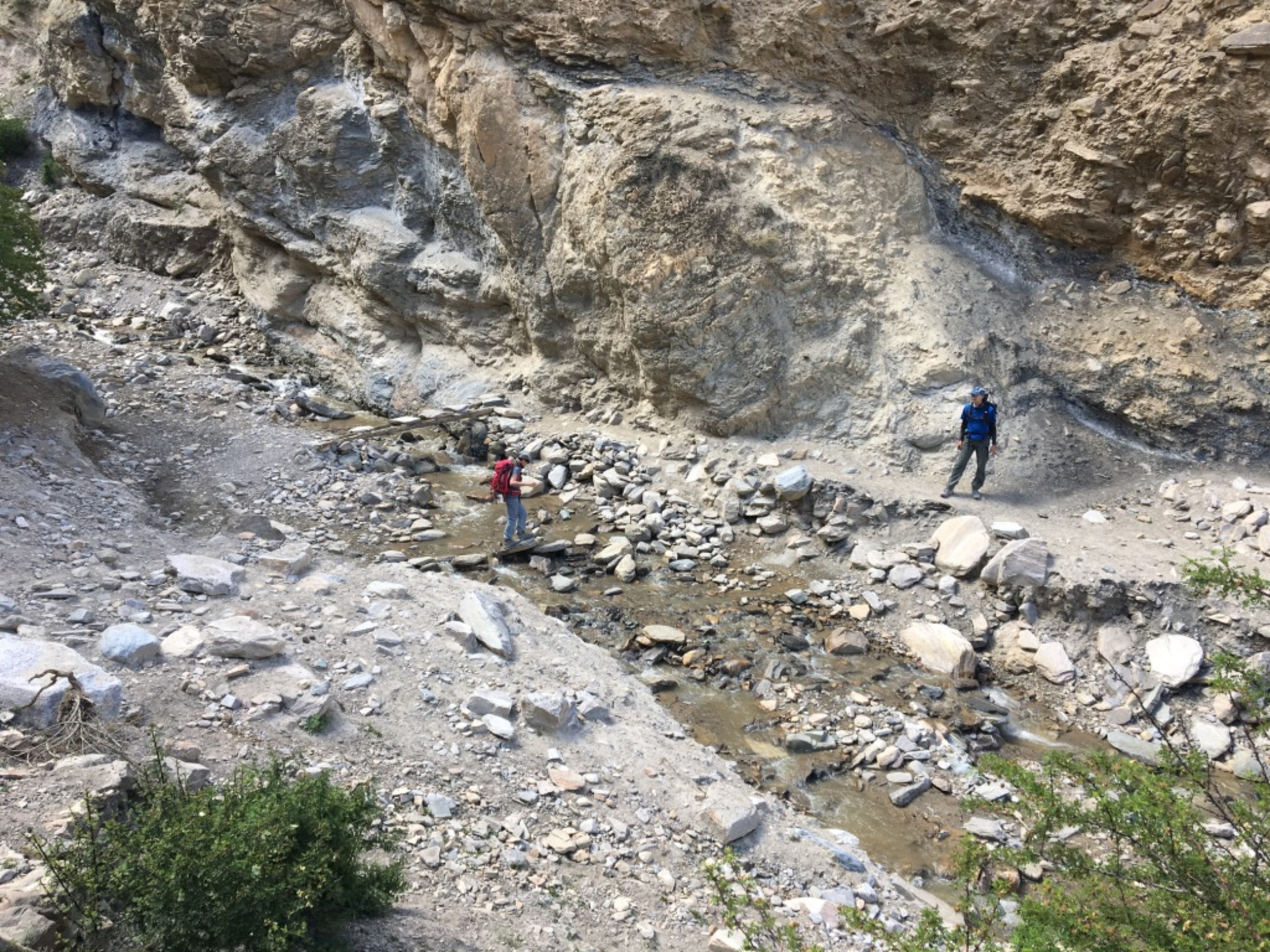
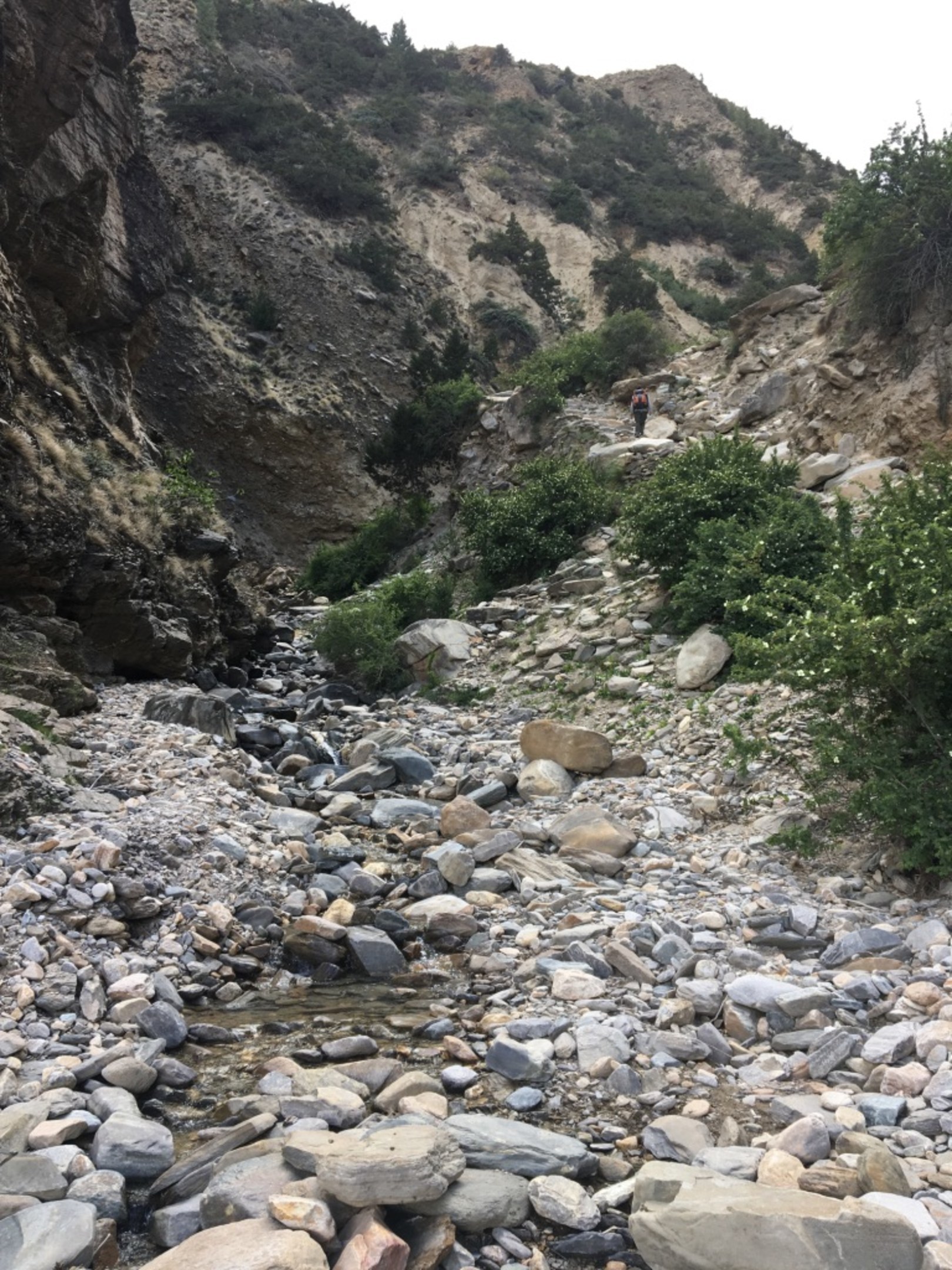
The loose rock climb up to Chaile. Looking down at Kali Gandaki halfway up the slope, you can see how the water is concentrating to the left of the pictures(just follow the dark grey). You can also see the river bed is very wide although the actual water courseway is little. Wonder how it looks when there is a lot more water flowing.
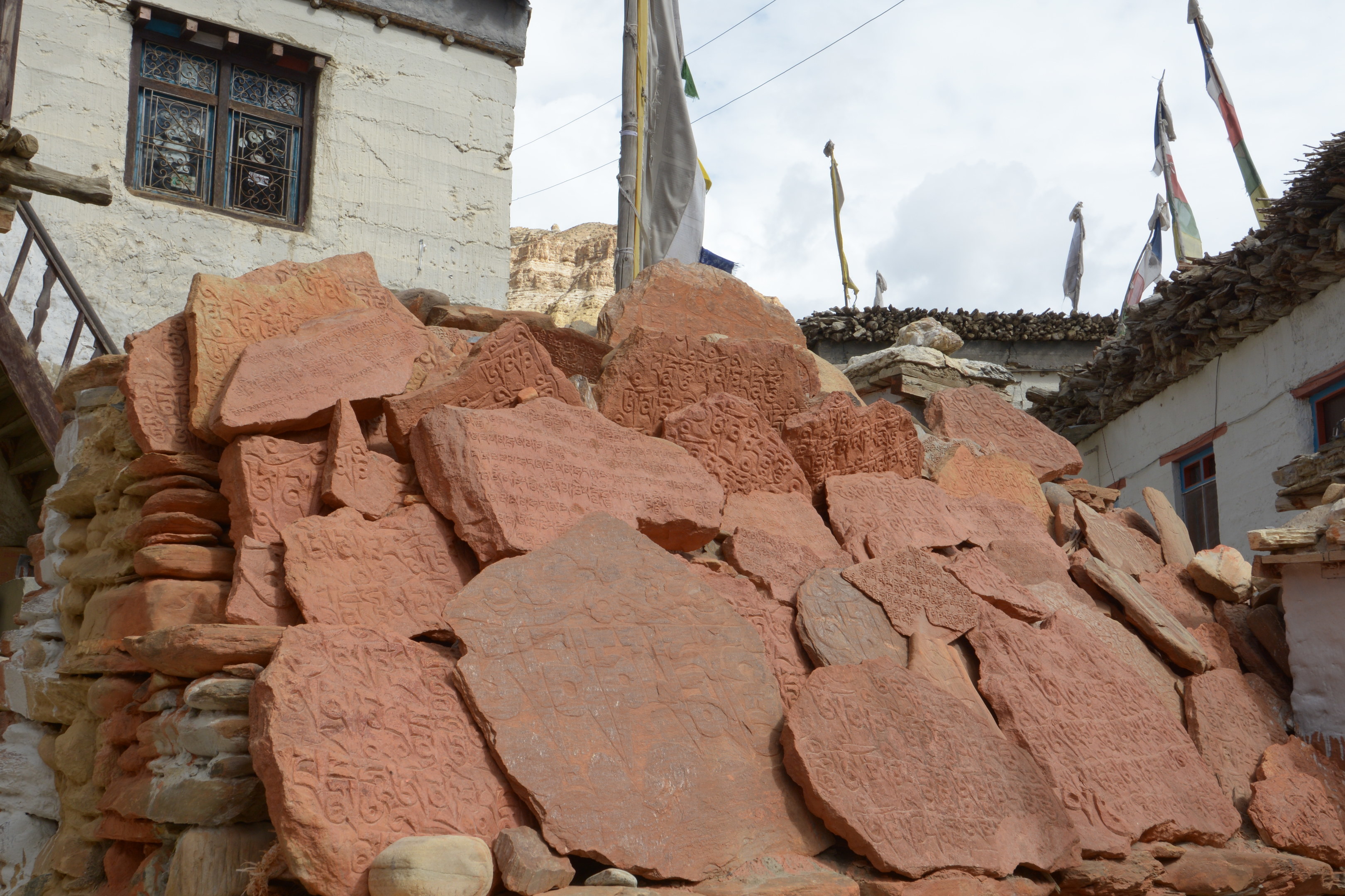
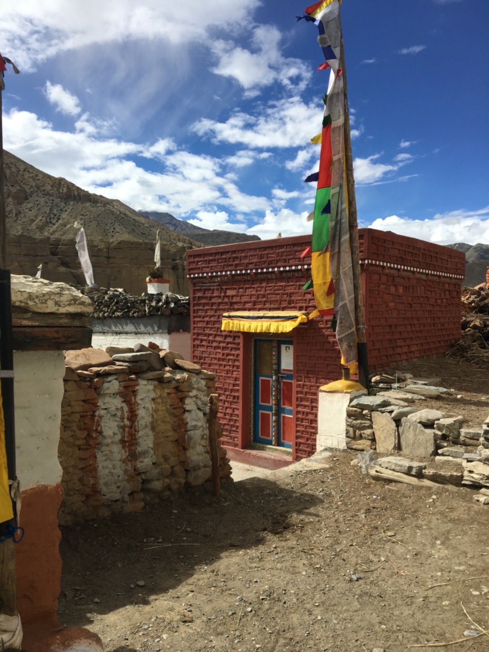
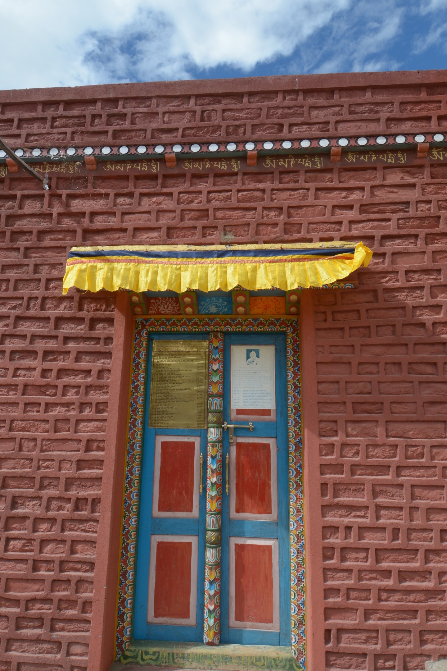
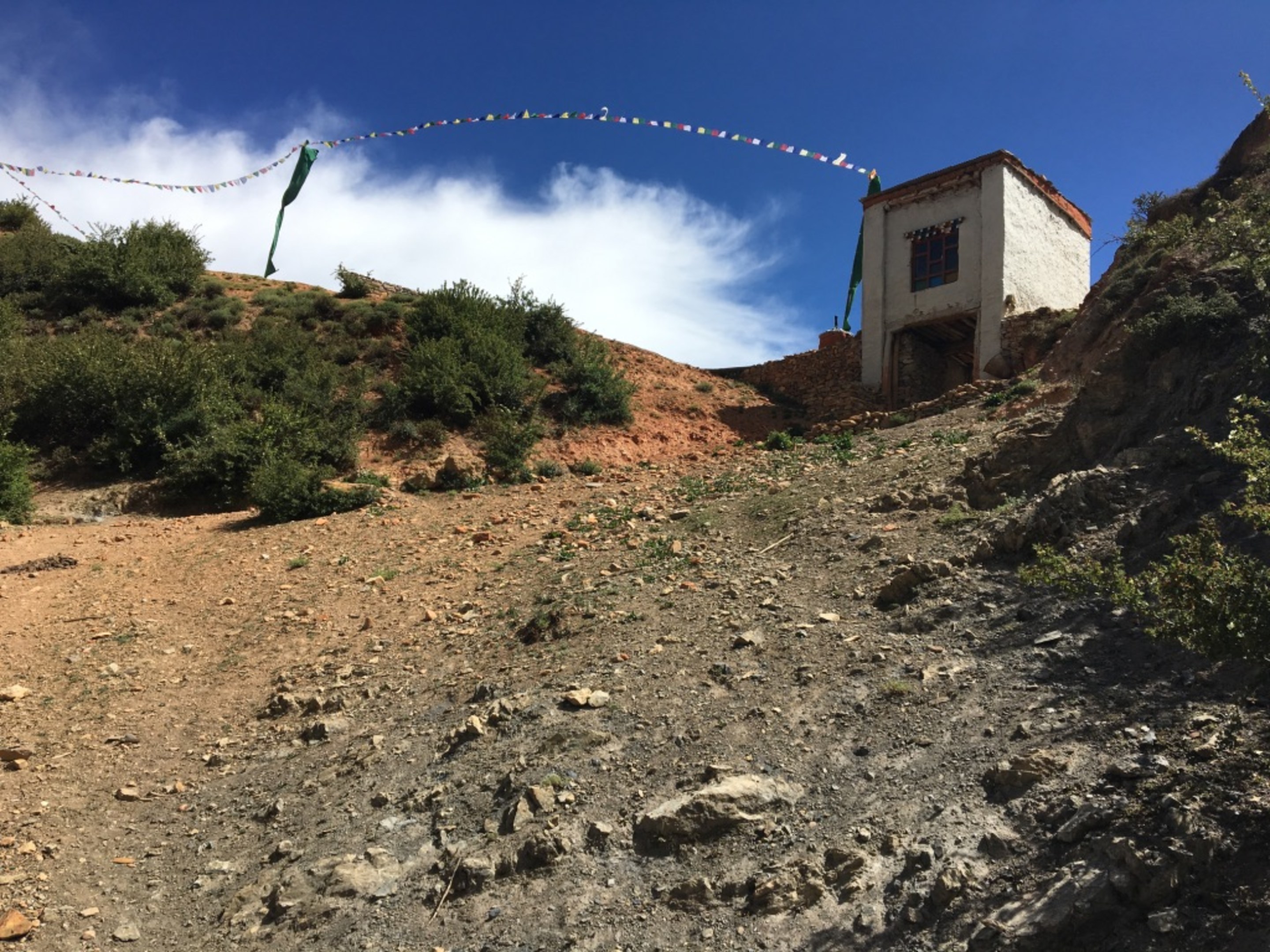
Going through Chaile, we came across this stack of possibly engraved pieces of prayers. Not sure where they came from but must be important for teh locals to keep them even though it is in pieces. Unfortunately the small building housing the prayer wheel was closed.
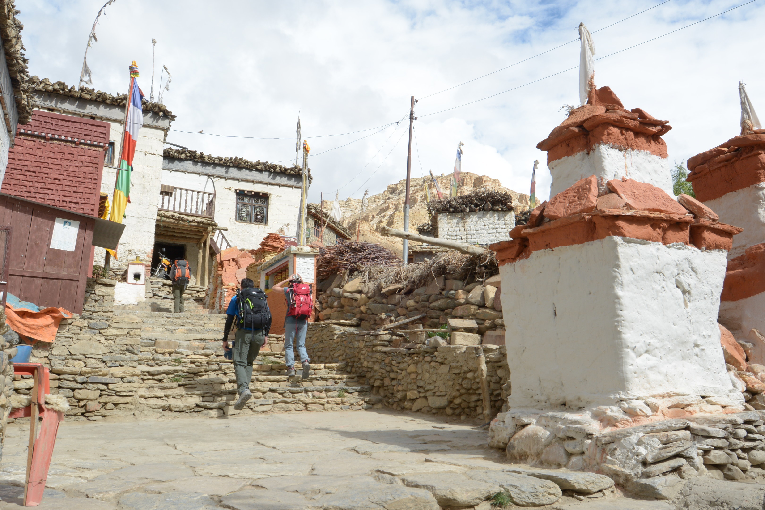
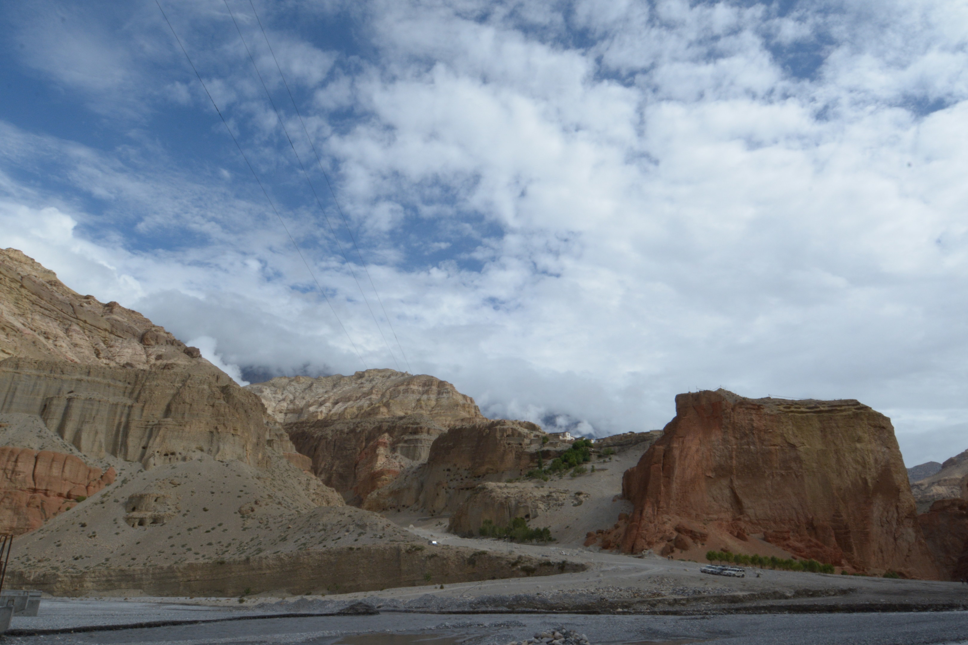
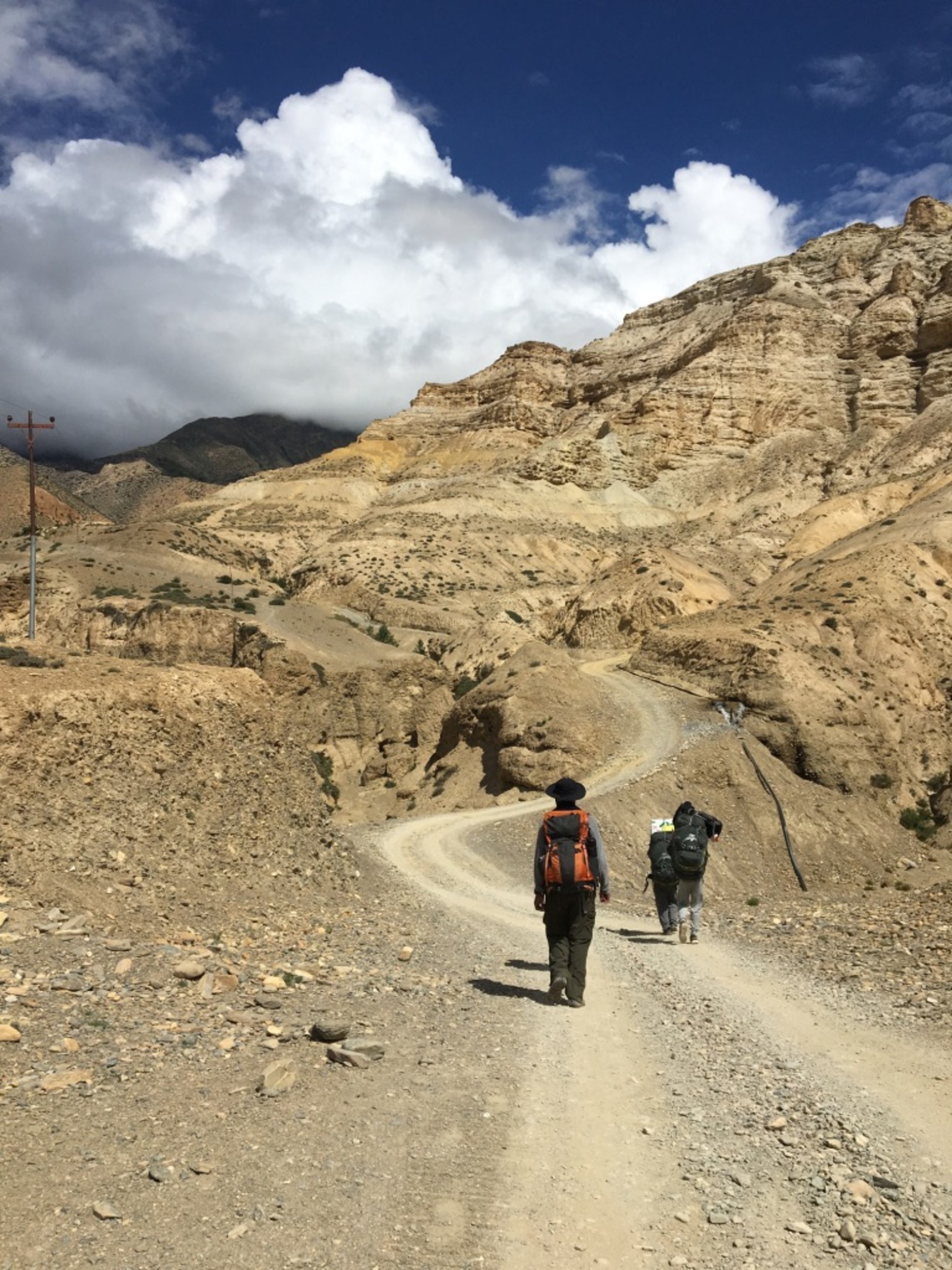
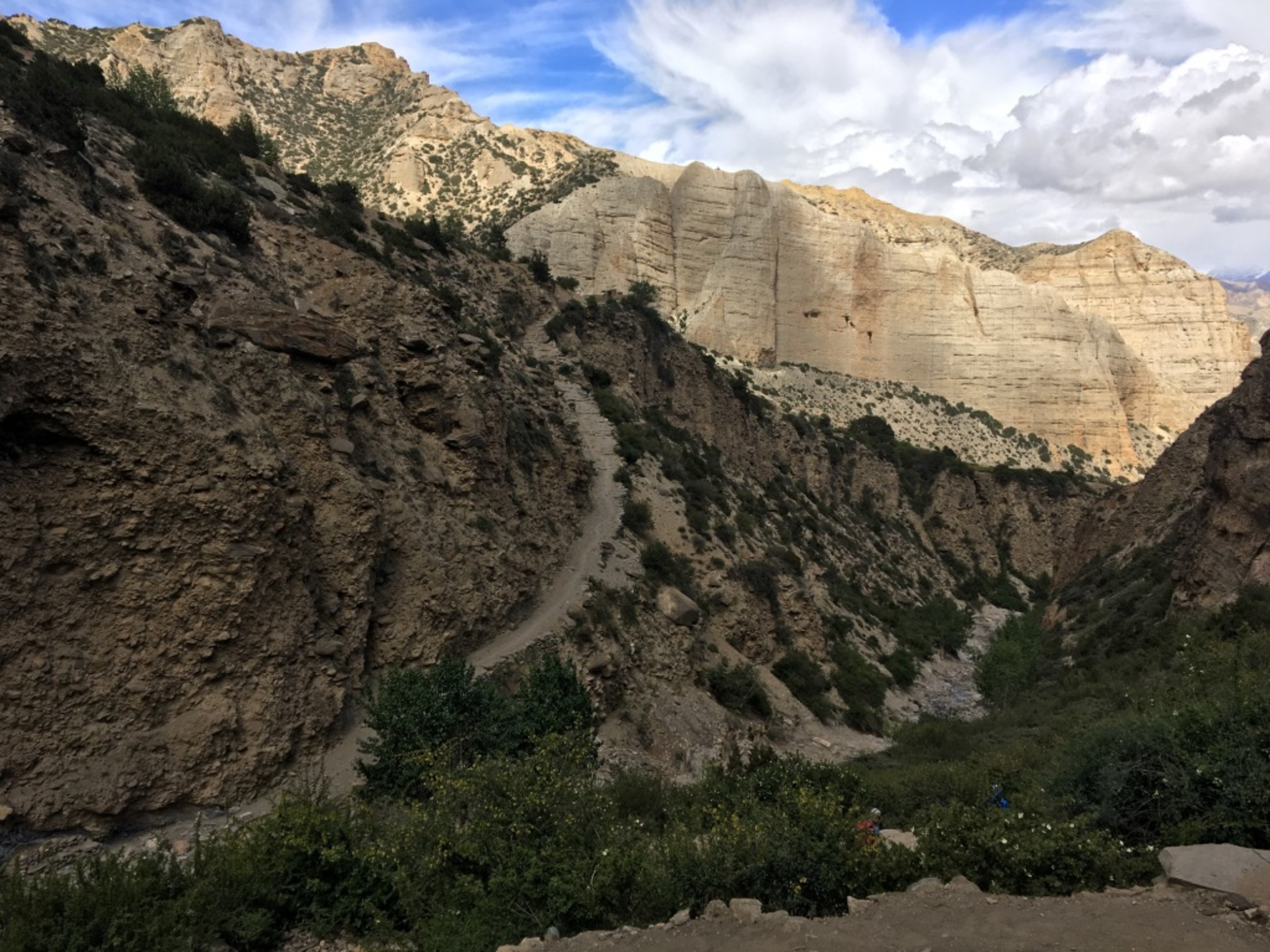
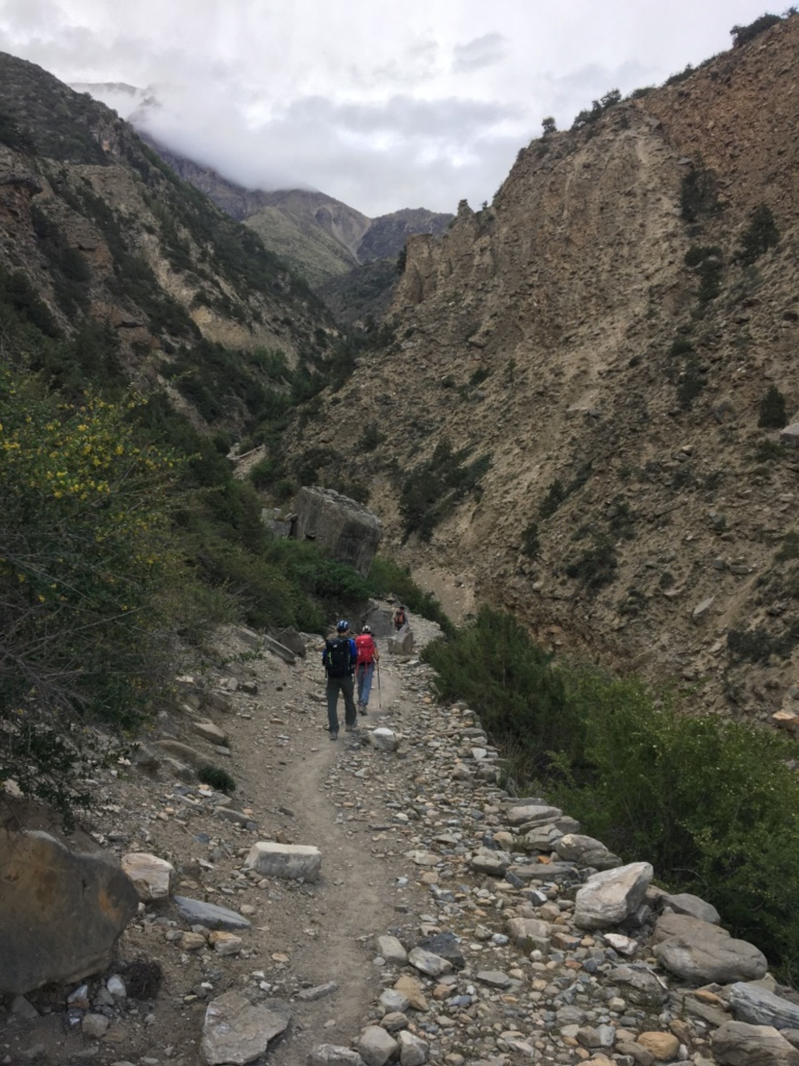
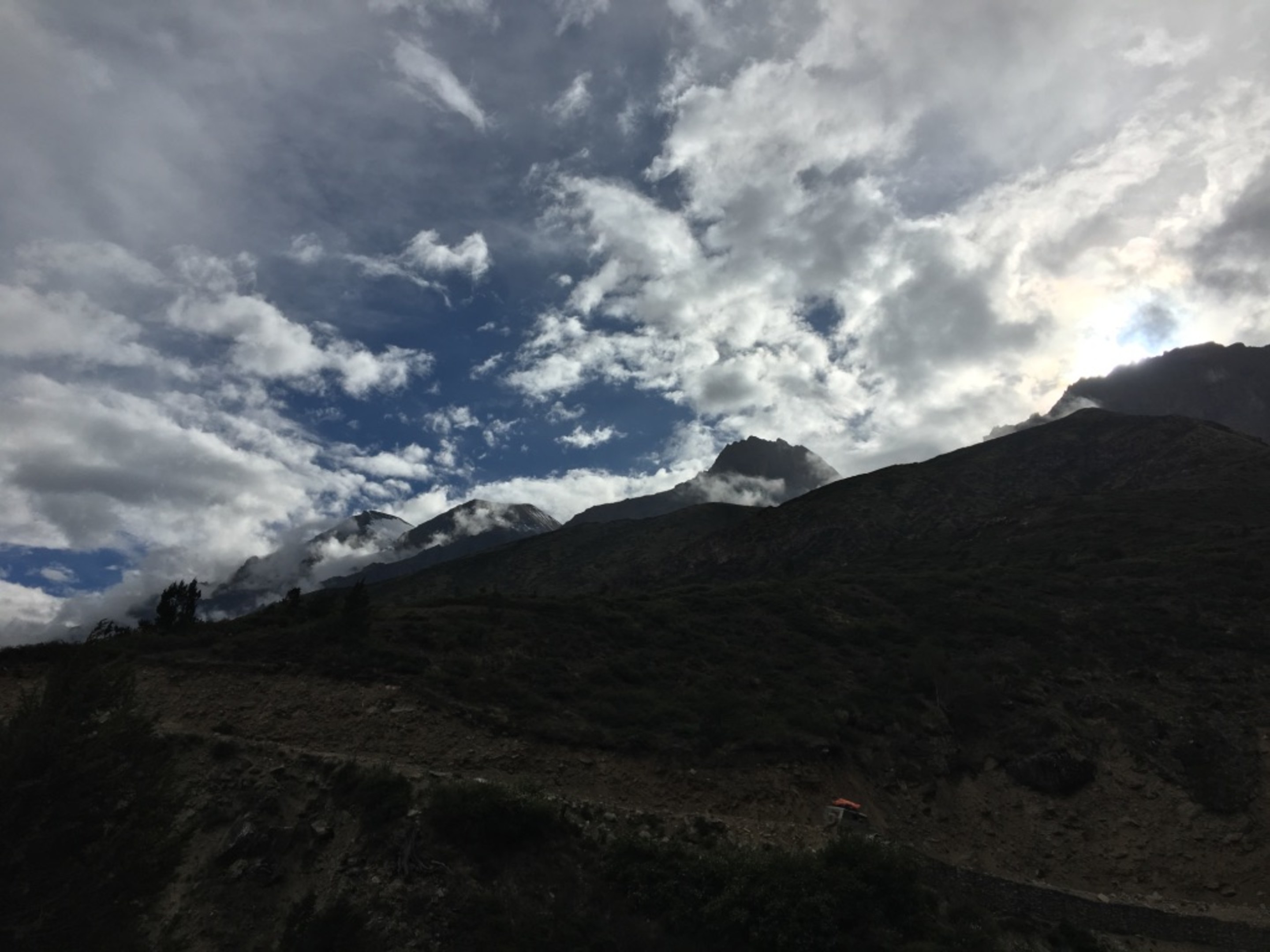
Popping out of Chaile on the otherside, we were definately higher up than we started the day with. Unknowingly at this point, today was to be the longest and hardest day of our trek and we did not reach Geiling as intended. This next section here, we decided to follow the road instead of the trail(trail steeper but shorter). I did not realize how bloody steep and long even the road was until much later when we came down the same way with 4x4 from Lo Manthang.
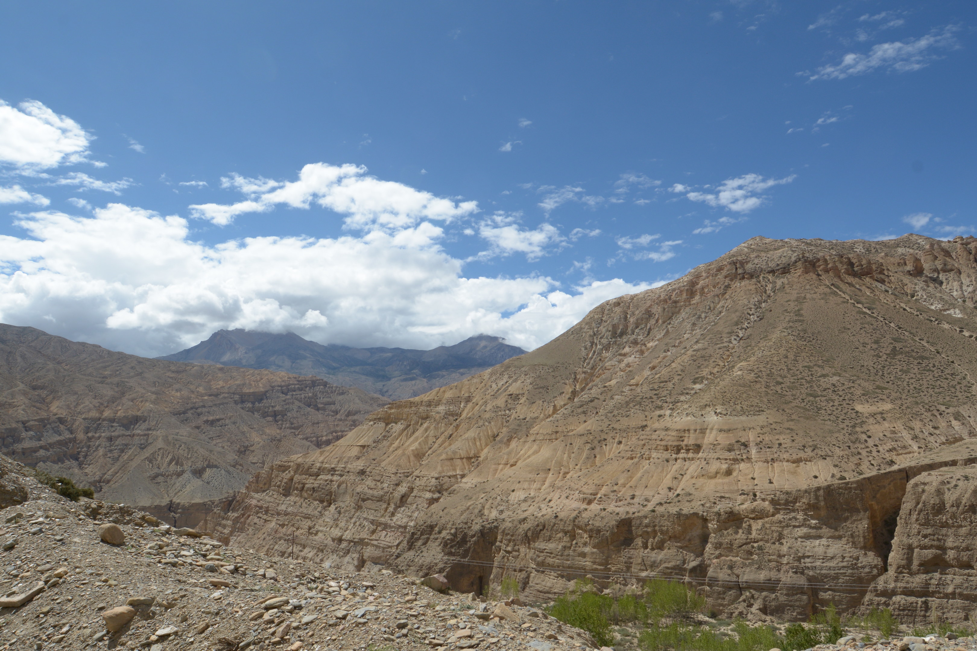
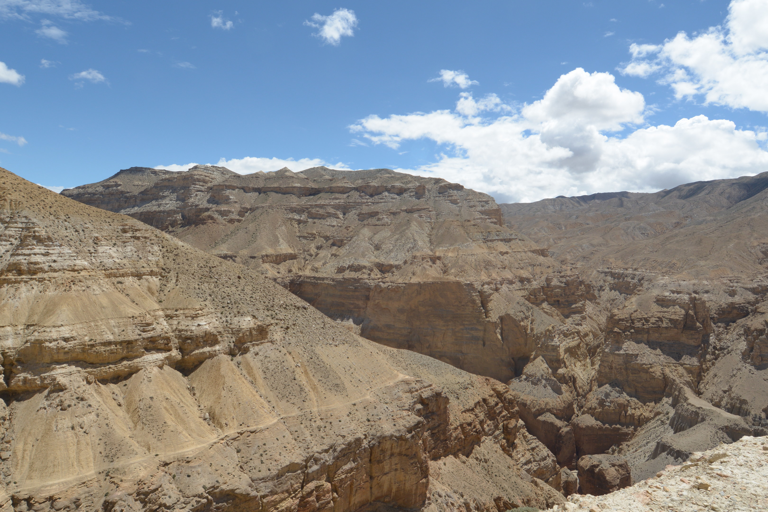
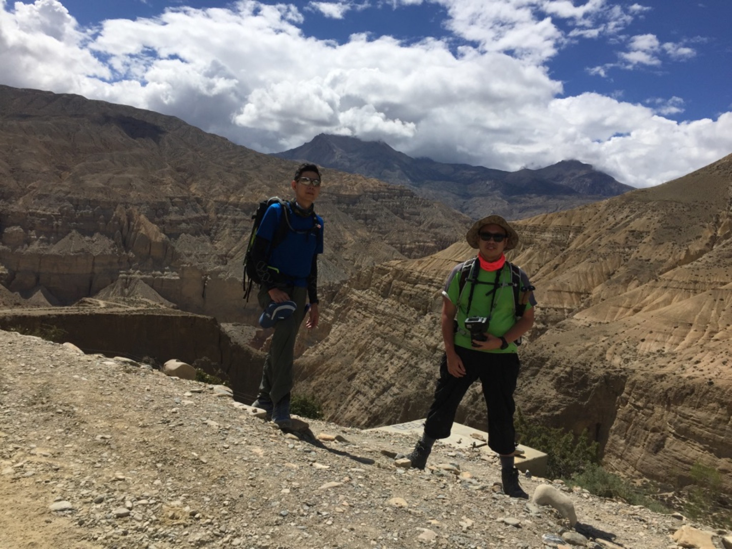
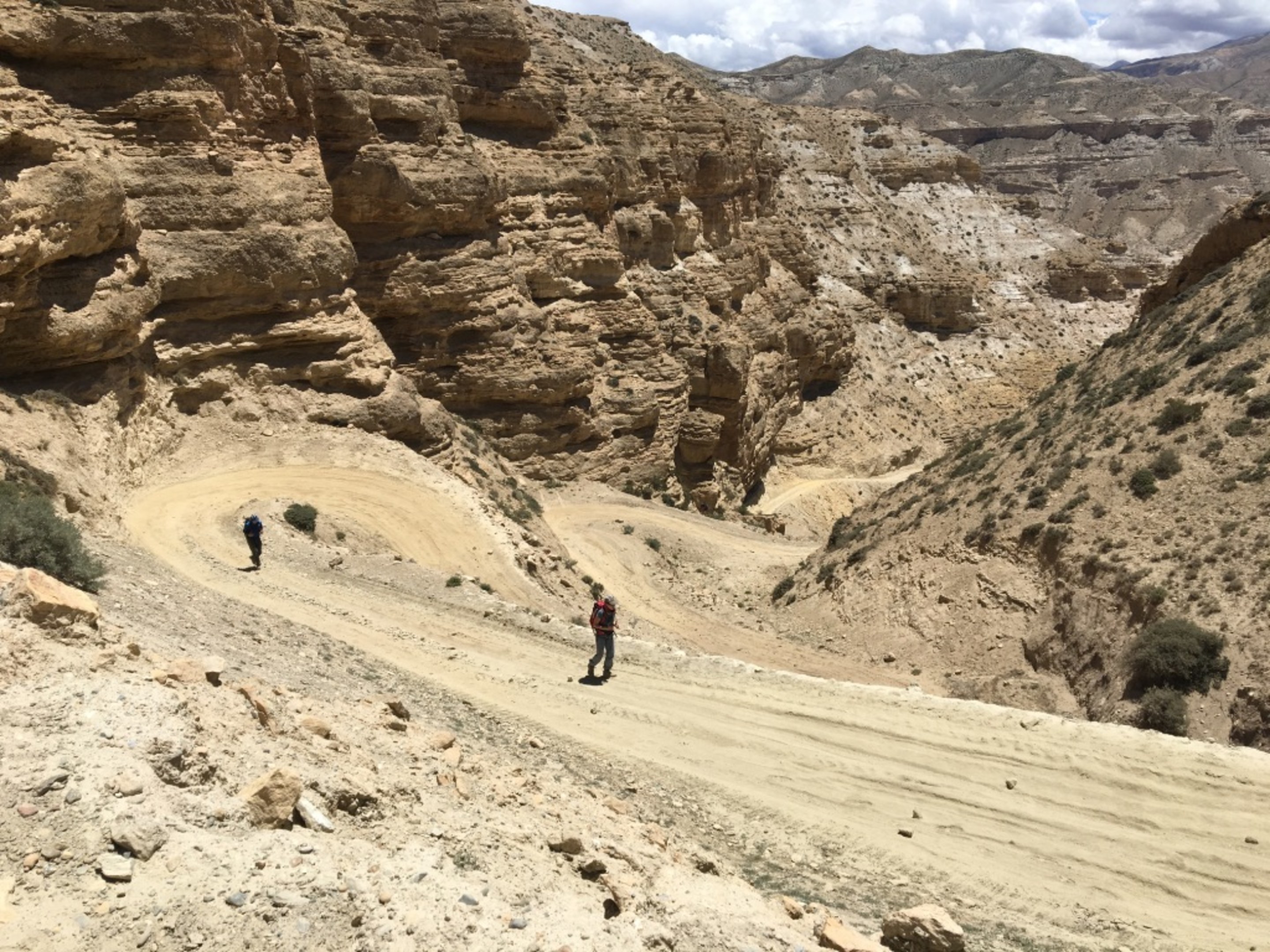
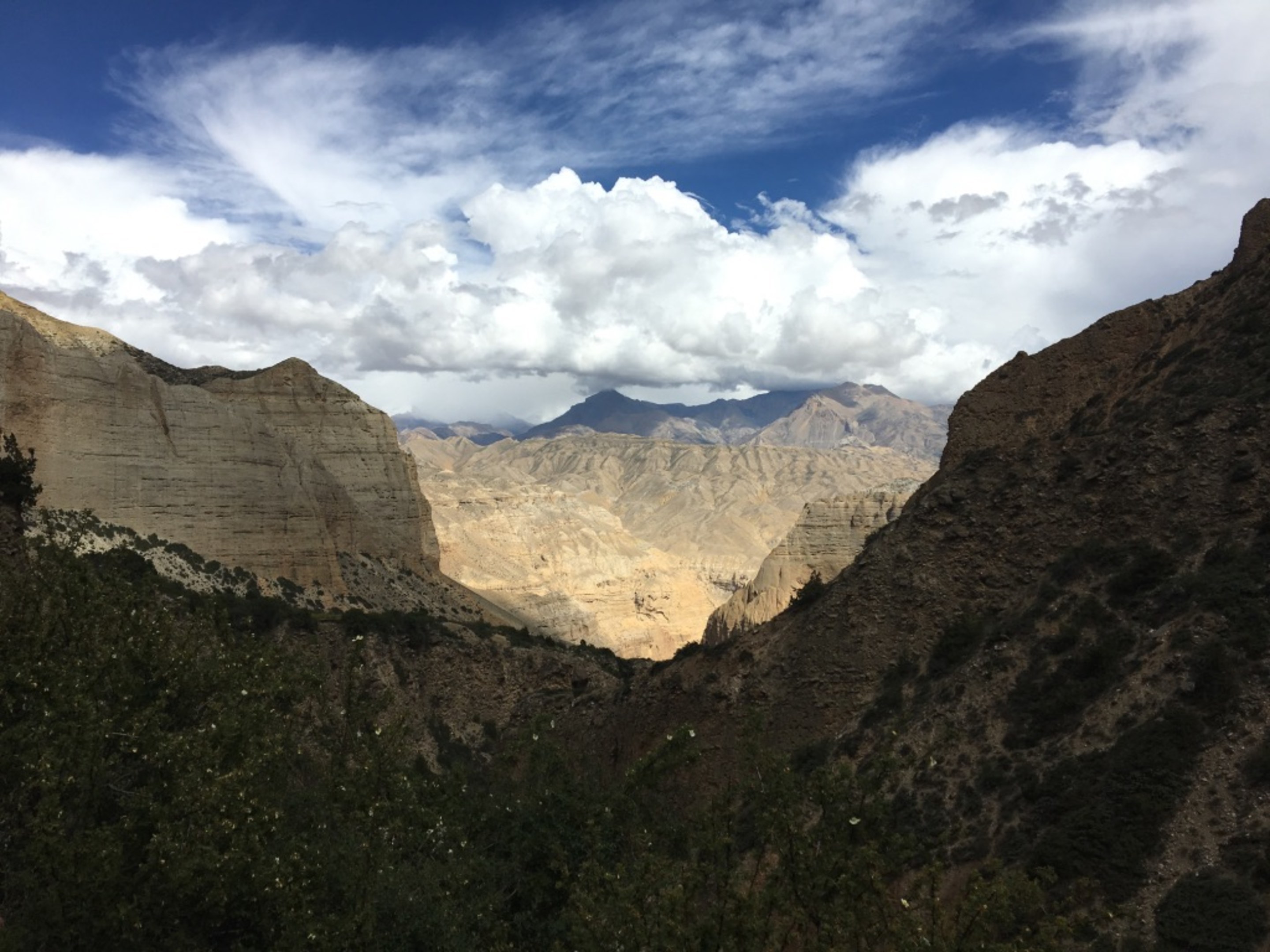
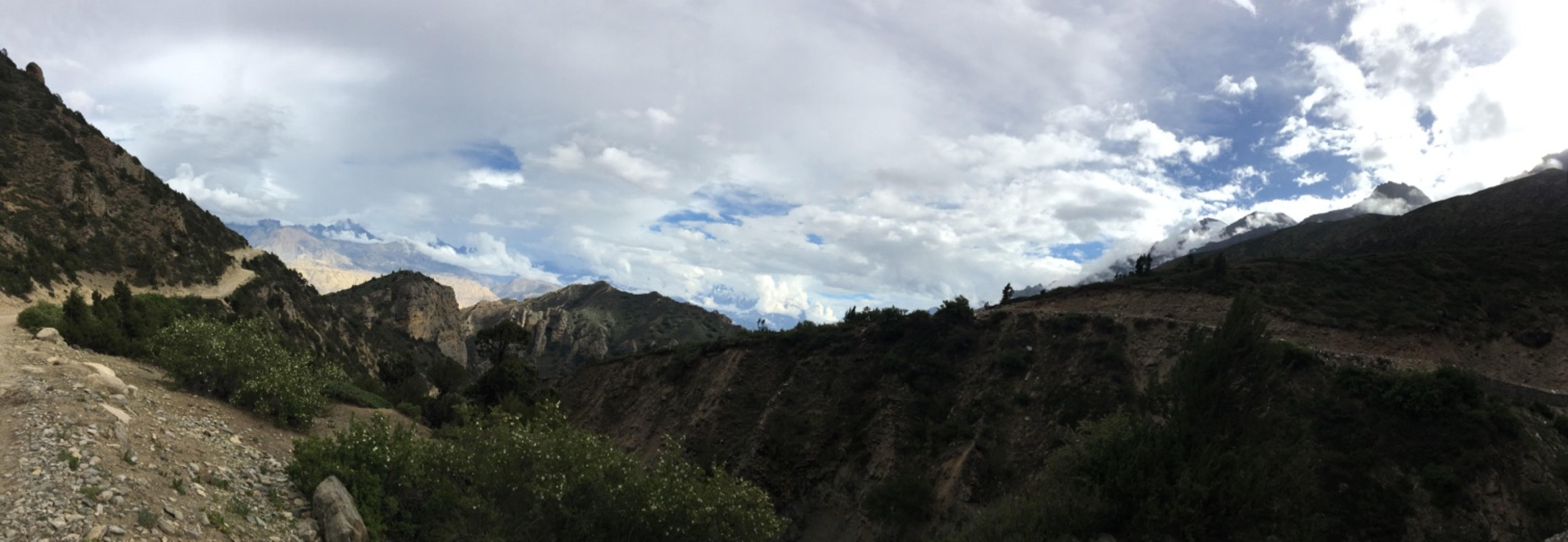
The next four photos here is out of chronological order(taken with Nikon D7100 instead of iphone). In the third photo, you can see a small plateau in the mid lower left part. This is the same plateau my fellow trekkers are on in photo just above.
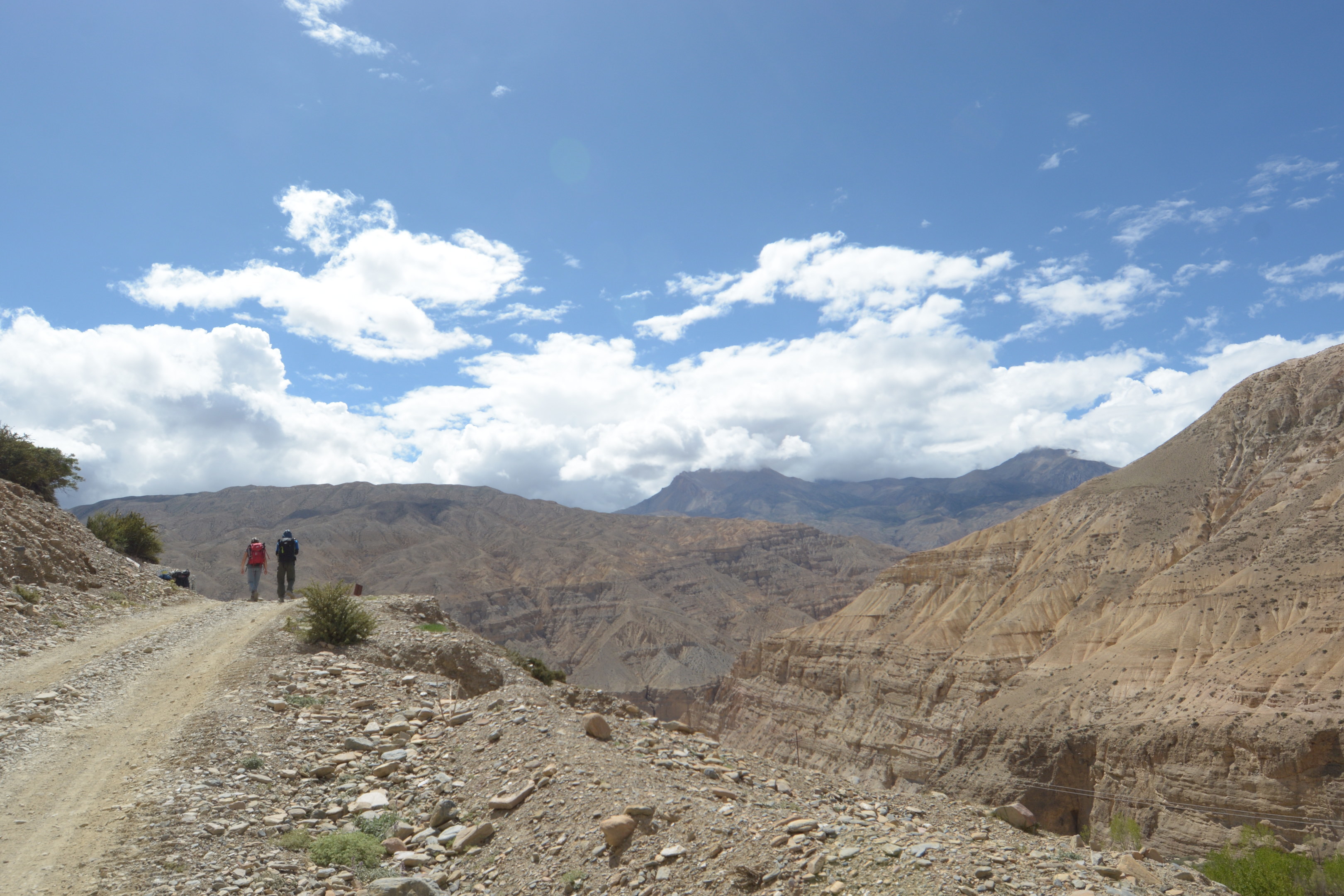
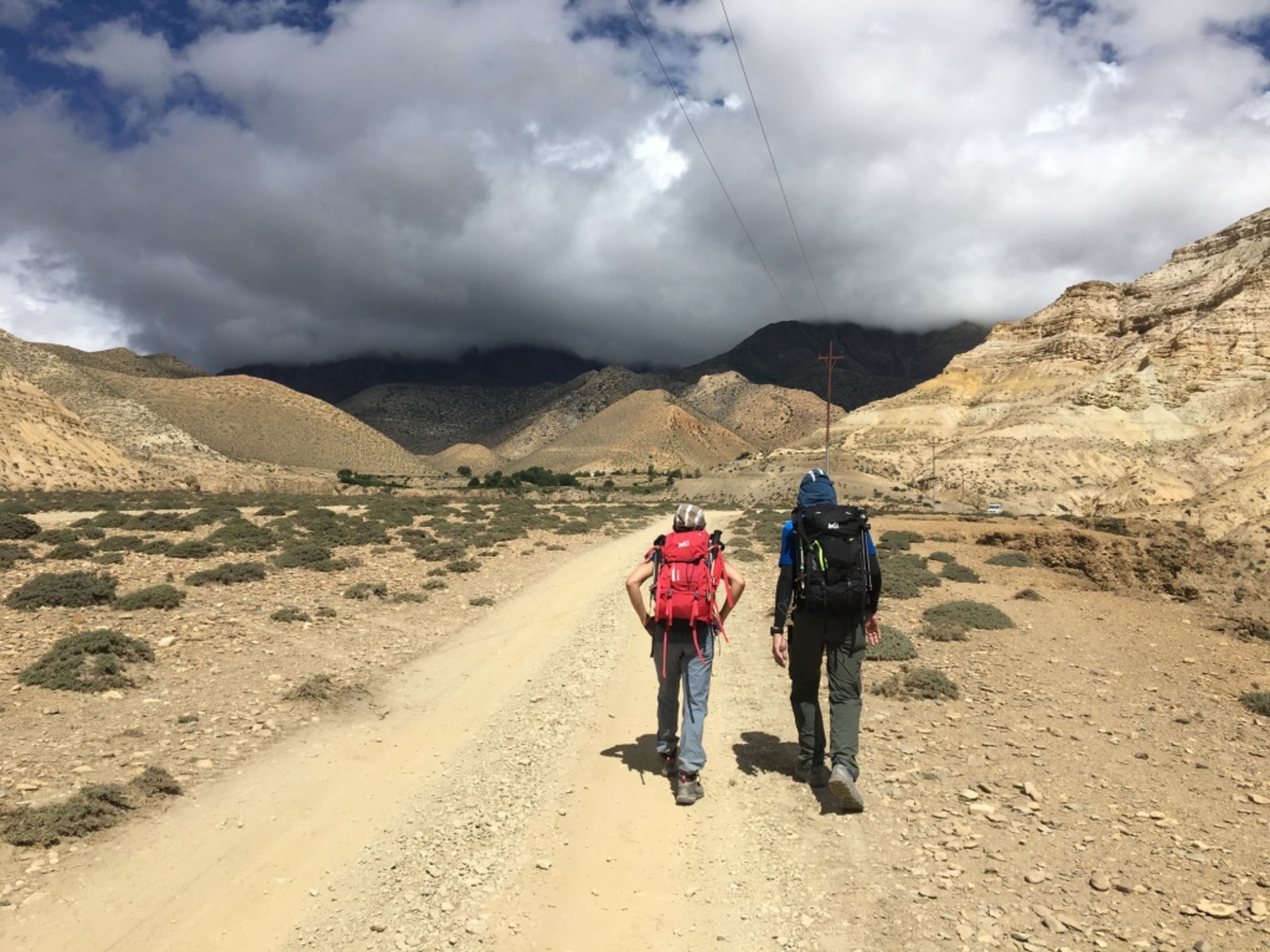
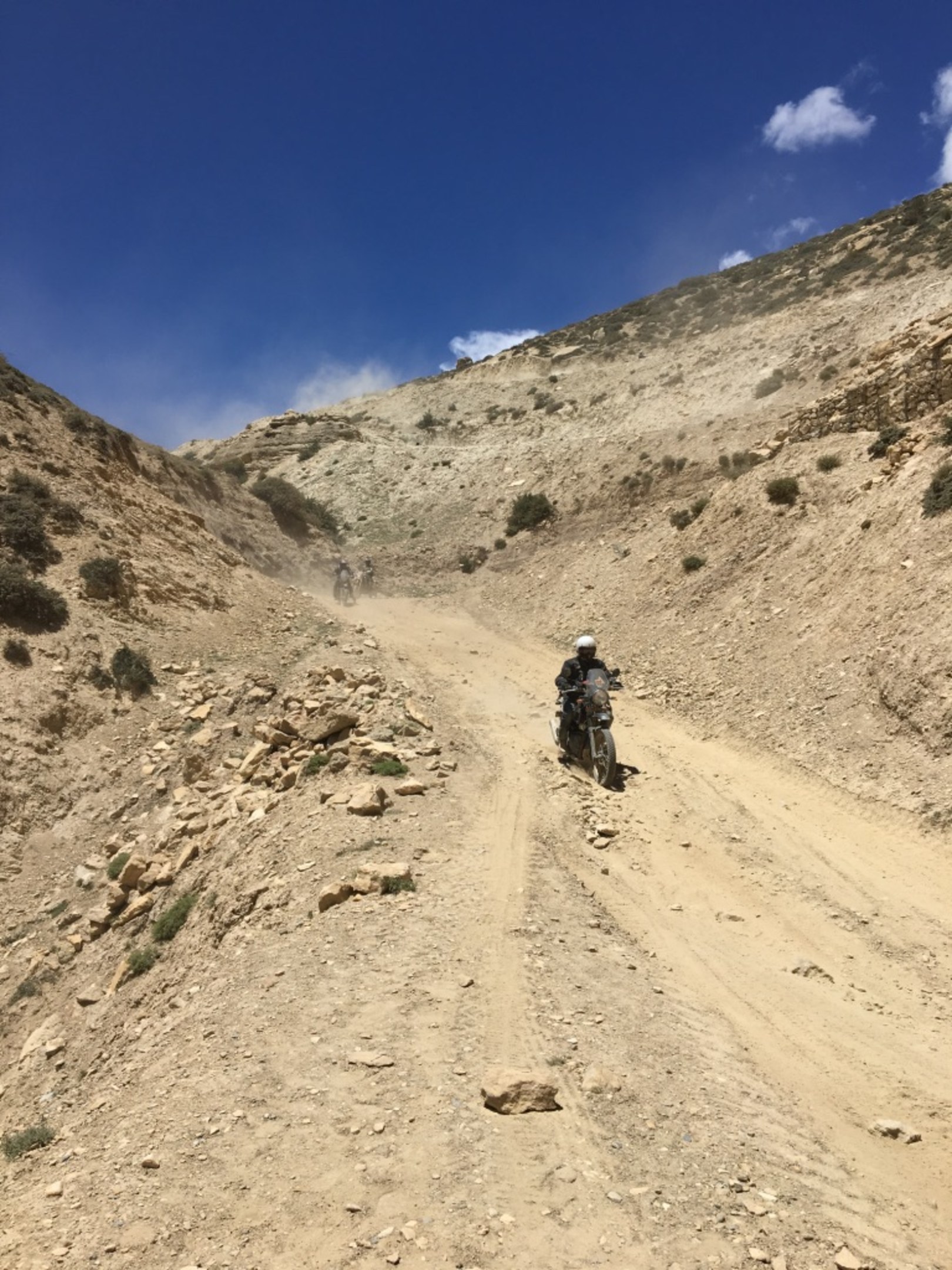
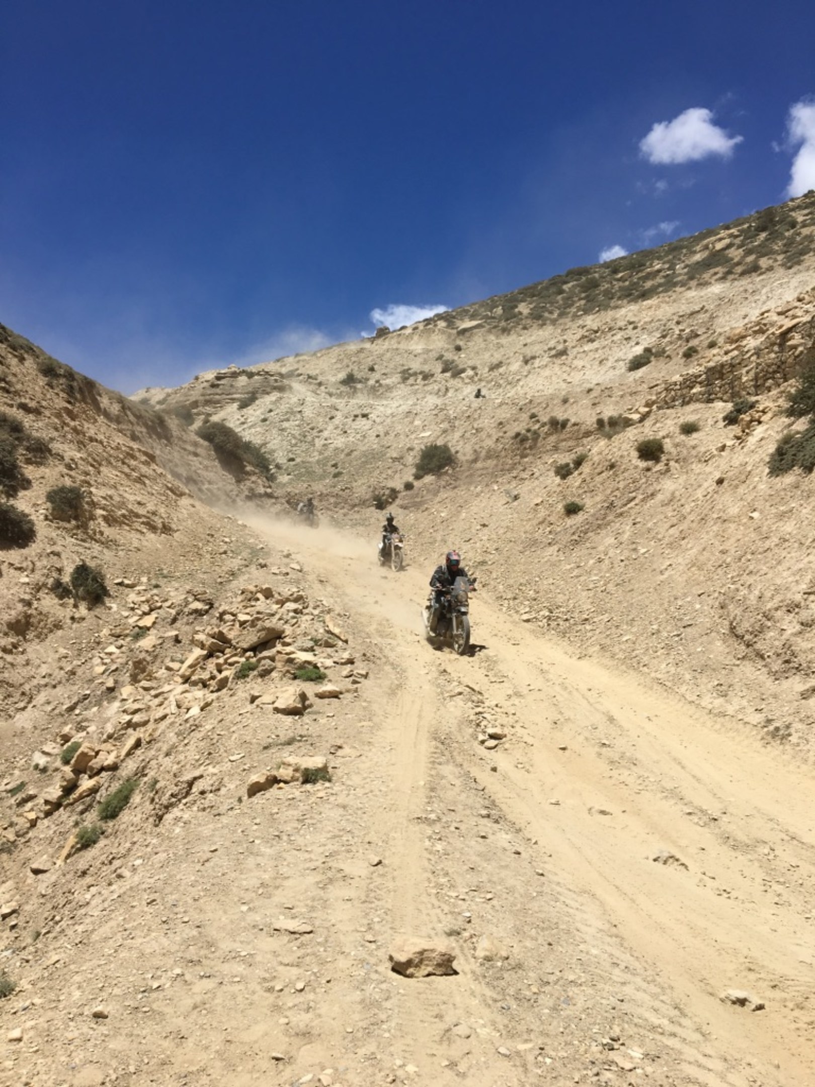
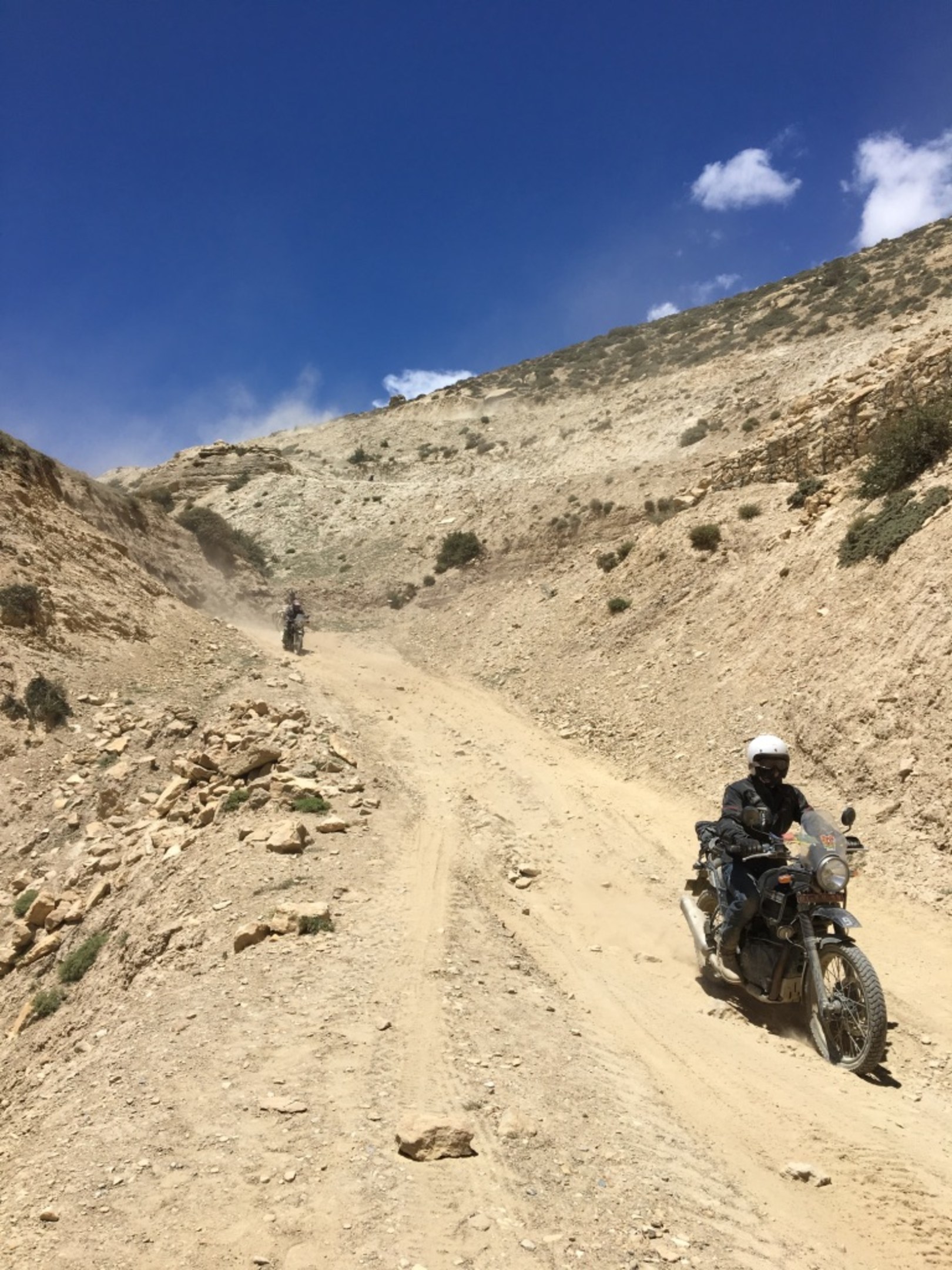
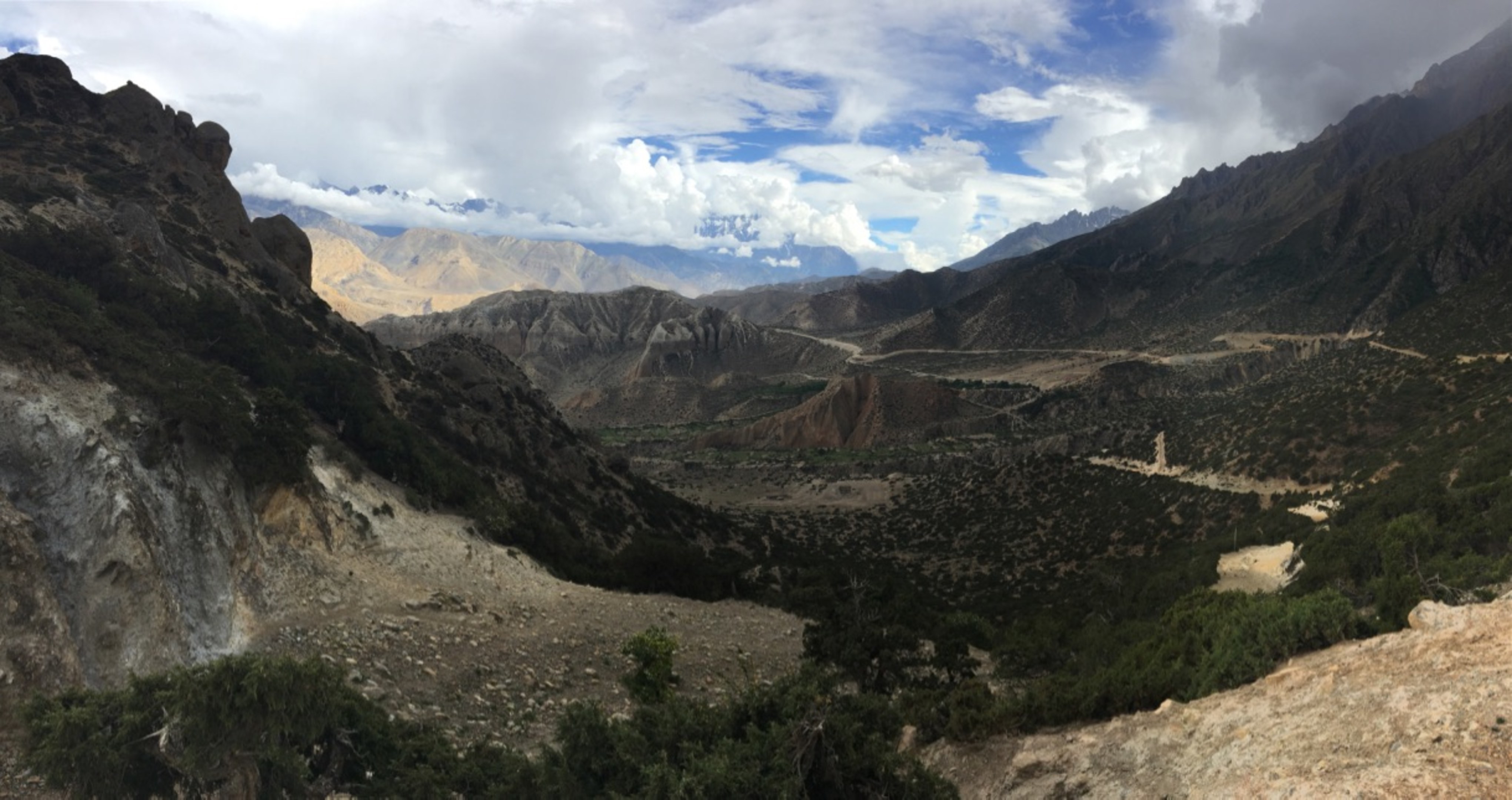
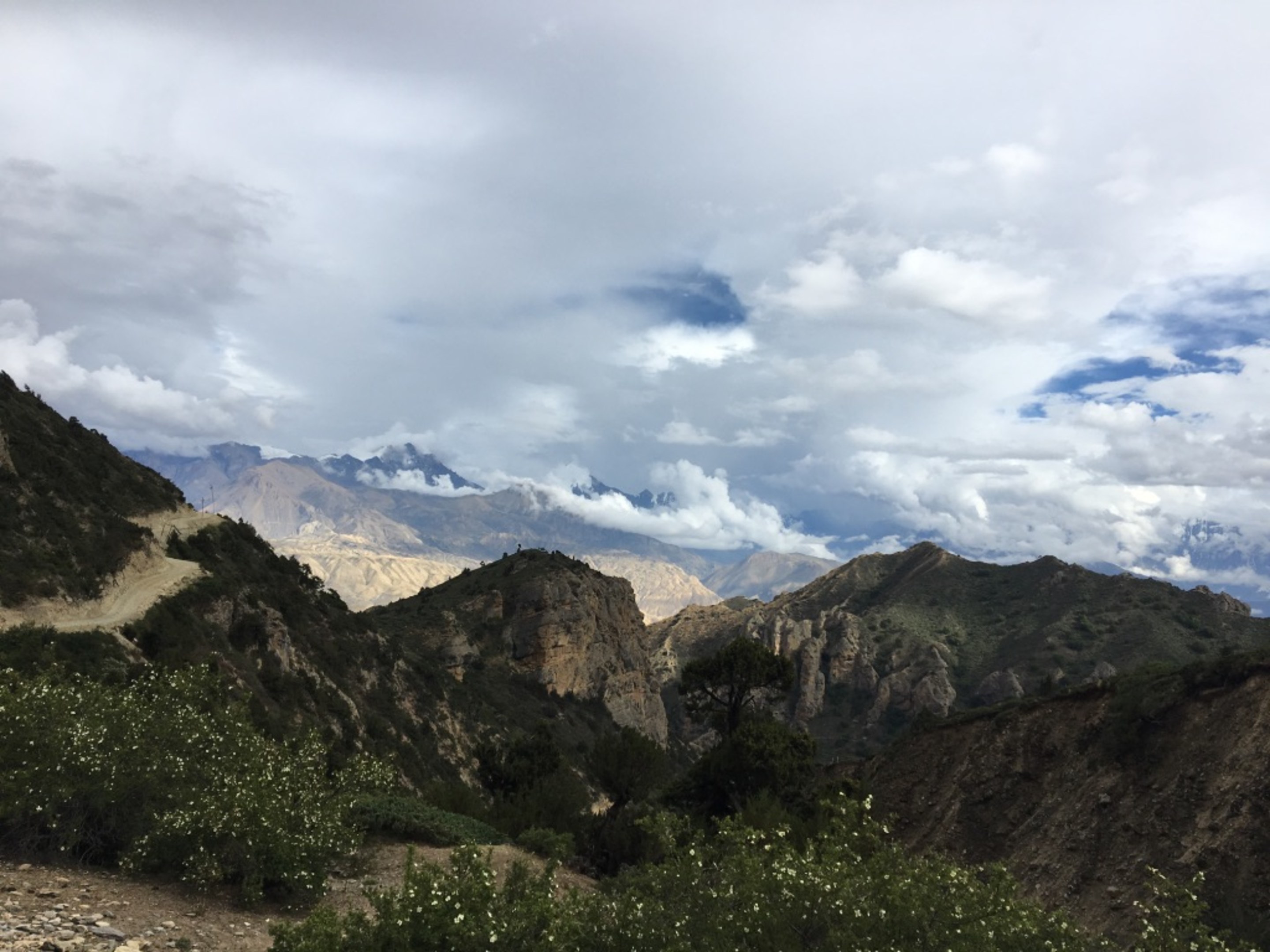
...and the trek continues up, winding and raising its way up to another plateau. Thinkt it took us a better part of an hour for this section. Almost to the top, I could see puffs of dust which turn out to be a group of motorcyclists coming down. The road here is steep and full of soft loose sand so very dusty. Along the way up, I seem to have found my second wind and left my fellow trekkers behind. If I read my data correctly, we climb 300m within a distance of 1.1km. Maybe you can get a sense of how steep it is from the last photo.
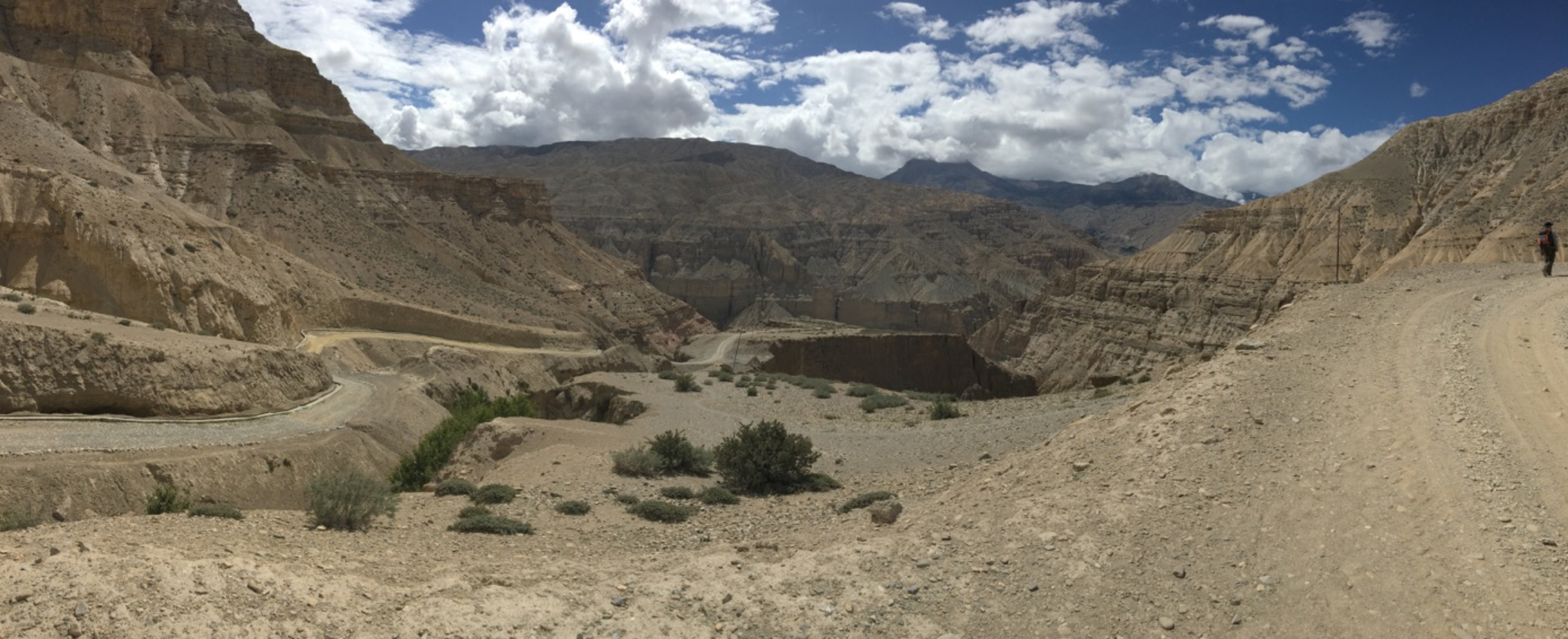
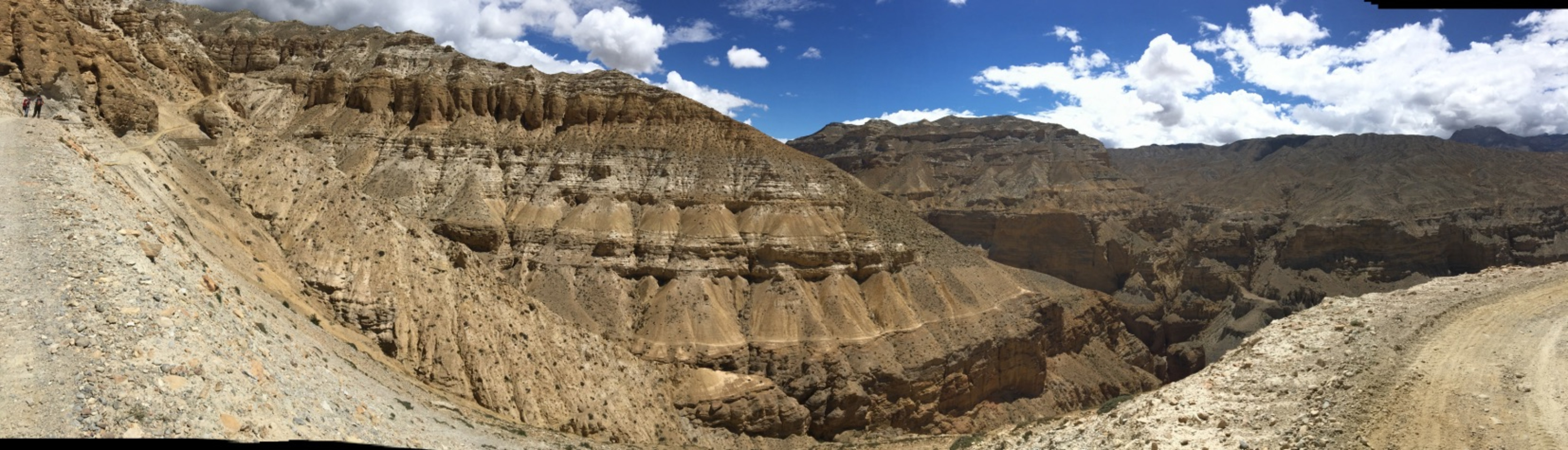
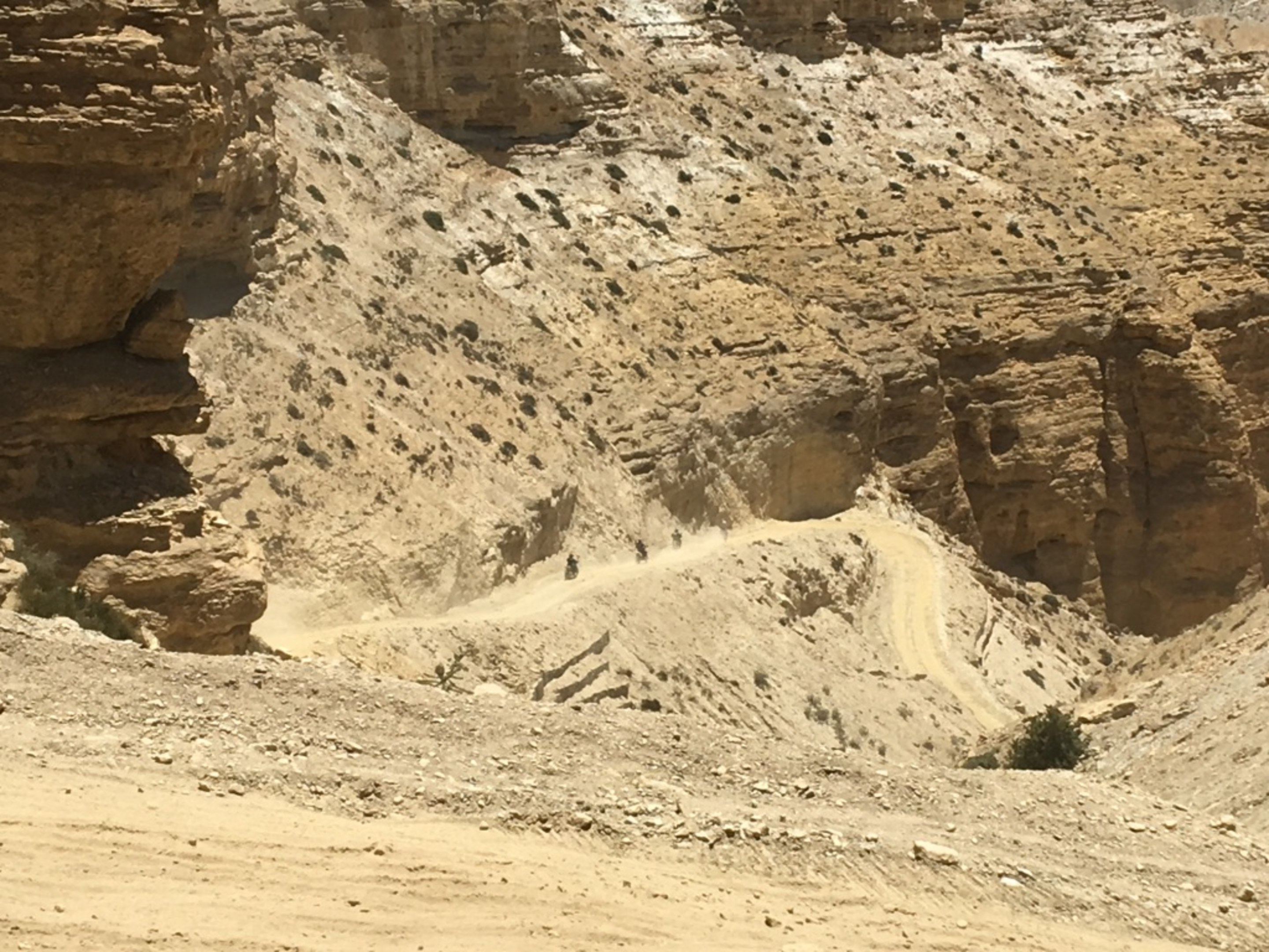
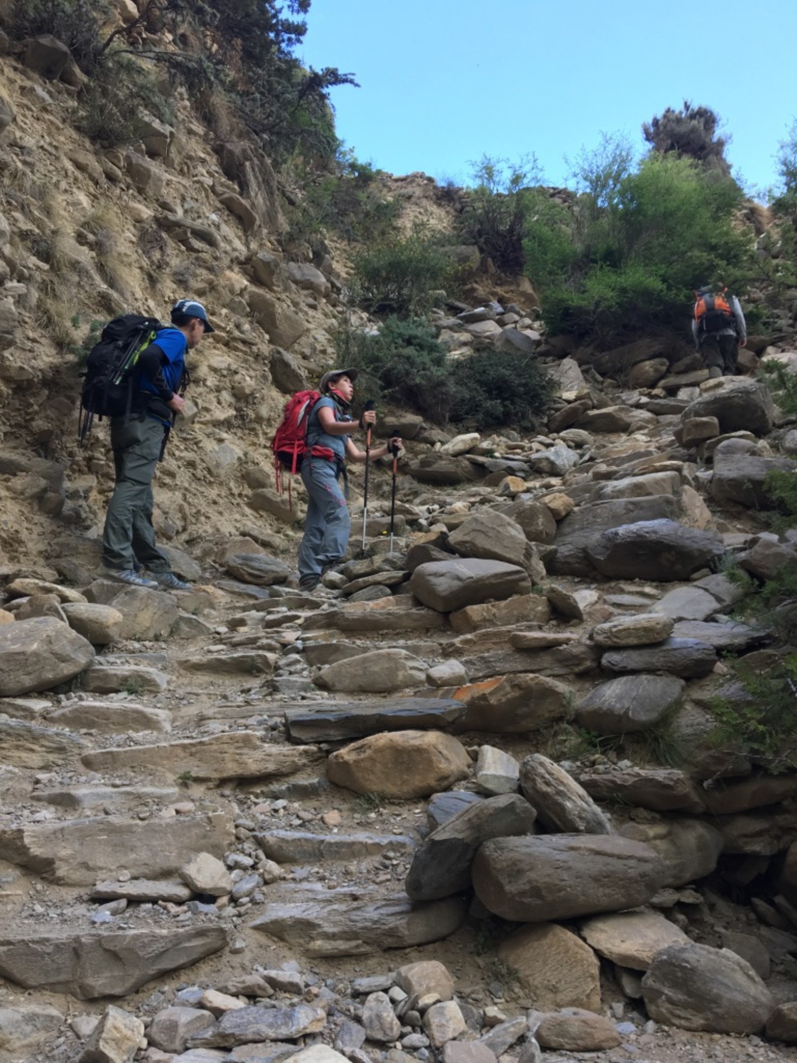
Right in the middle of the photo below you see where we came up from the valley below. Although this part here is less steep, it was still uphill and we were all quite tired and lunch stop was still another hour away. At this point we were about 3600m.
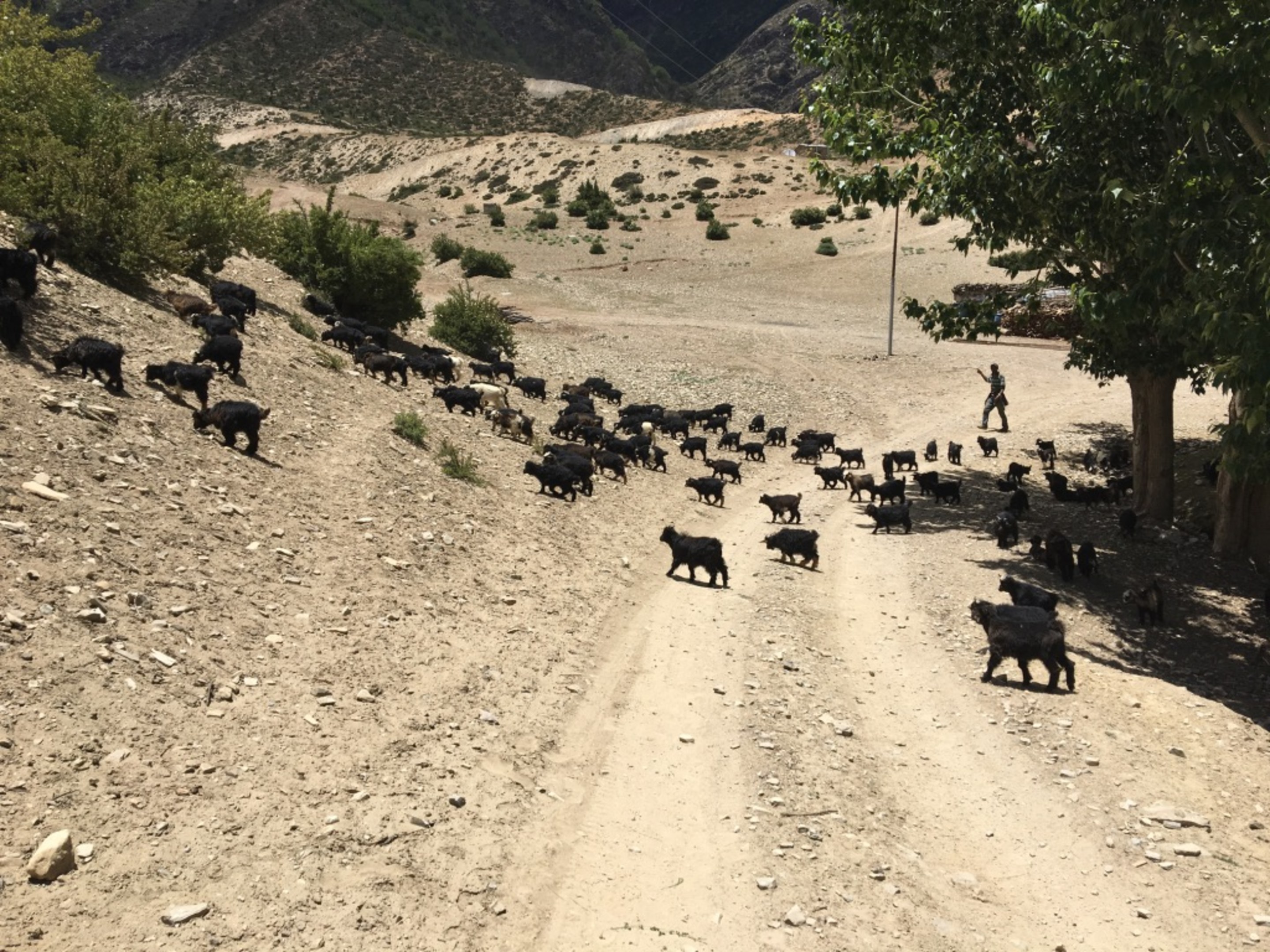
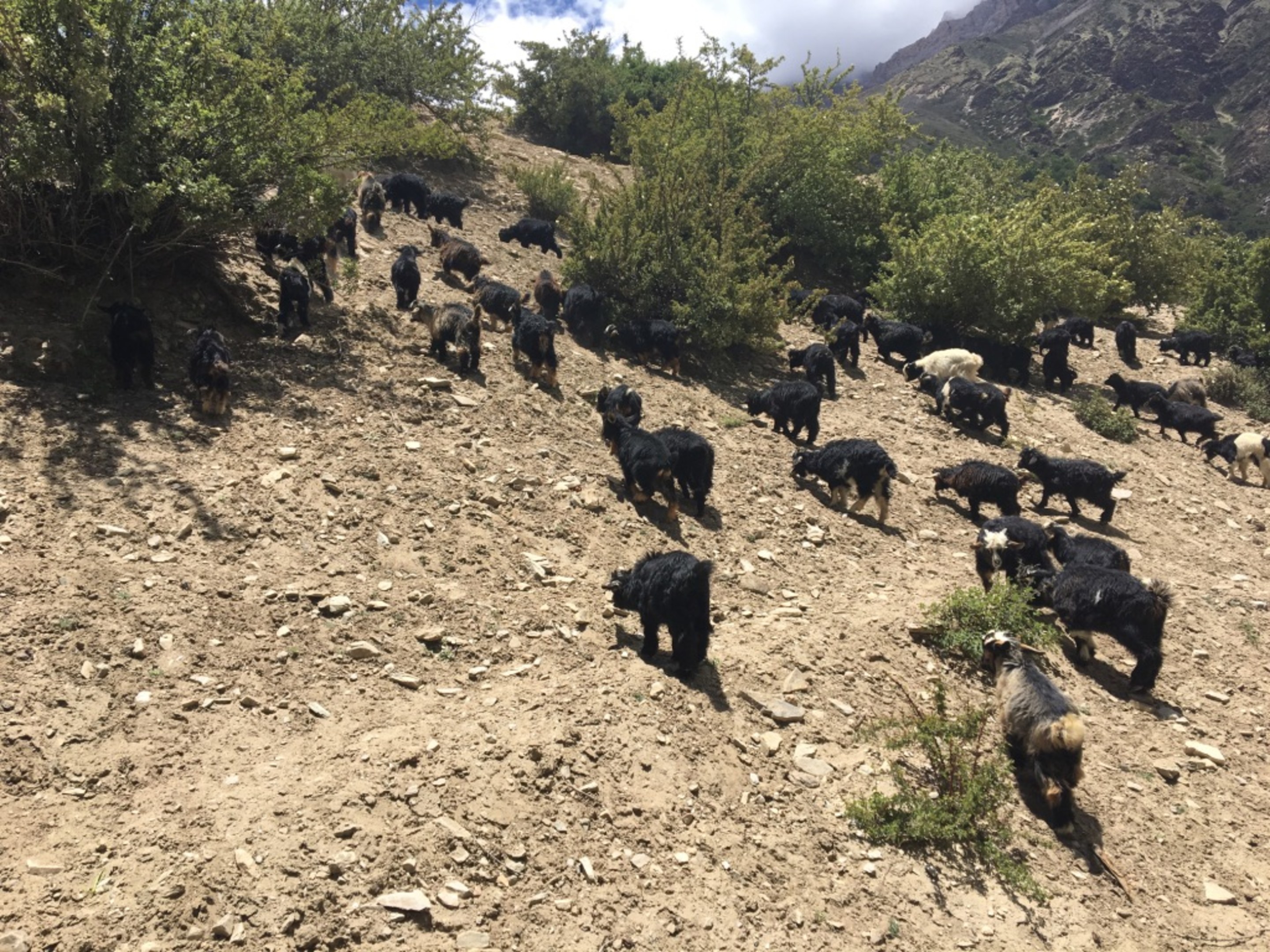
Approaching the village of Samar, we came upon this small roundabout which I thought was very strange to have seeing the amount of traffic. It wasn't until later when we took the 4x4 down from Lo Manthang that I realize why. One side of the roundabout cannot be used going from one direction to the other due the the condition of this part of the road. You can see again the three protection markers that usually means the entry to a village. As I approach the village proper, I came upon a herd of baby goats foraging. Pretty shaggy funny lookings guys. :)
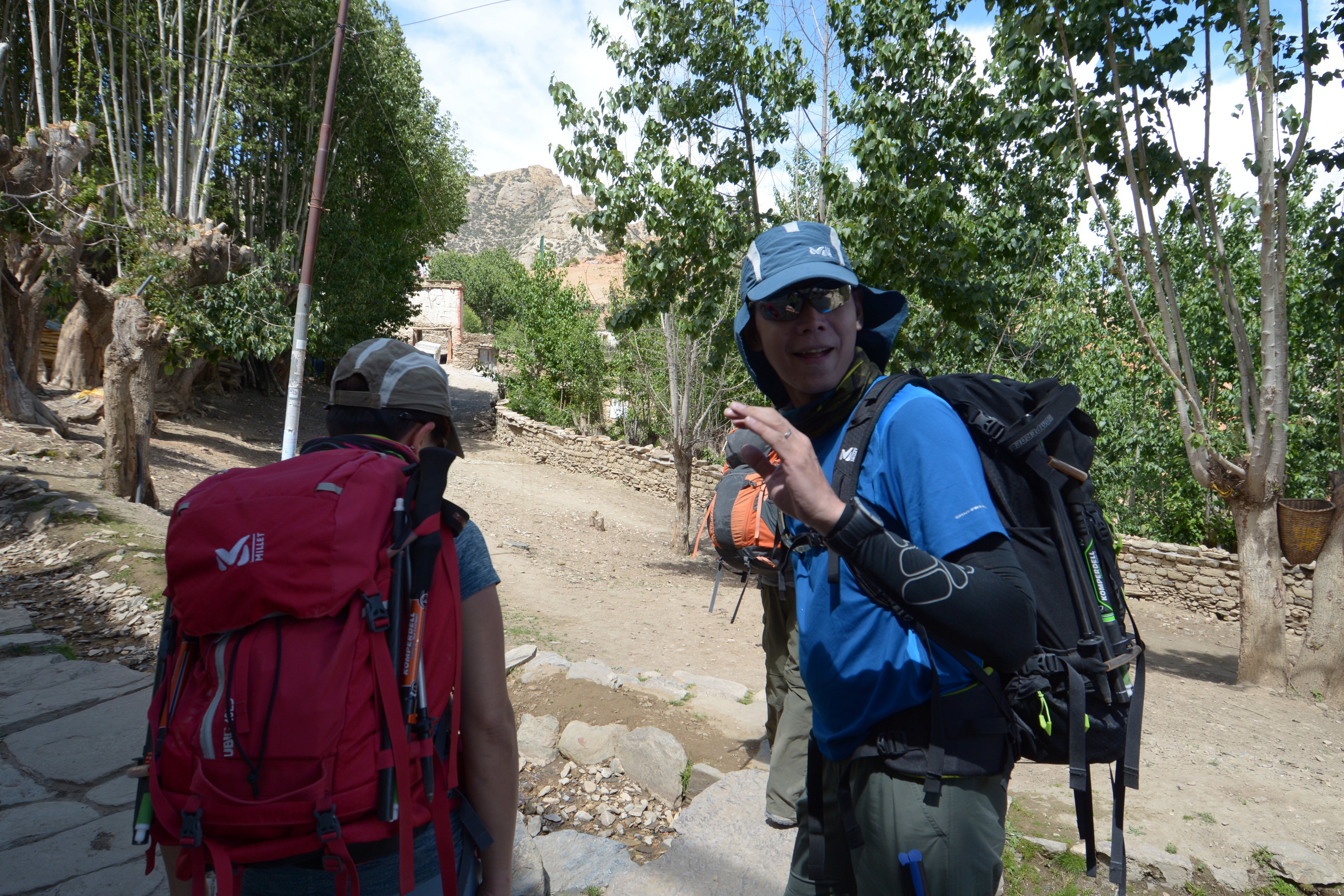
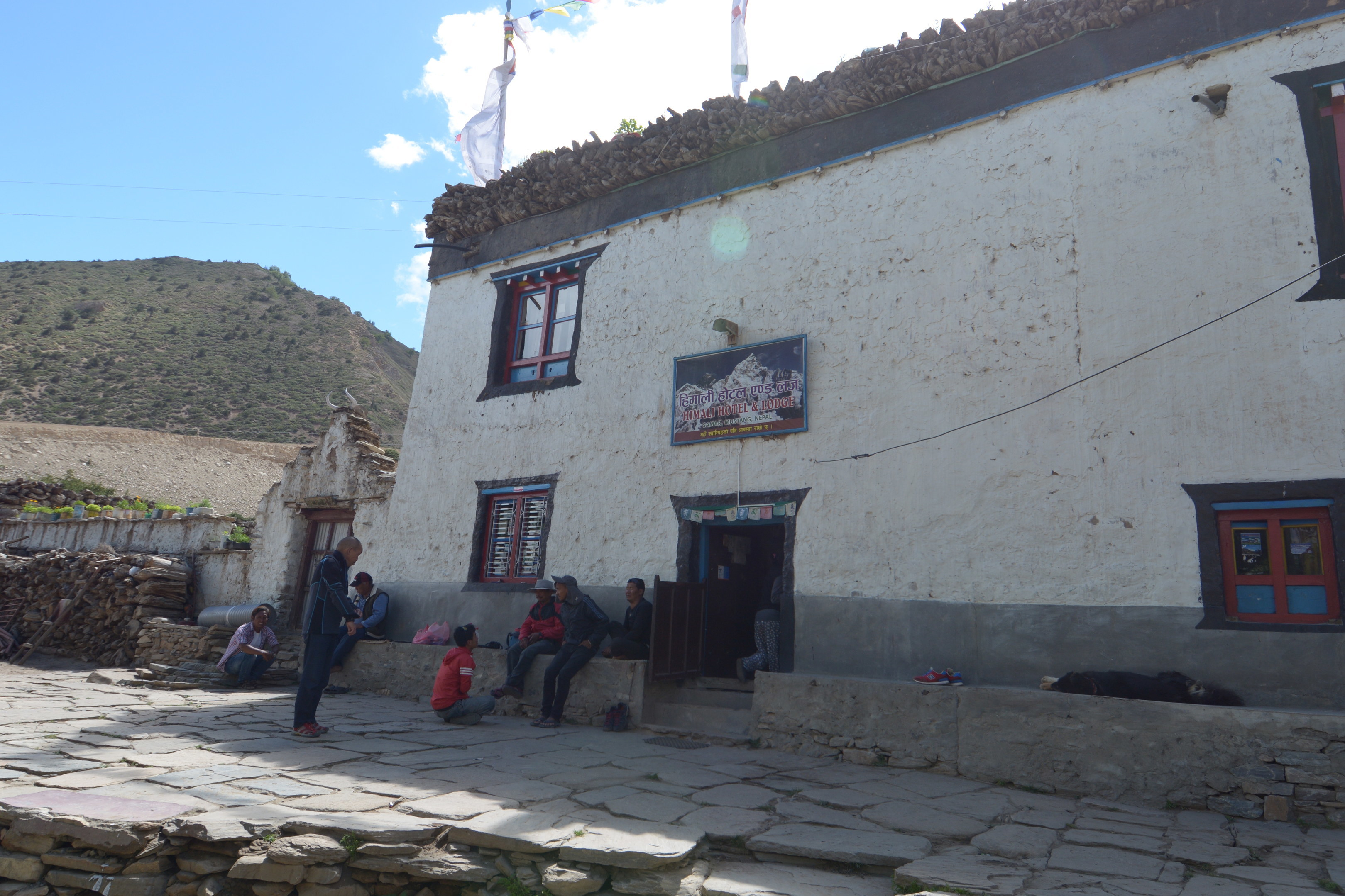
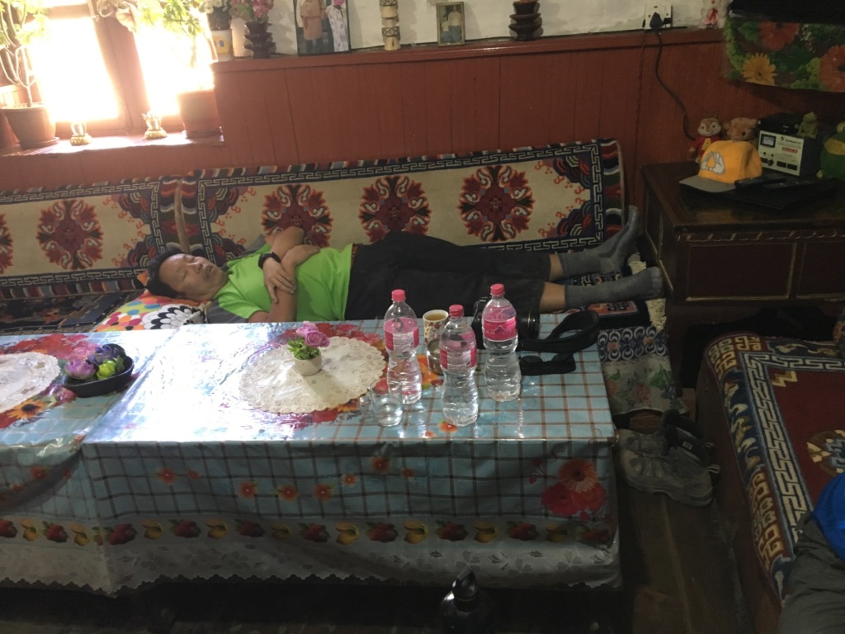
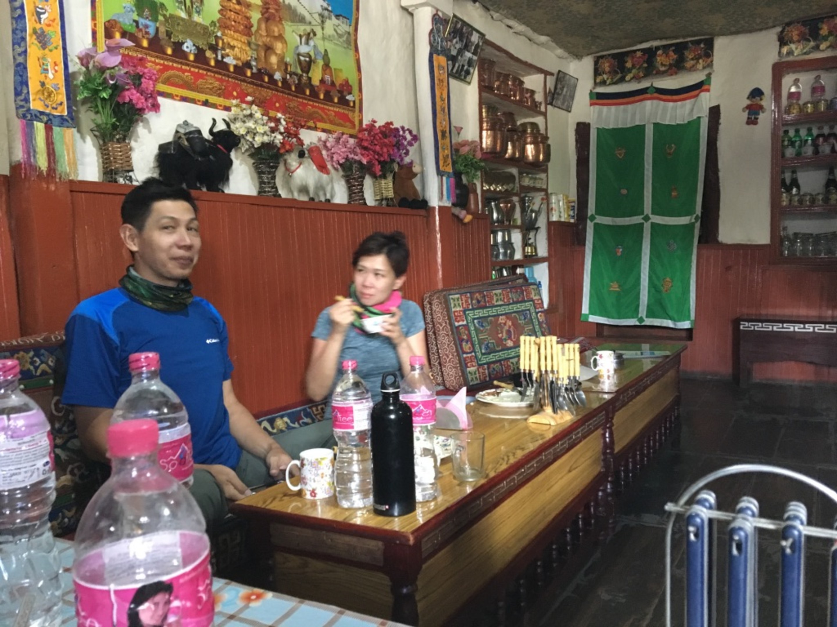
We were all really looking forward to lunch. As lunch usually takes about 30mins from ordering to arrive, I took a most needed nap. :) Not too sure what those two were up to but its a funny picture. :D
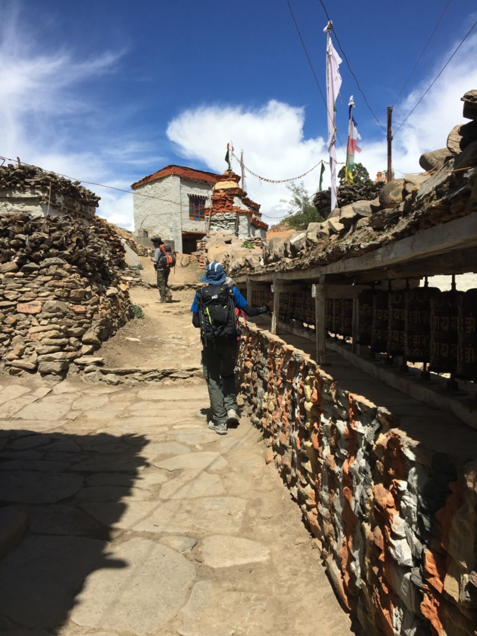
The ubiquitous prayer wheels as we left our lunch stop. For some reason, this village had a structural village entrance on the north side where it descends sharply to a river. You can see its a pretty nice view from the village entrance. You also see the trail we have to go back up on, on the other side of the river. Welcome to Nepali flat.
Can she make it??? :)
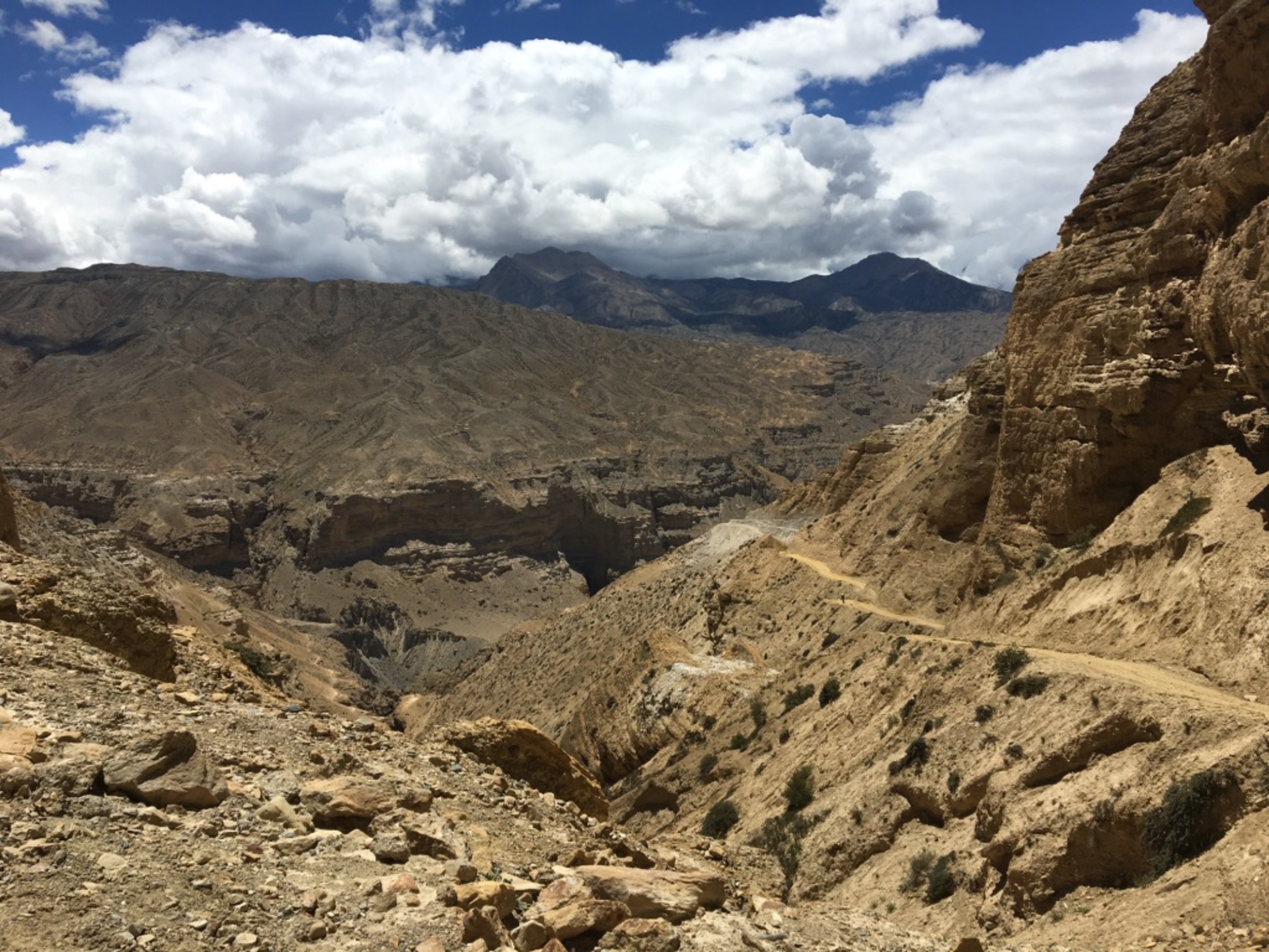
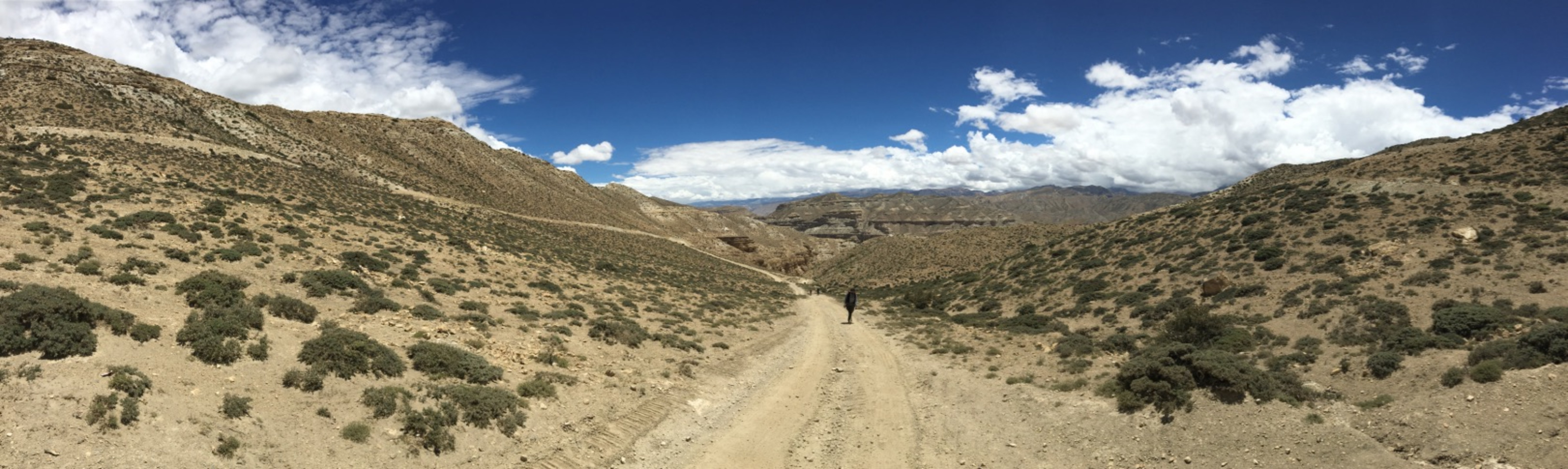
Scenic shots, the first photo with iphone, the remaining three with Nikon D7100. For comparision of the picture qualify from two sources.
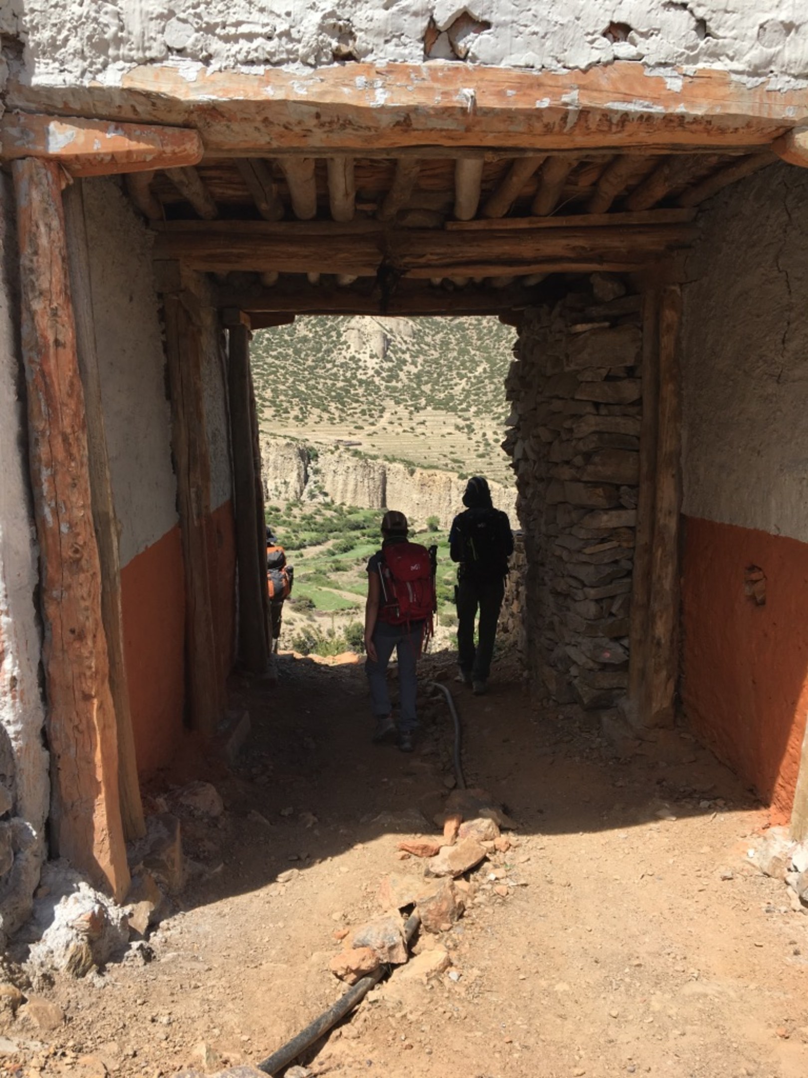
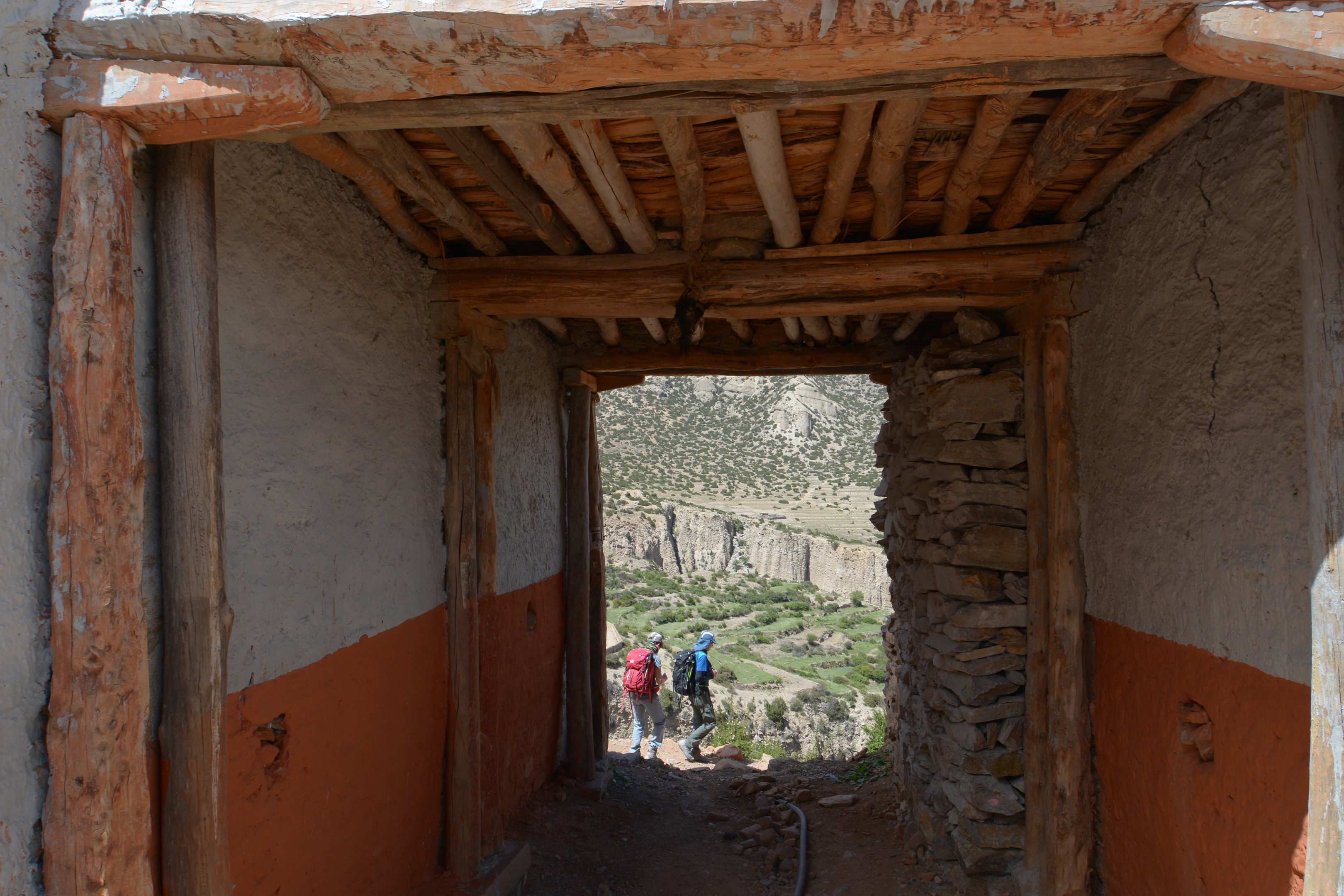
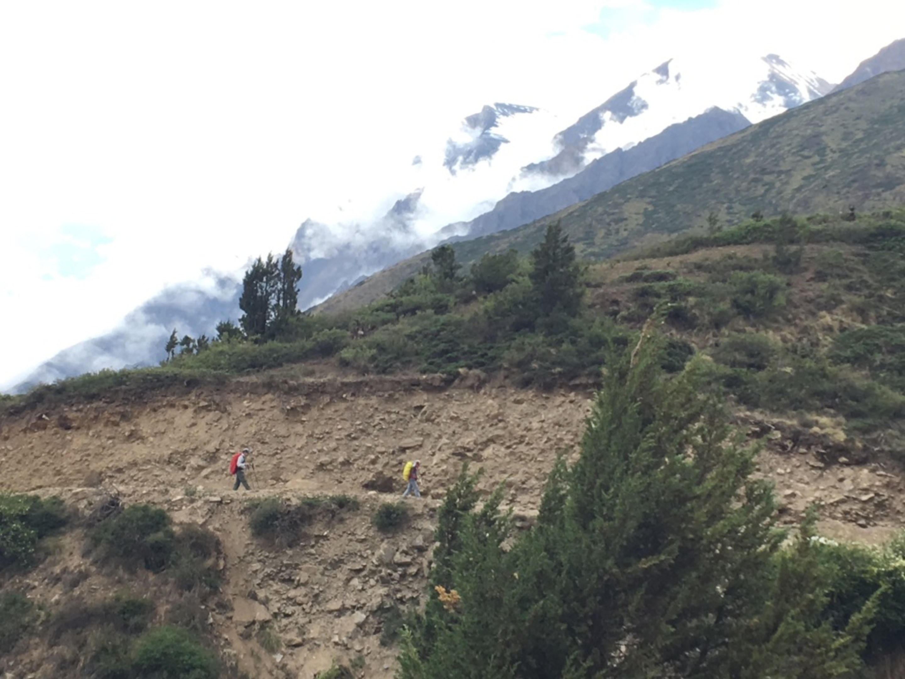
Another pretty stupa on the trail. The trail continues on a generally upward and we come to another steep climb. Frequent stops were needed to catch our breath back.
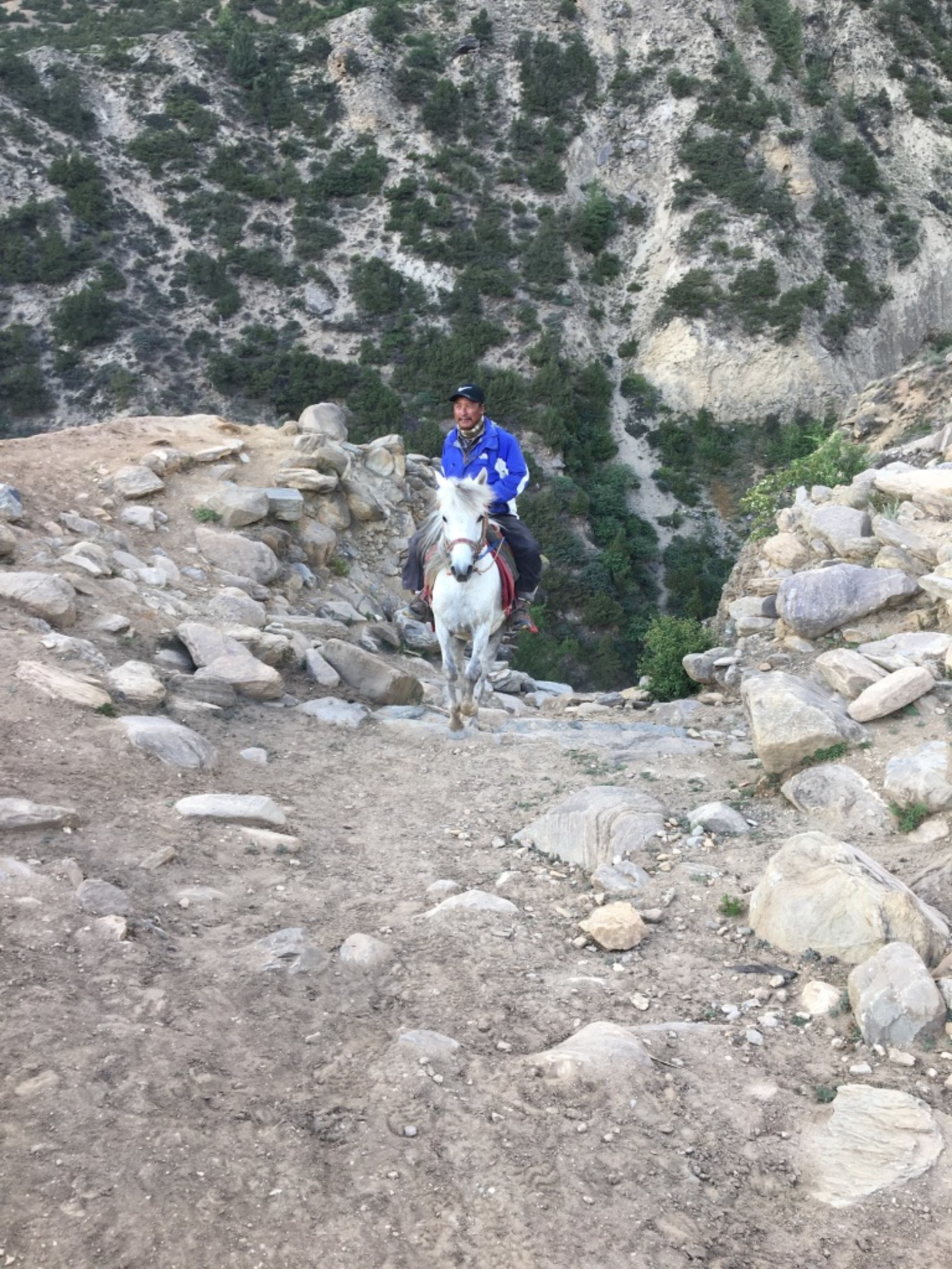
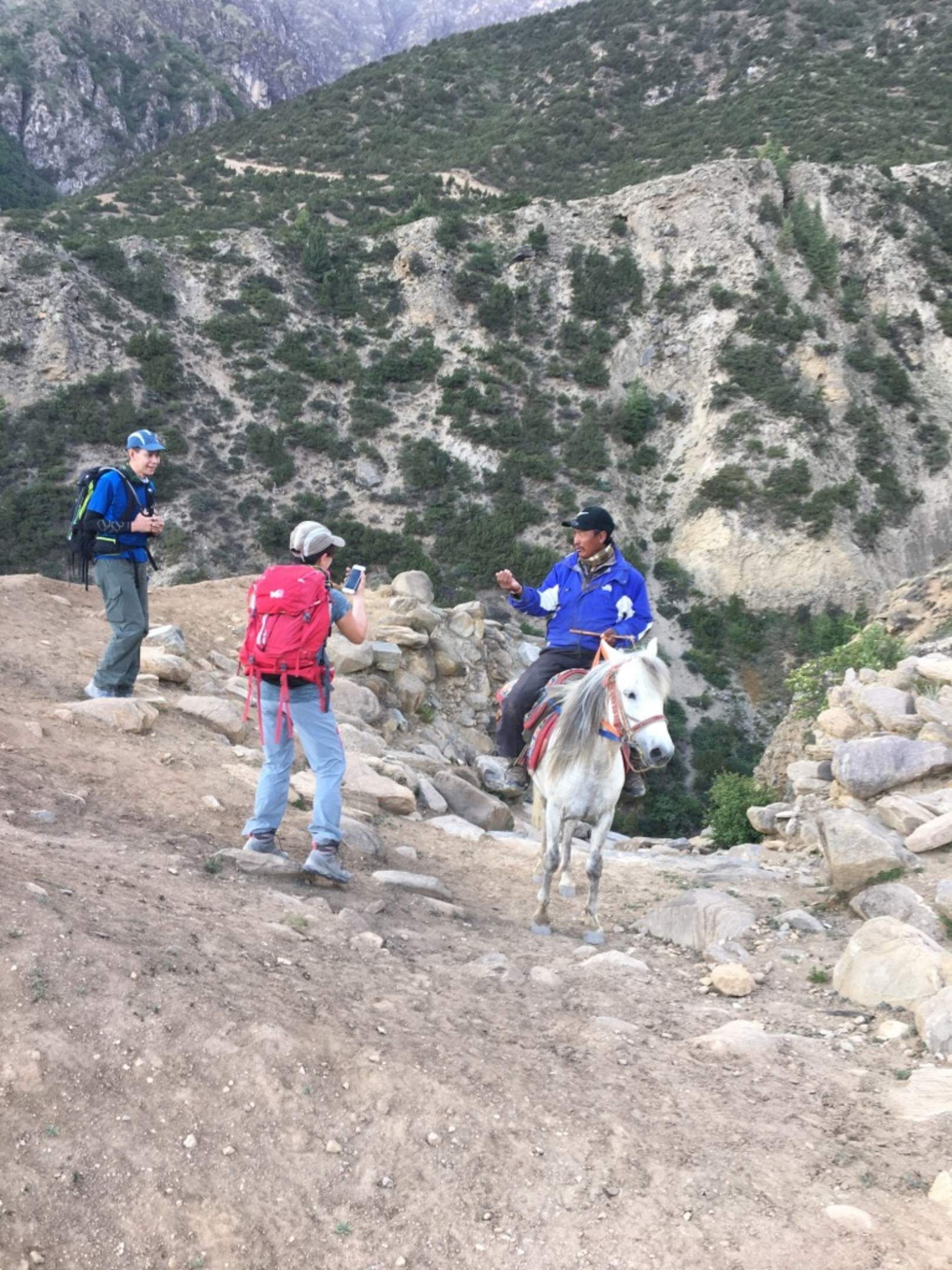
Did someone order UberHorse??? :) This Tibetan came up behind us on his horse. You can see how rocky and steep in the previous two photos and the horse carried the man up this.
I am missing photos from this point of the trek onwards as it started raining as we hit another steep long uphill section. It was not the most comfortable time as it got quite windy and cold as well. I pretty much put all electronics away and just trekked steadily. We were stringed out along the trail and I don't think any of us were in the mood to document the journey. Think everyone was in their own bubble wishing for the day to end.
Addendum correction. I did find some photos of this part. Guess its better not to do this at 3am... So I think we crested two passes before reaching Syangmochen.
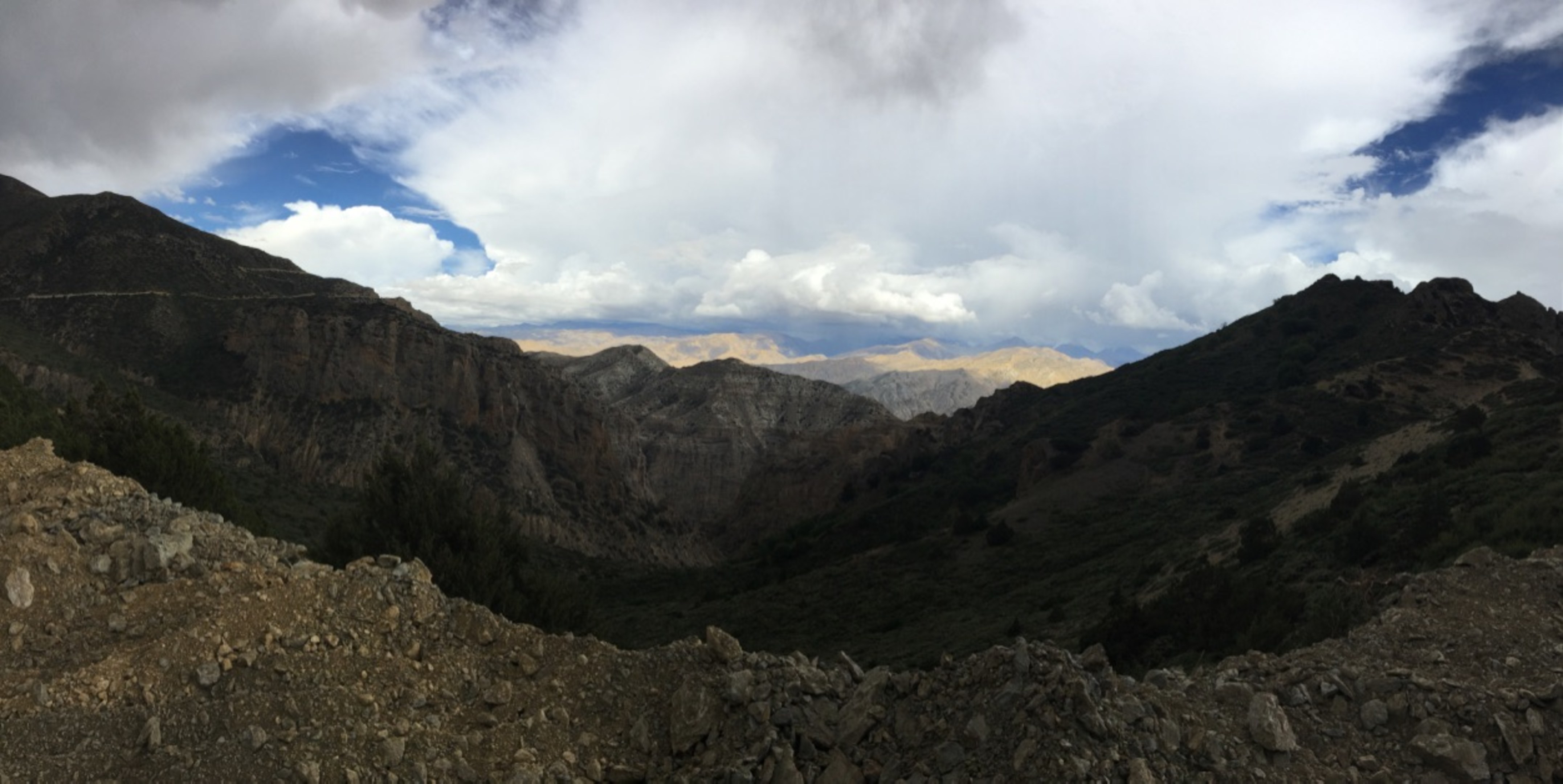
Approaching a pass after a long steep climb where it rained on the way up. By now, I was way ahead of my fellow trekkers which was feeling the effects of high alttitude and dehydration. I was fortunately feeling ok except for the aches in my legs and back.
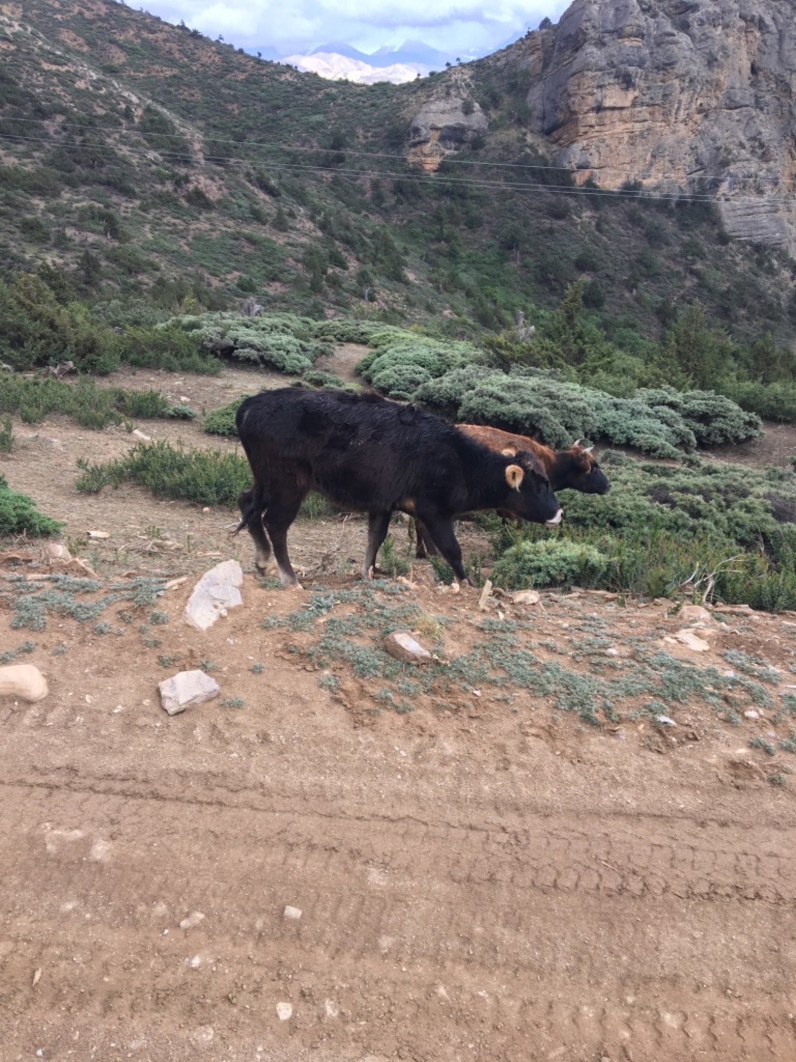
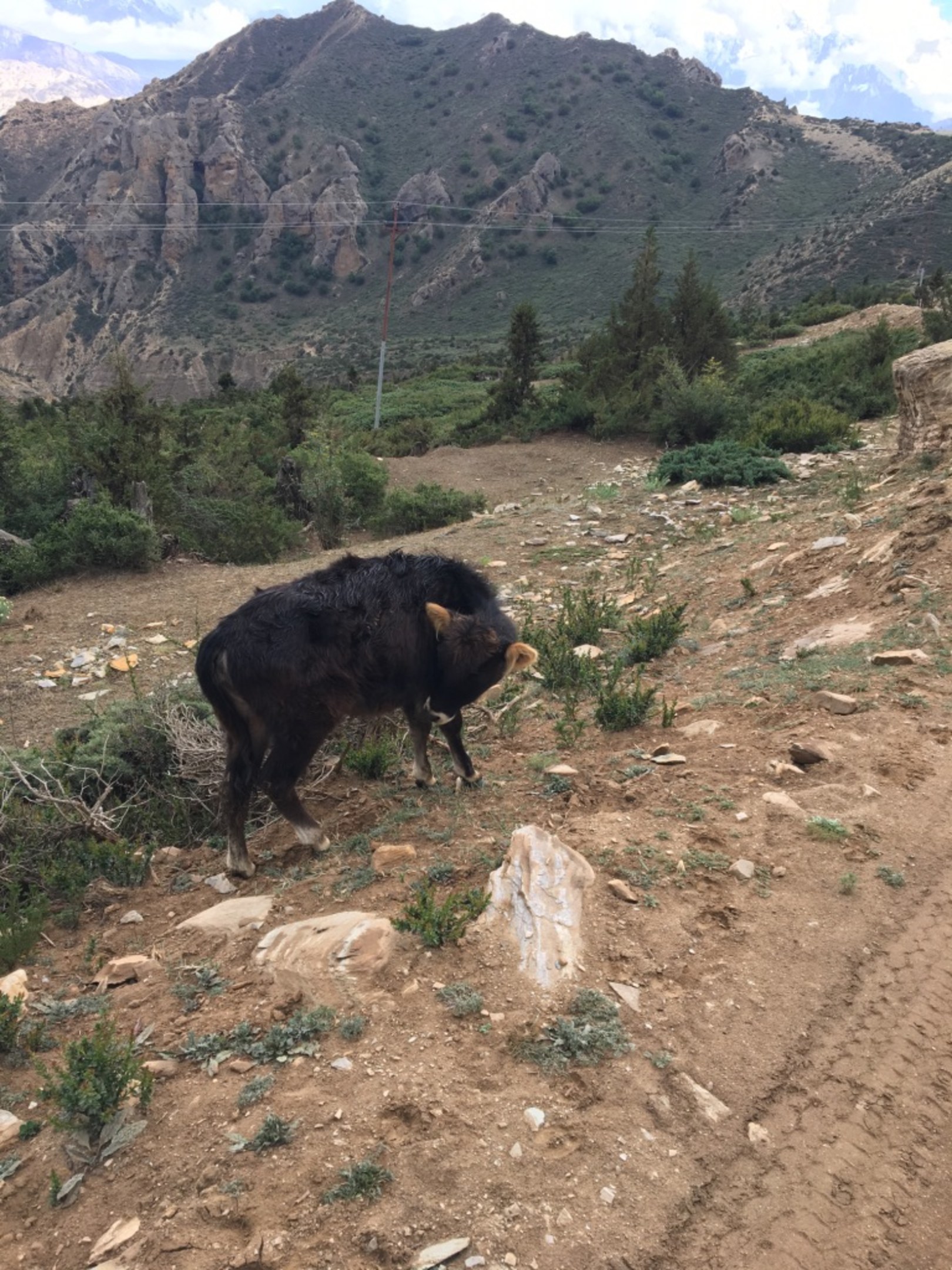
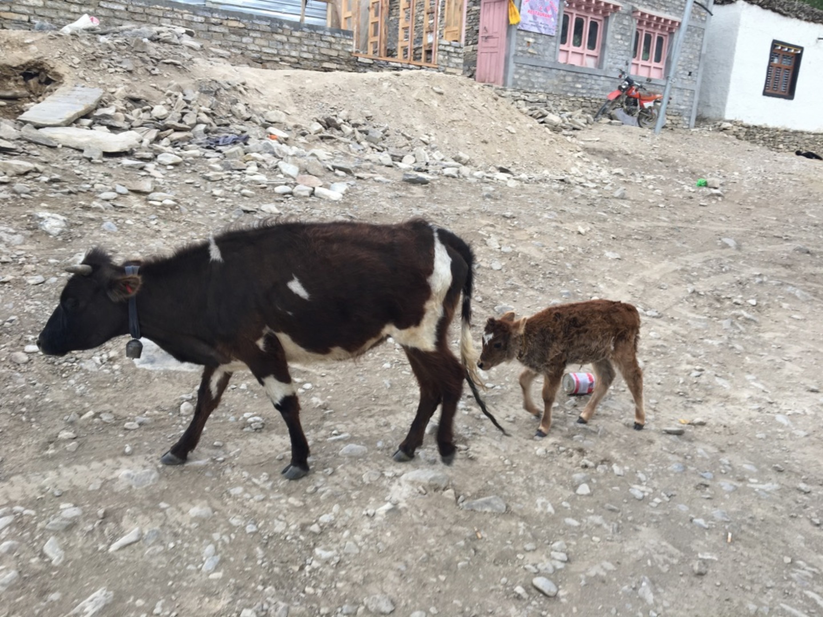
We went by a small herd of cows where this little guy had strangely colored ears. I just had to take a photo of that. :)
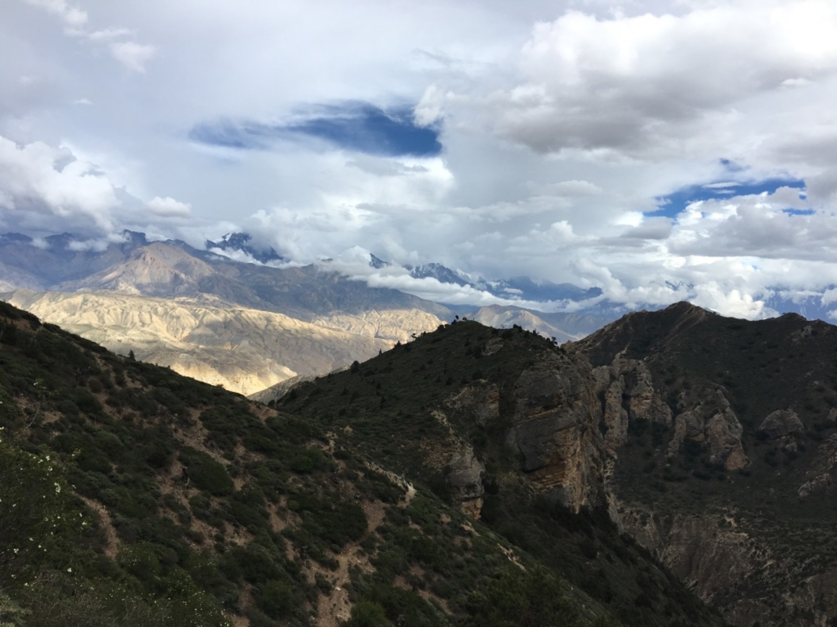
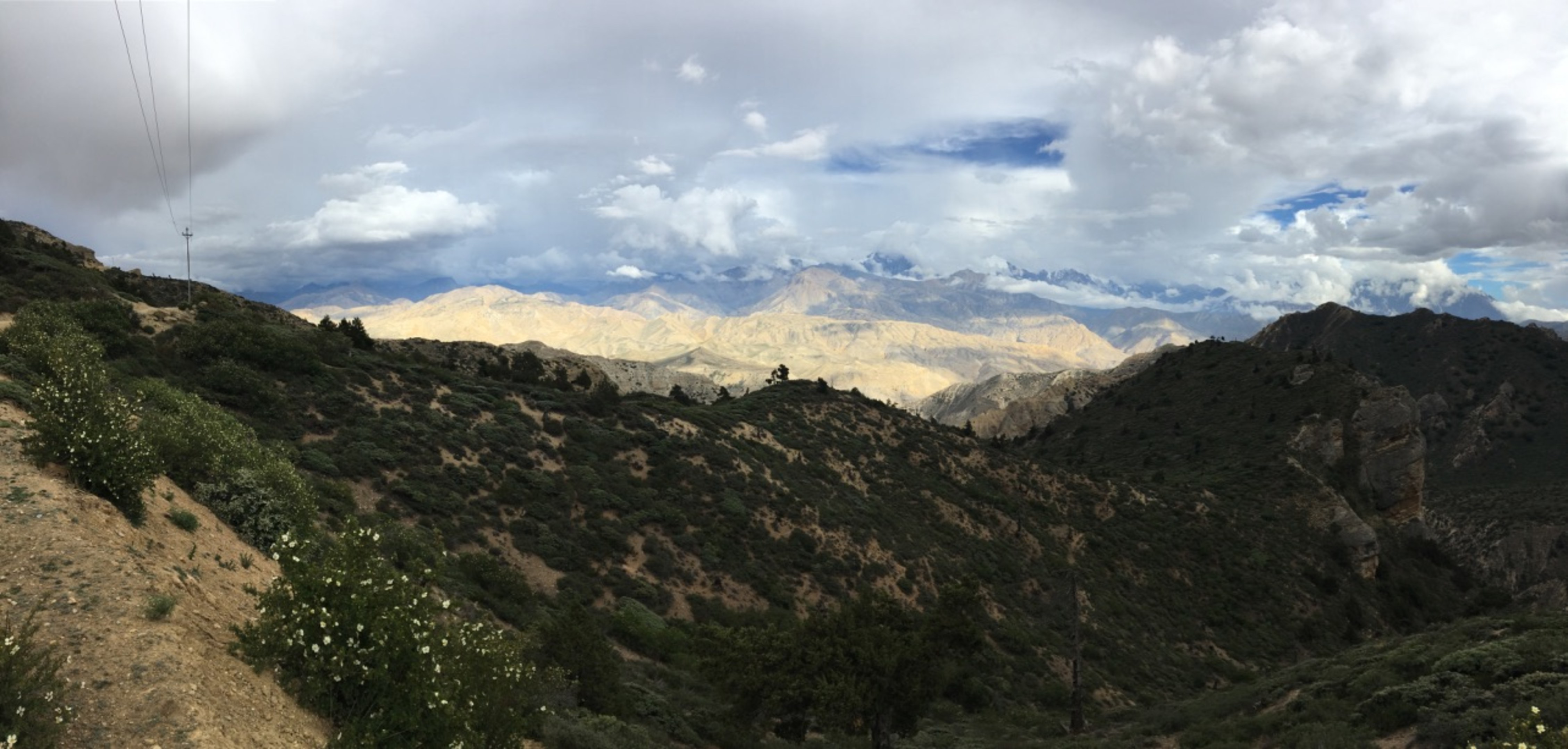
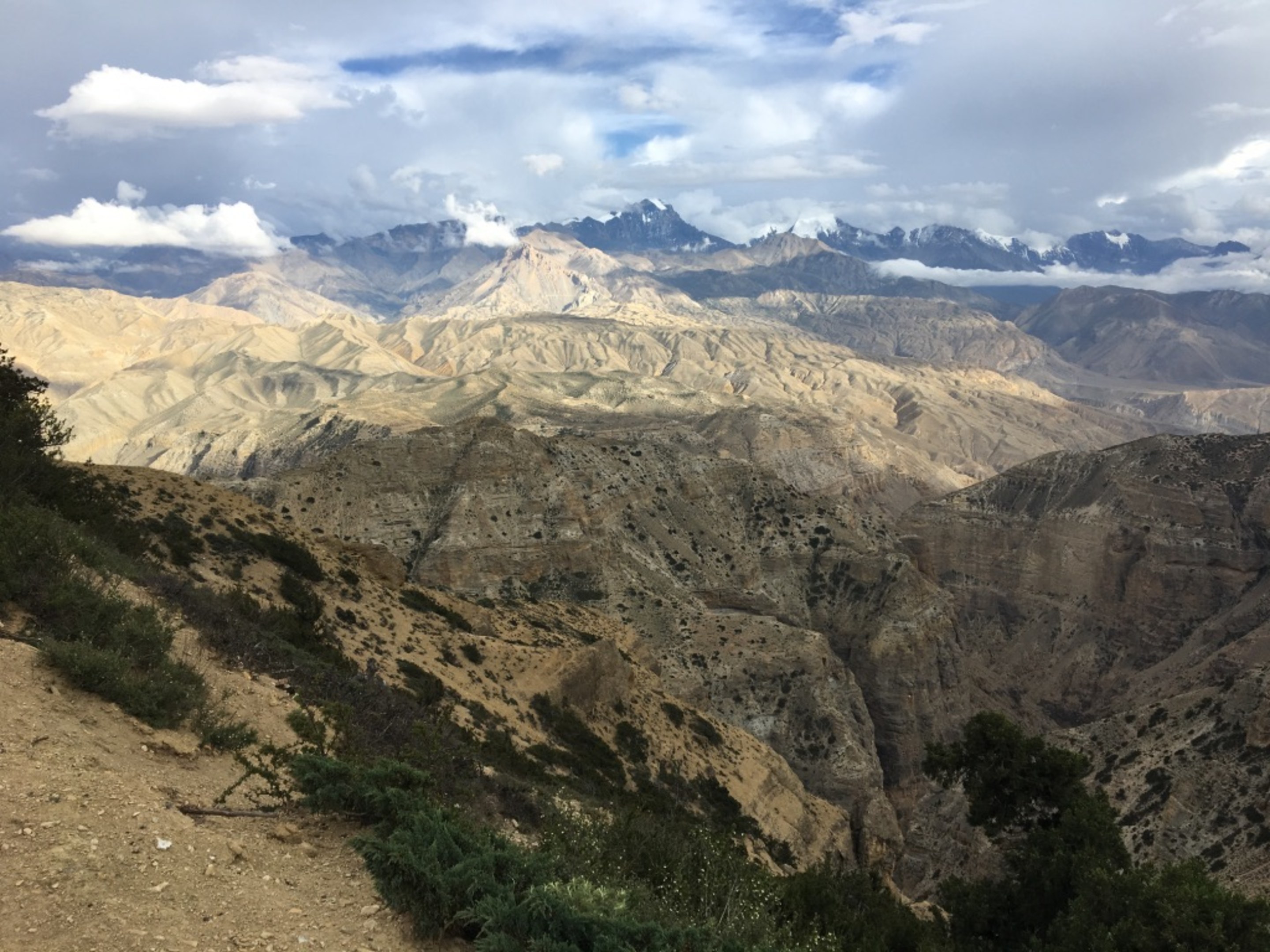
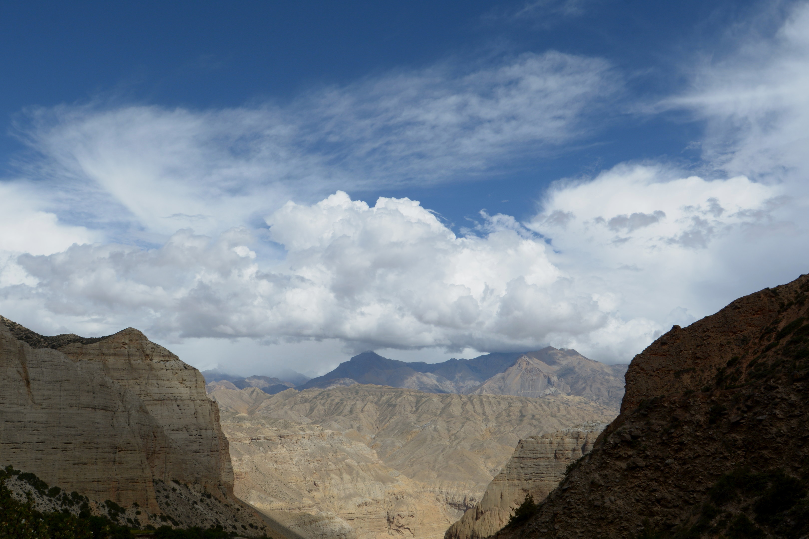
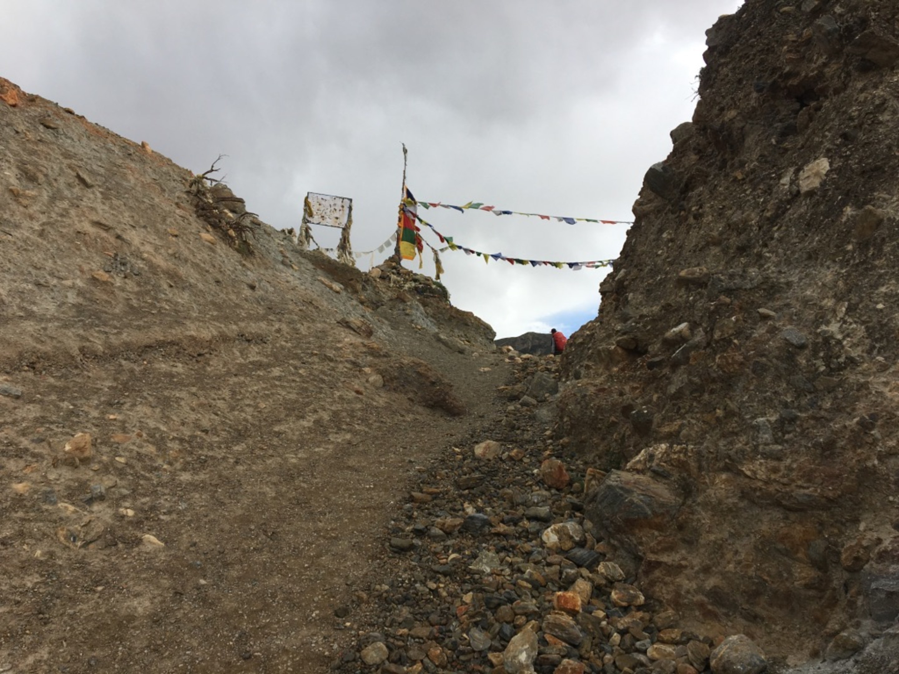
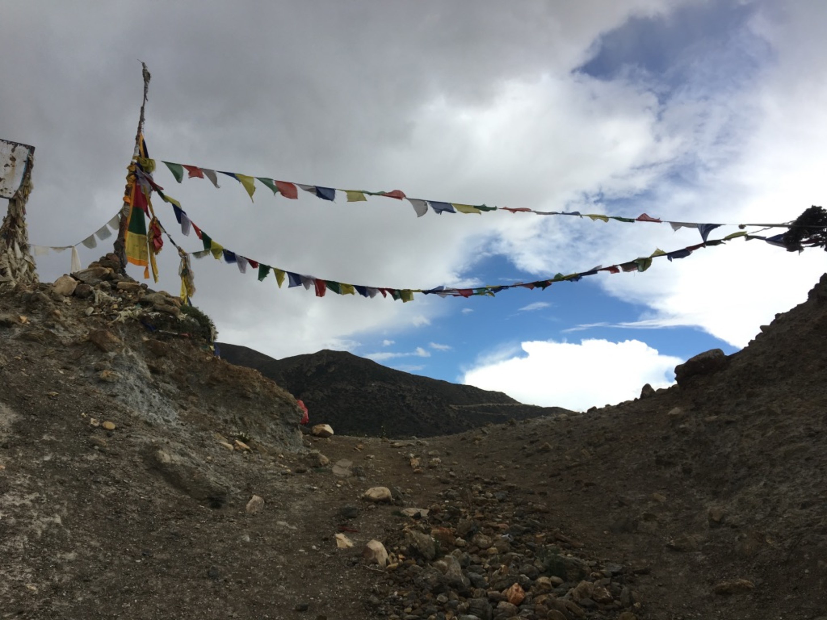
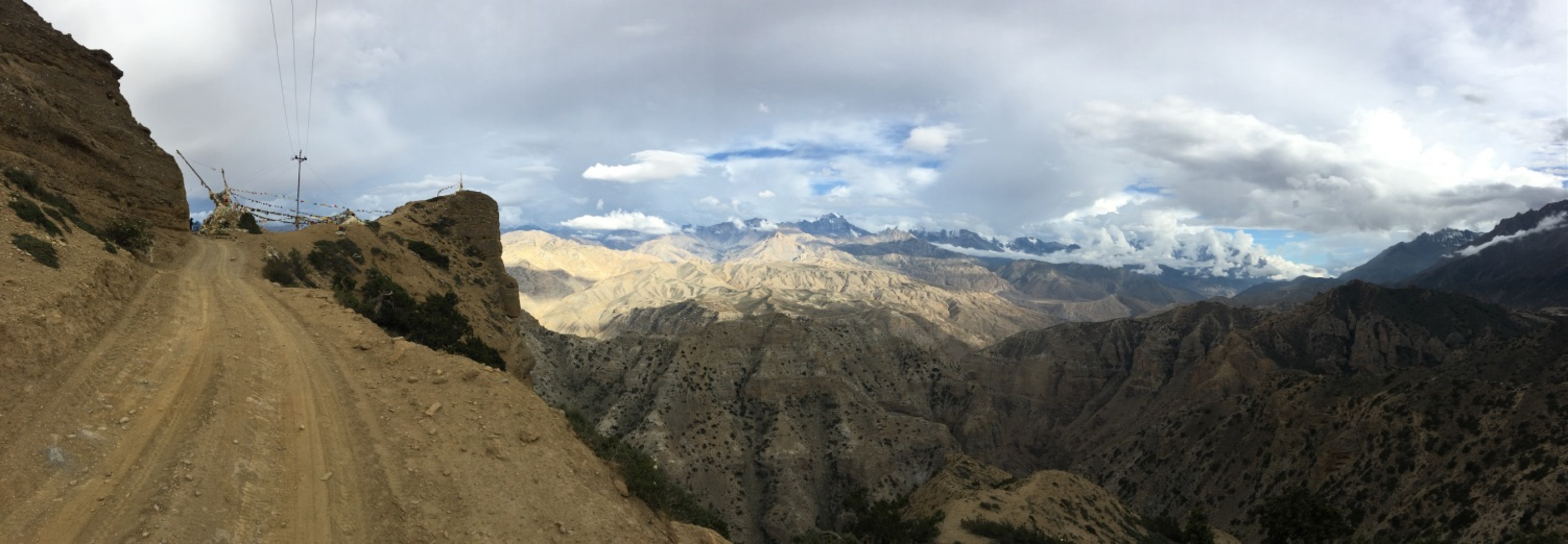
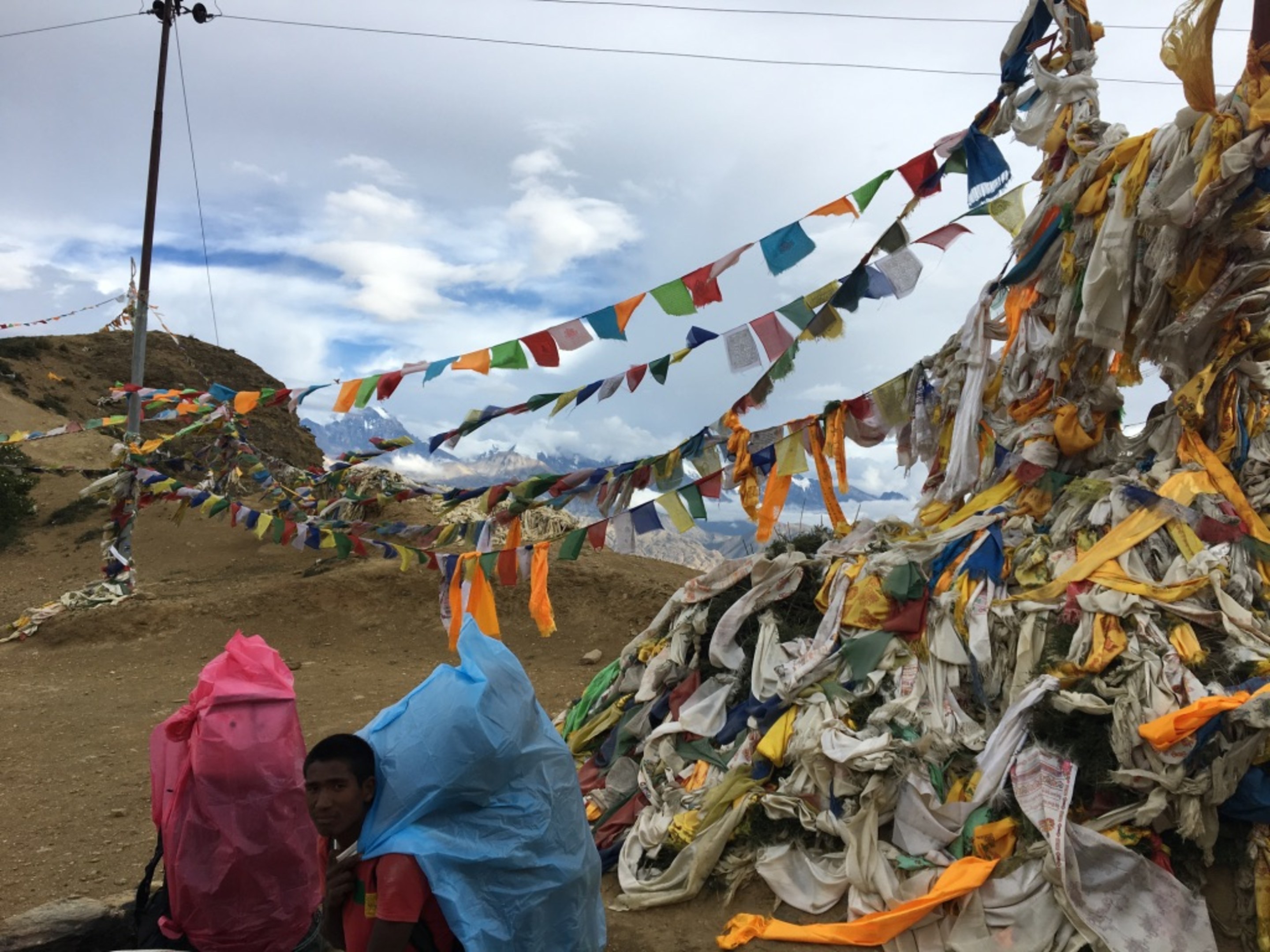
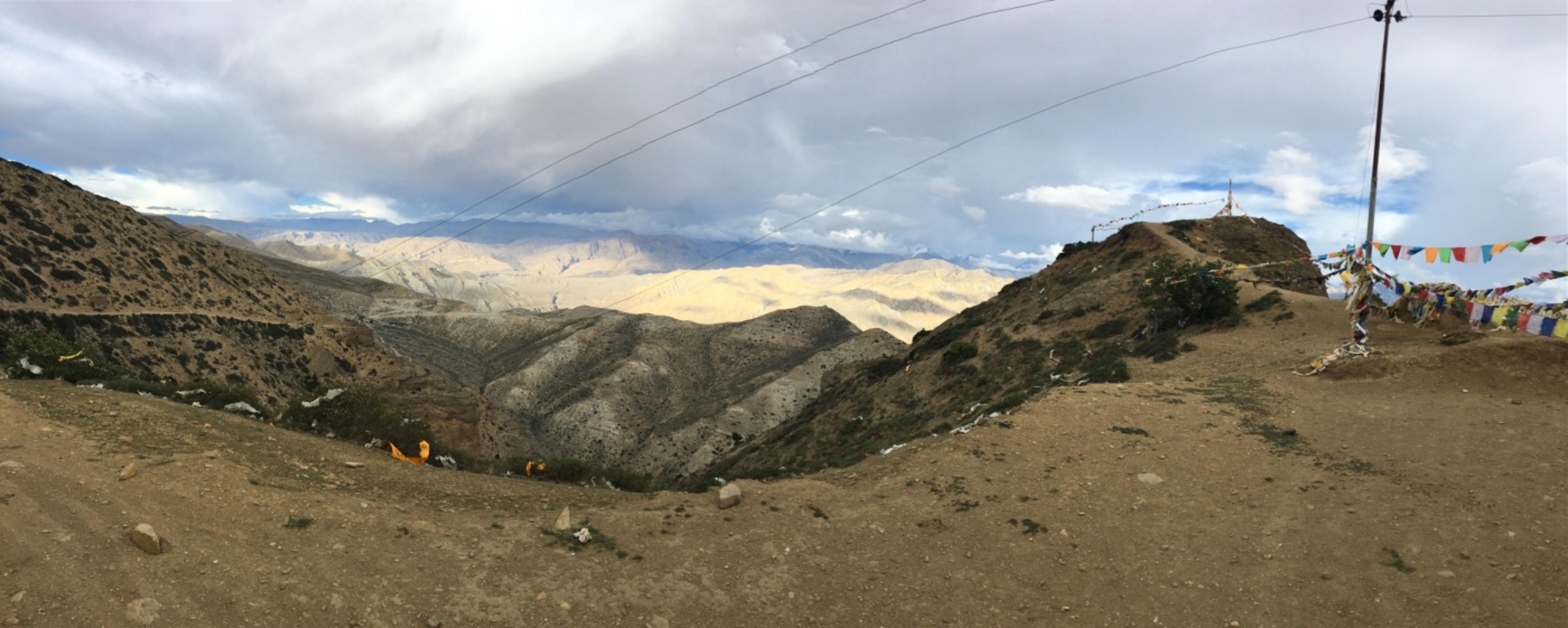
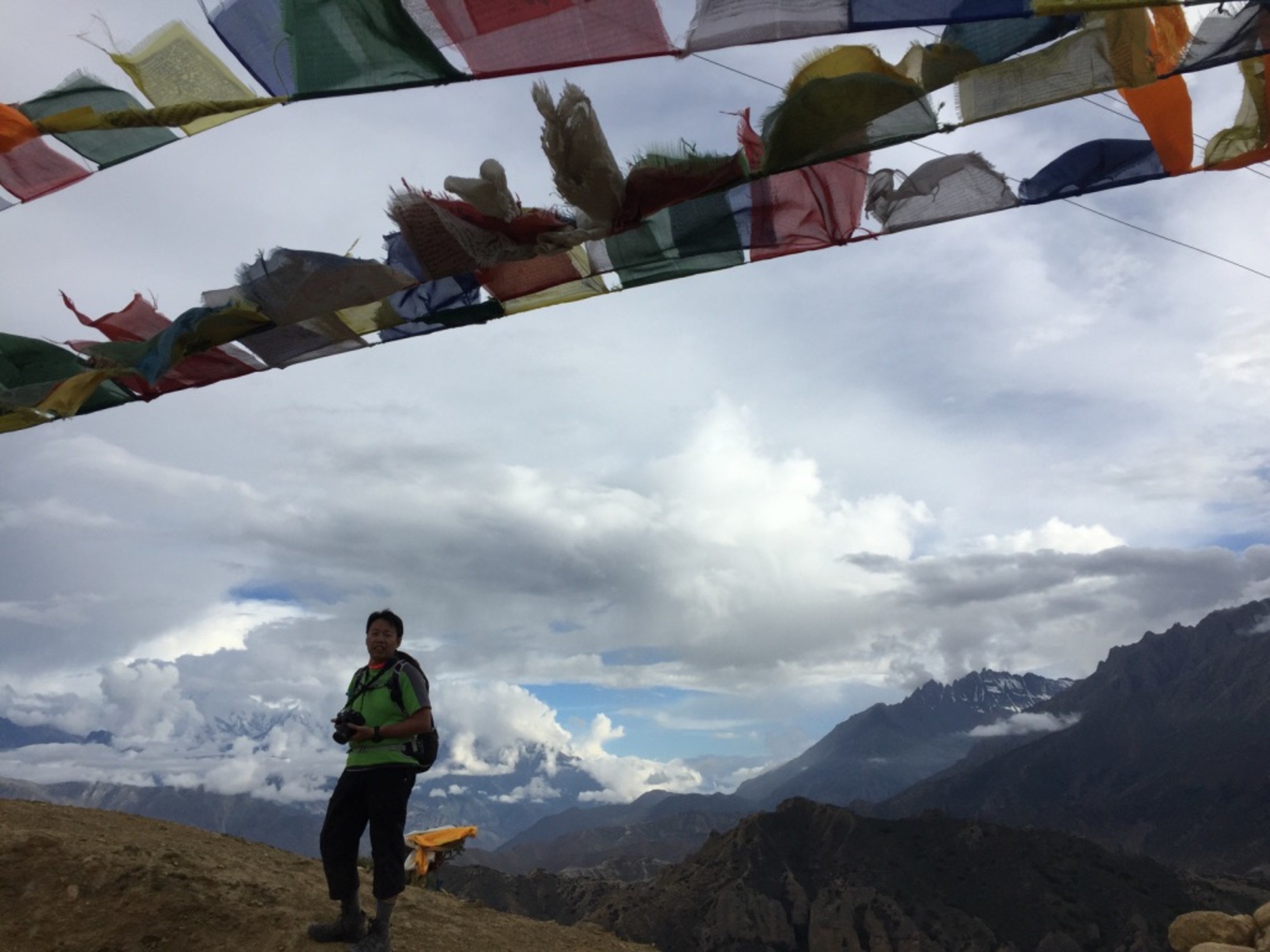
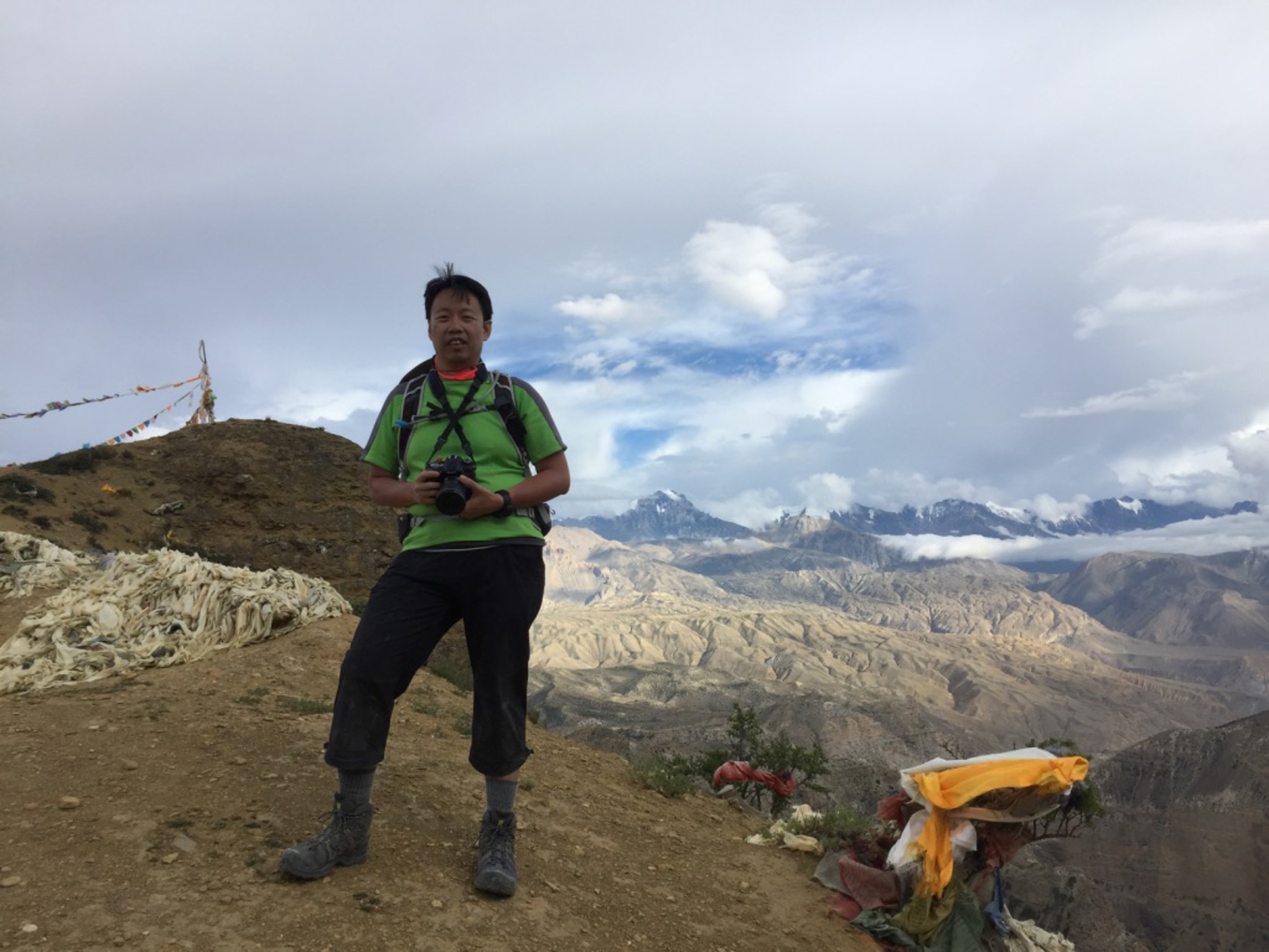
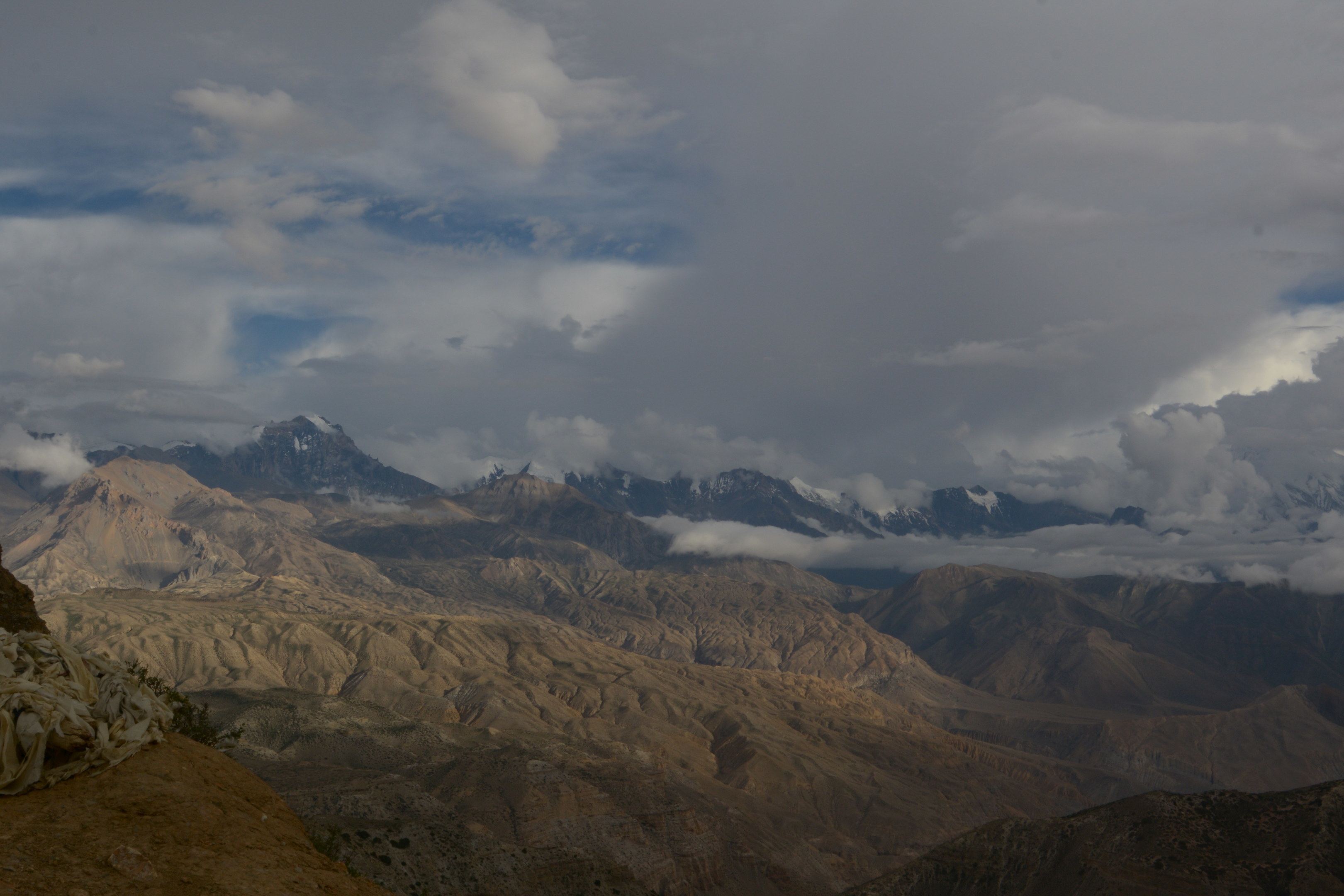
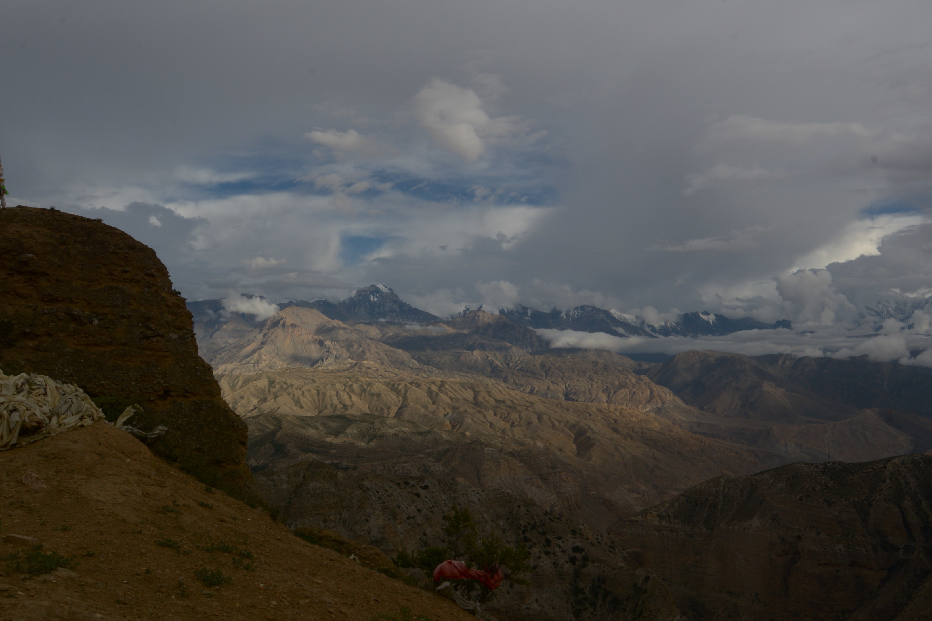
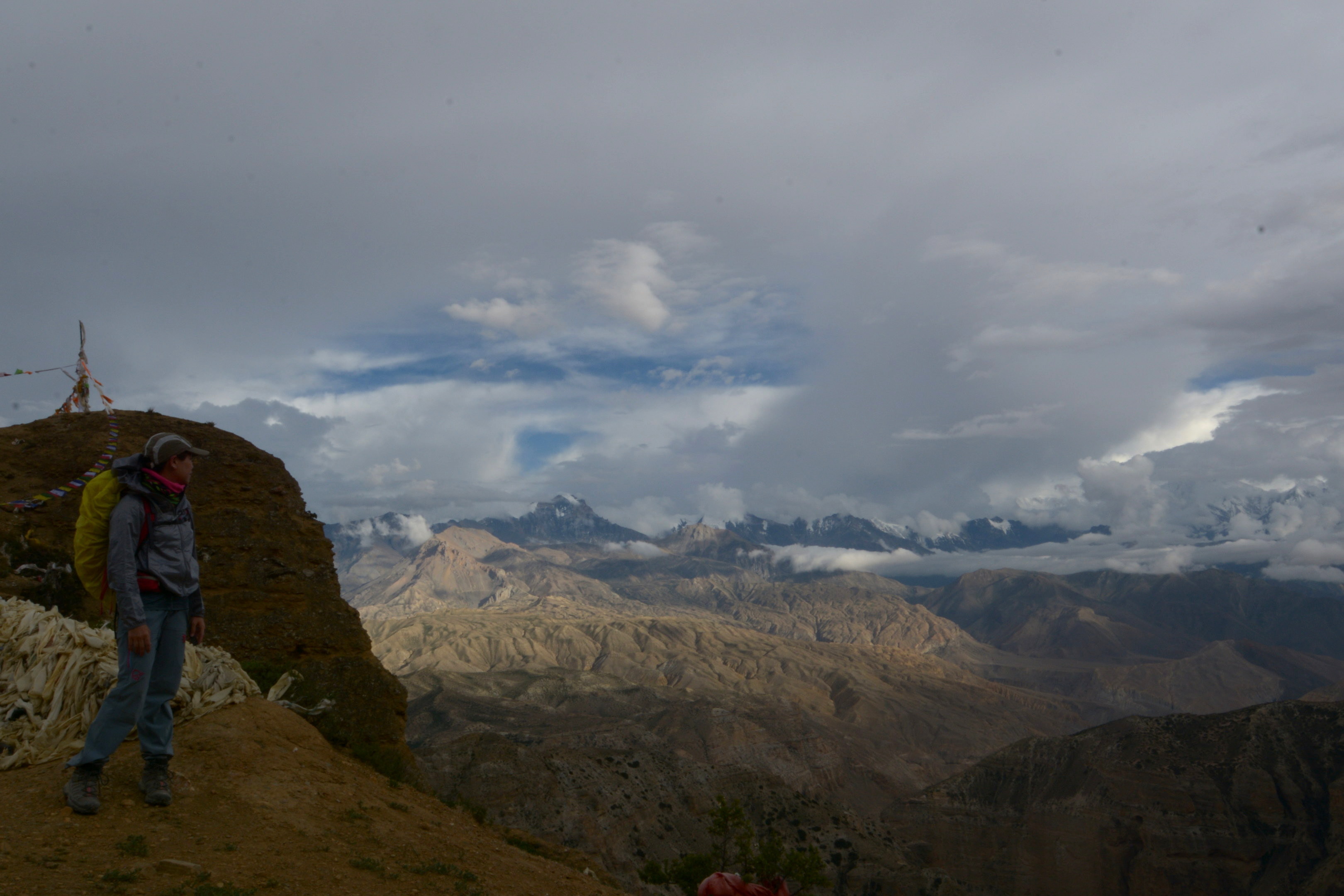
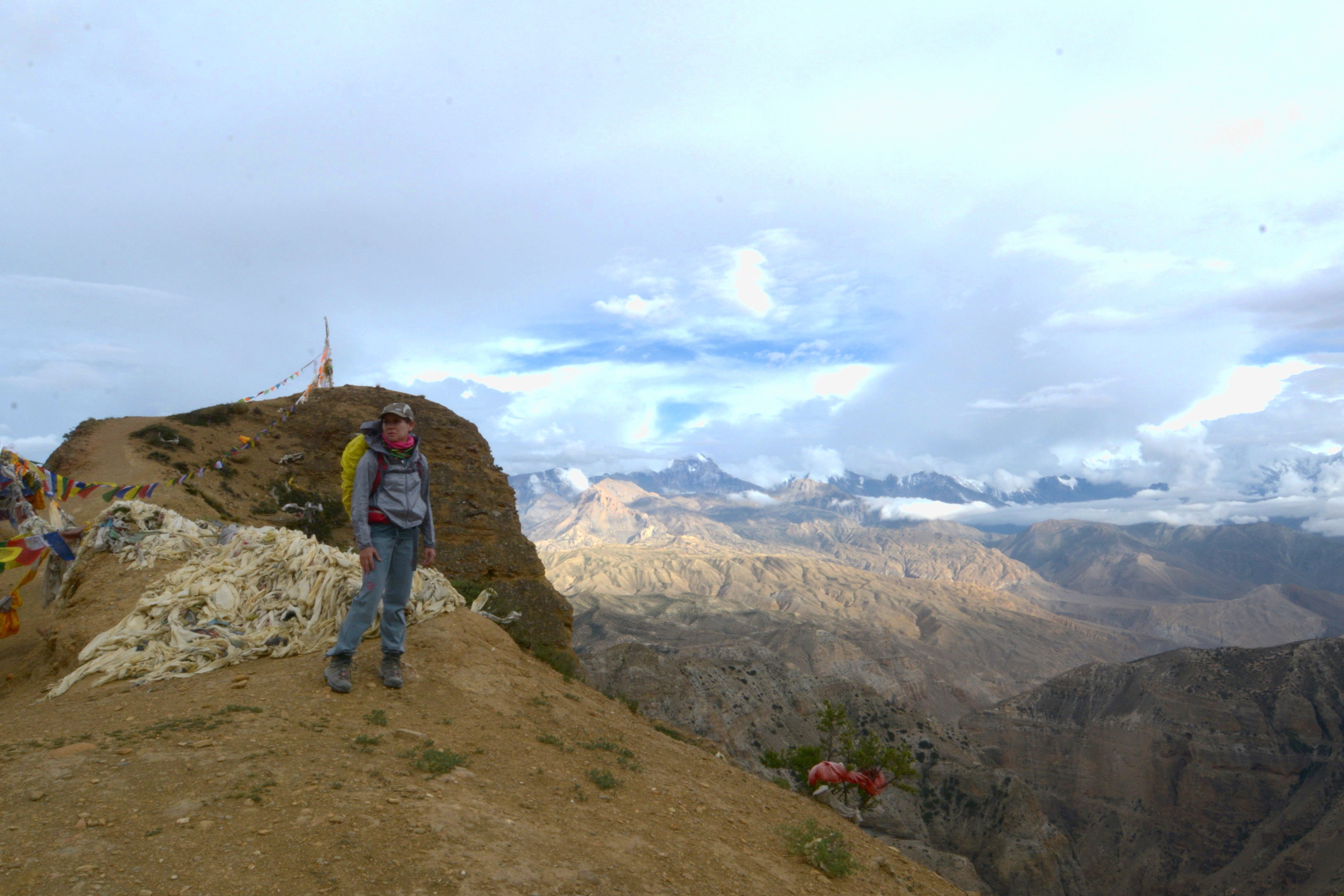
Approaching the final pass of the day at around 4000m. A while back, we already came to the decision to head for Syangmochen,an hour away instead of Geiling, our original destination, which is another 2-3hours furthur on. It was getting dark and we were all very very tired. We spent some time here at the pass, recovering and enjoying the view.
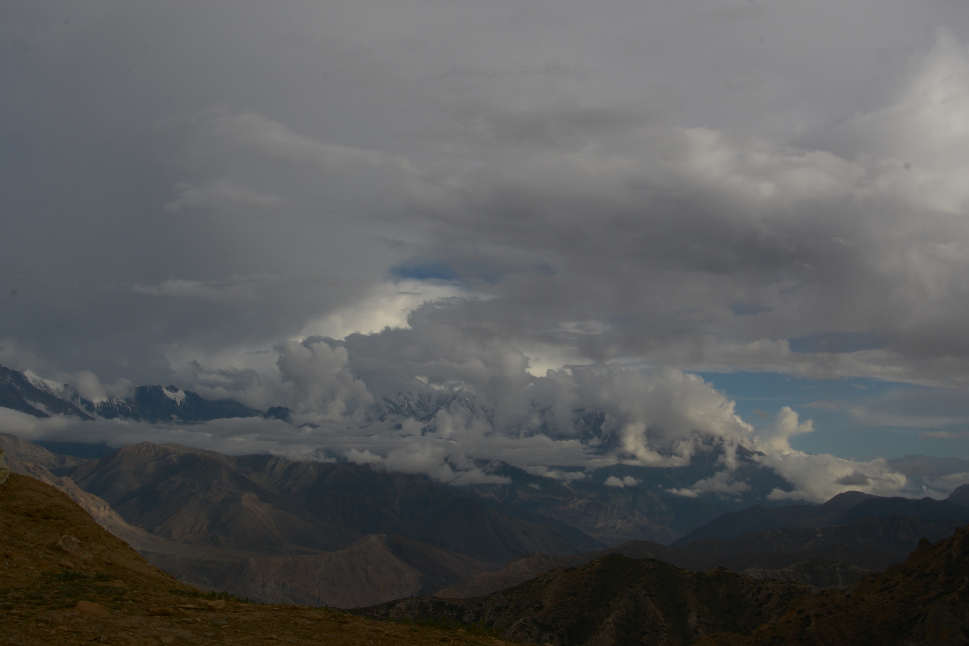
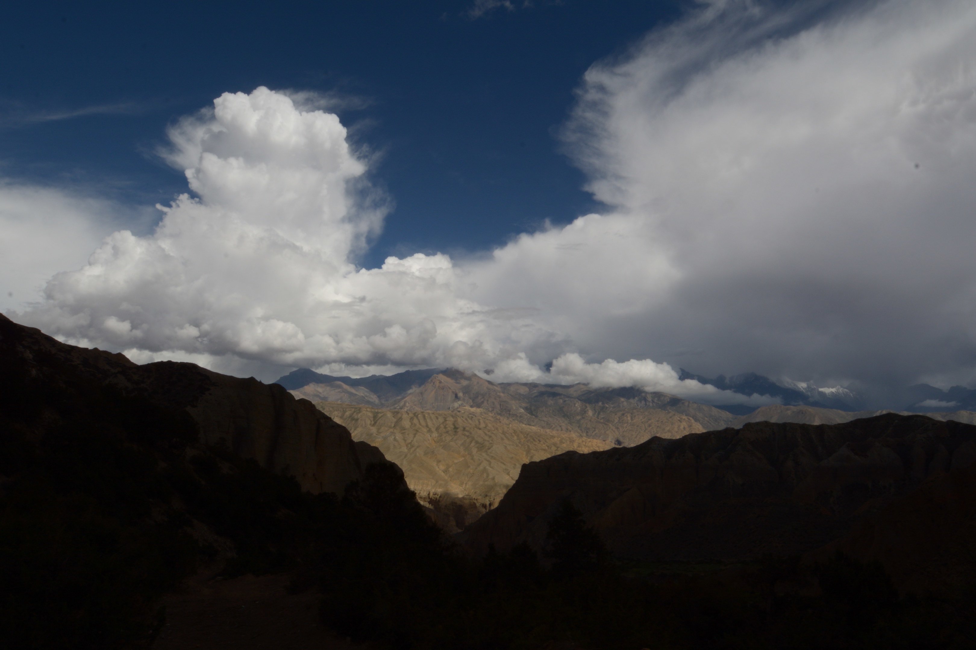
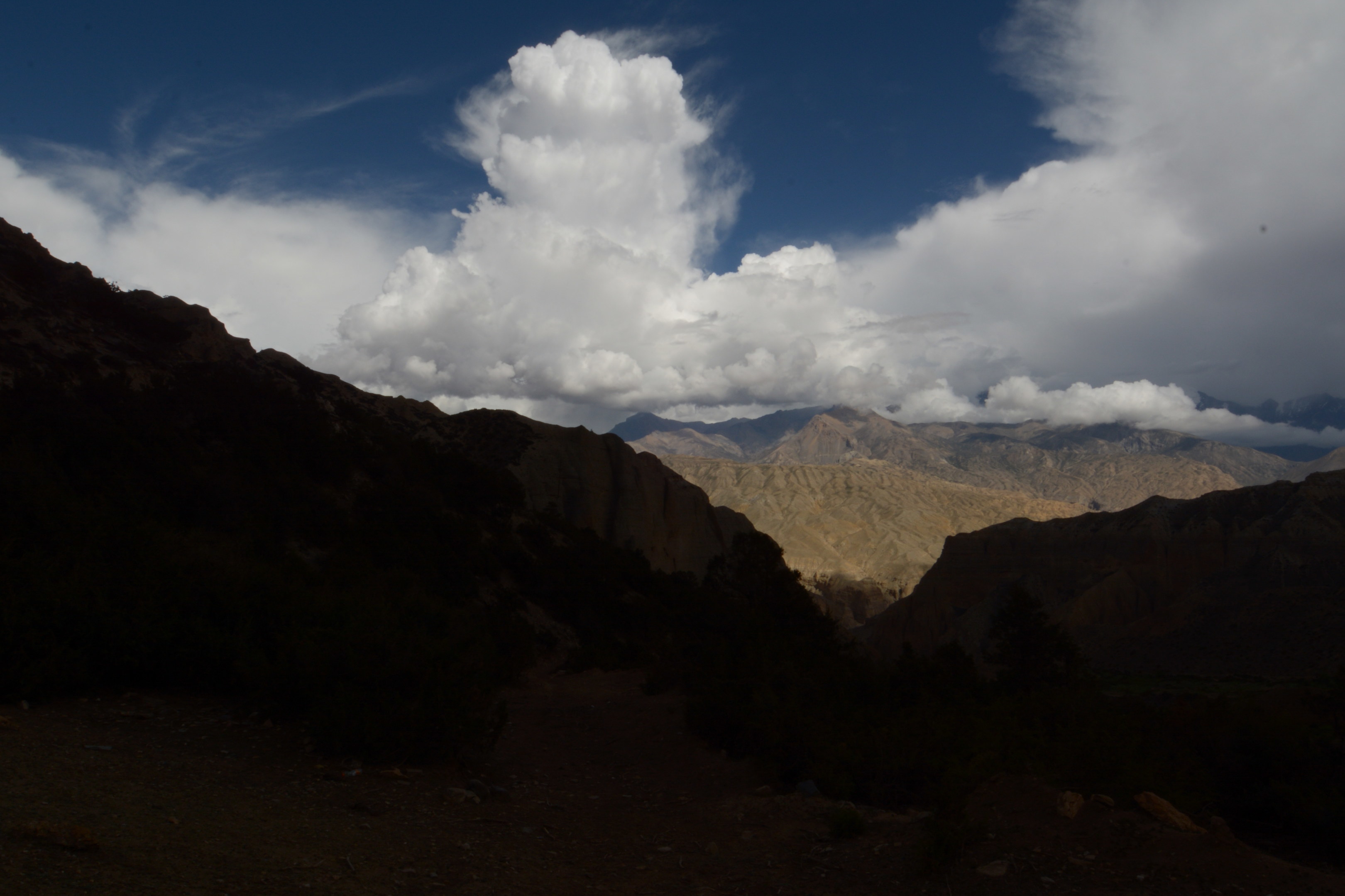
I call this little cloud the 'fei chai' cloud(cantonese for fat kid) as it was trying to get over the mountain but could not. It was just seeking every valley trying to get up and across to join its friends but failing. It was entertaining to watch(shows how tired I was). :)
You want me to do a handstand on that???
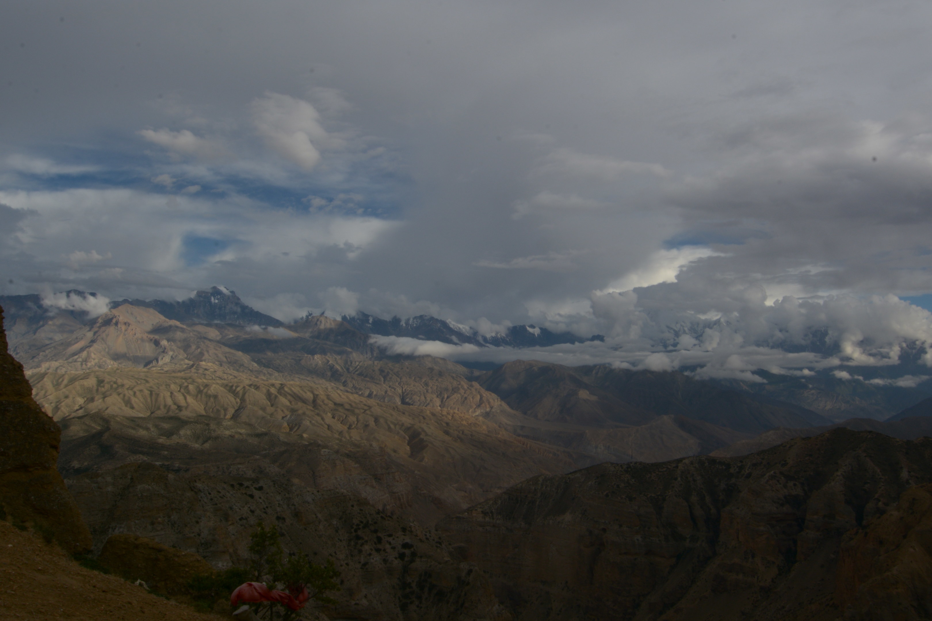
Fei chai cloud still can't get across. :D
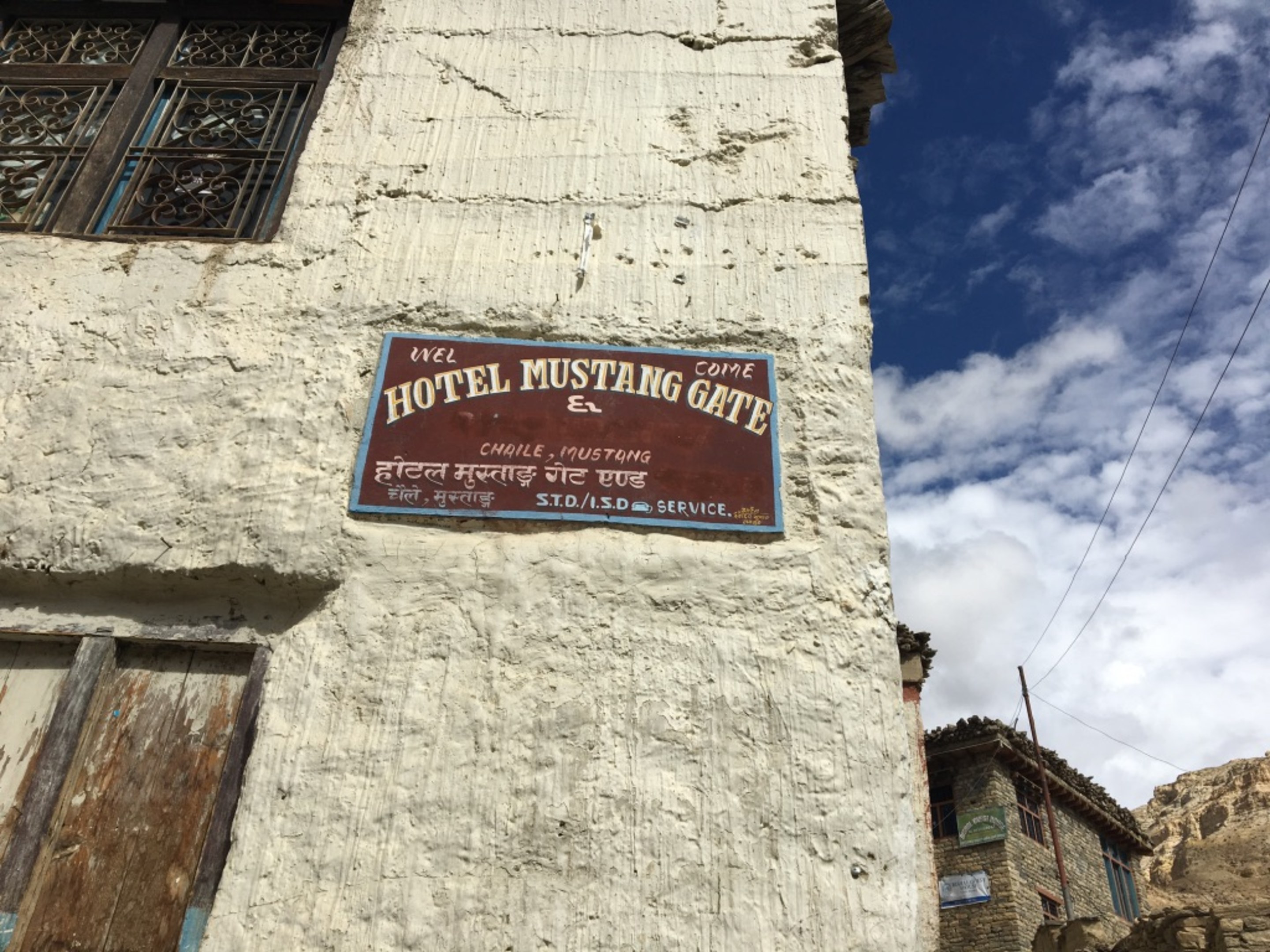
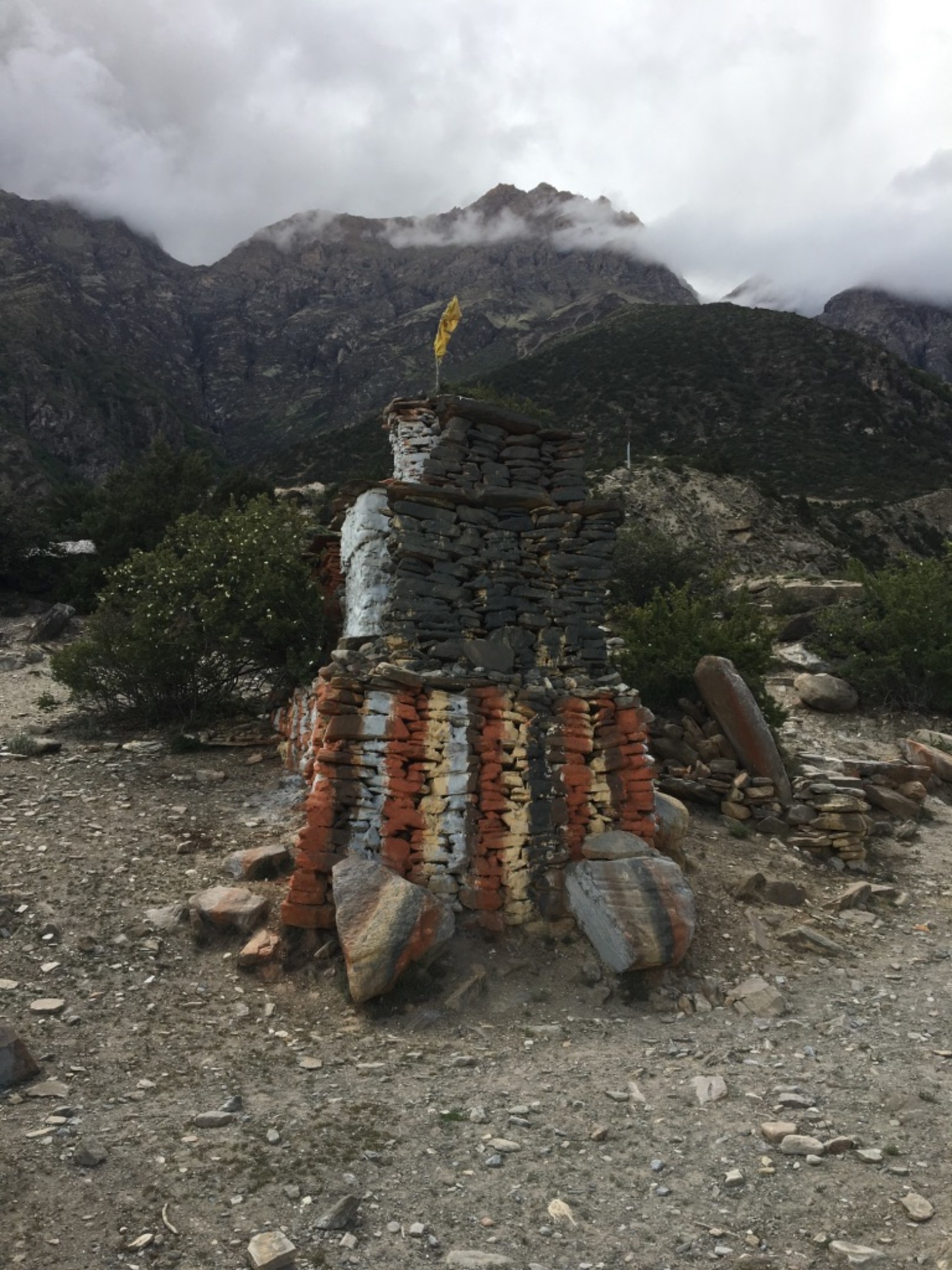
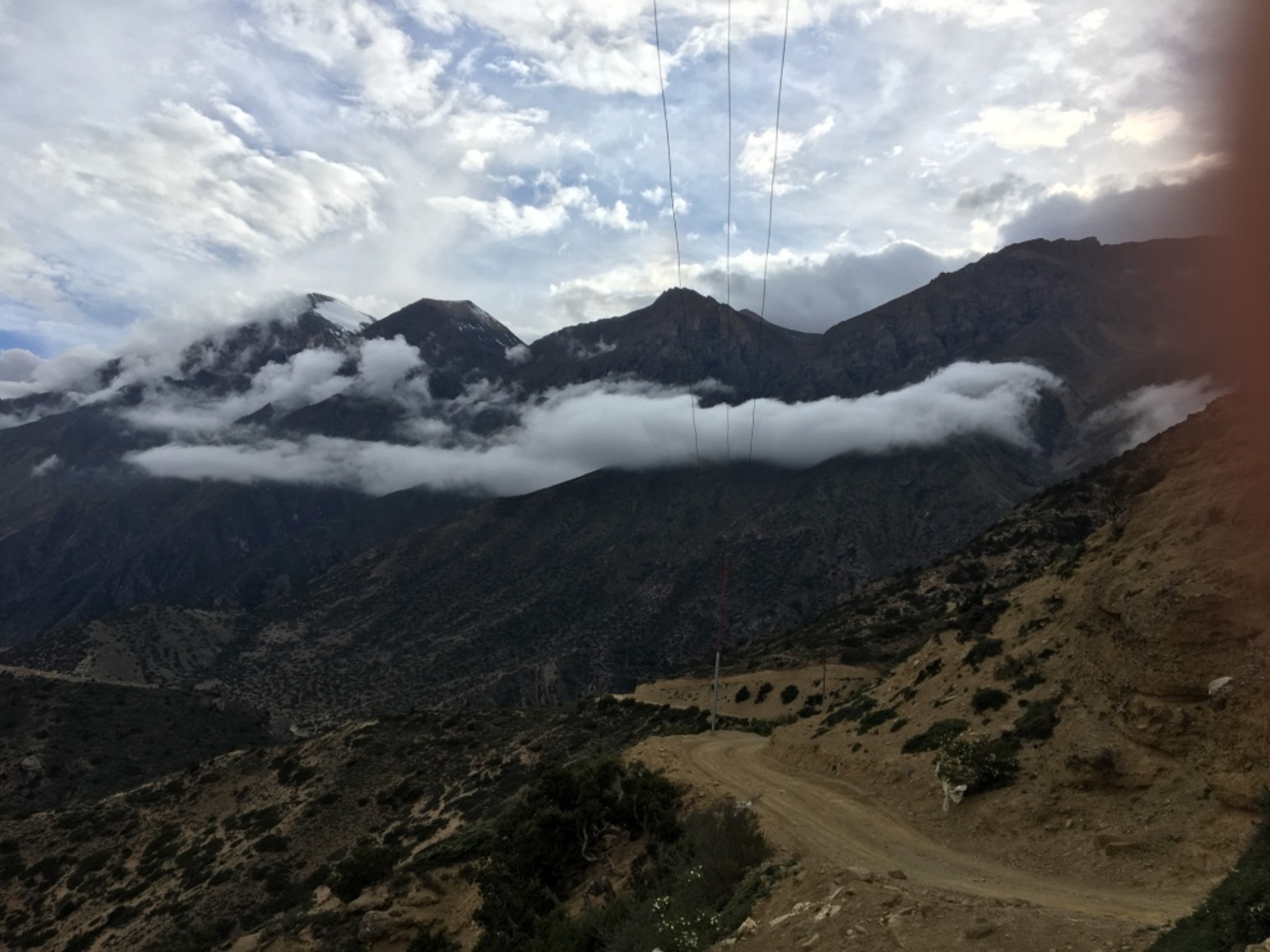
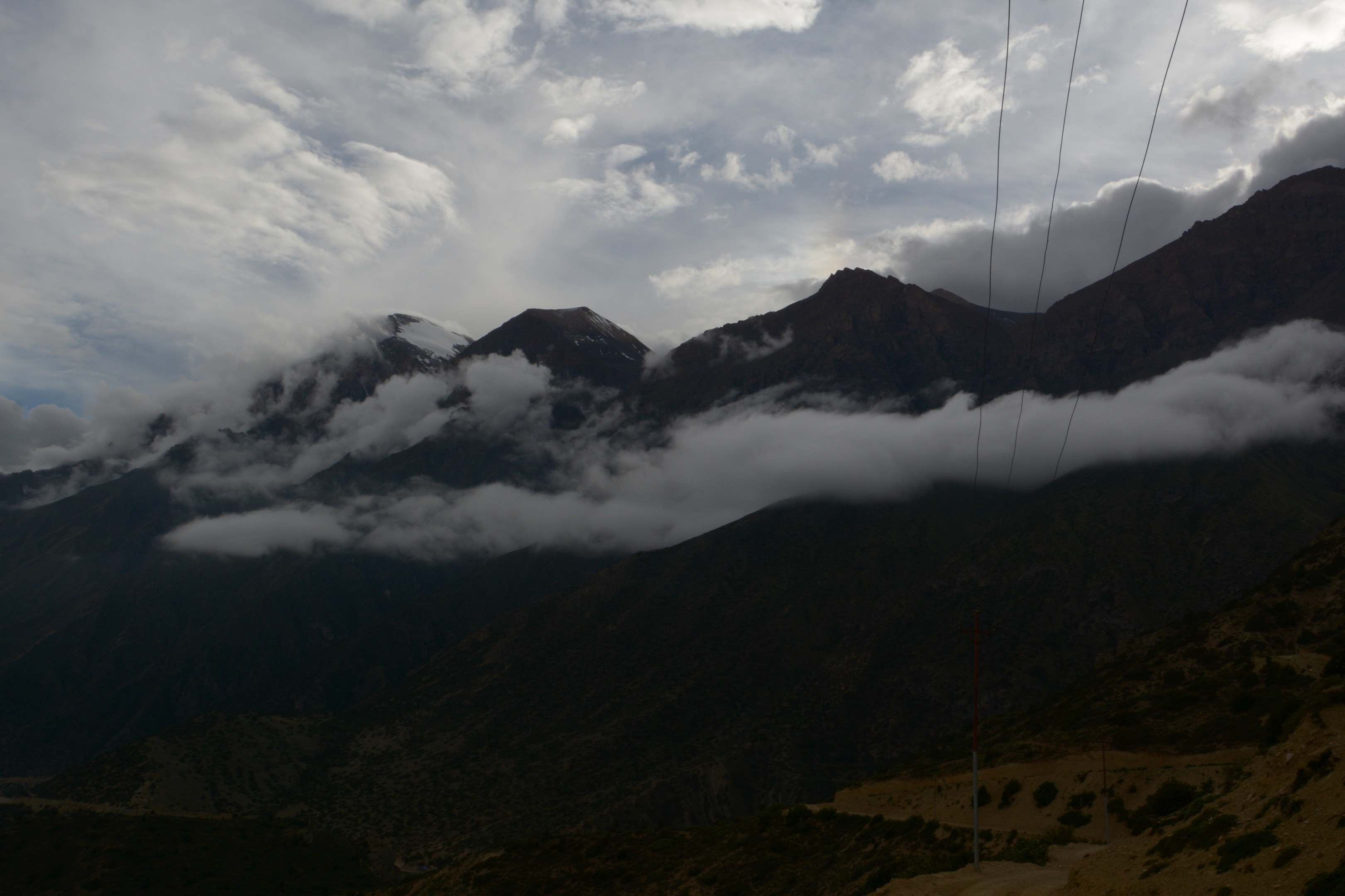
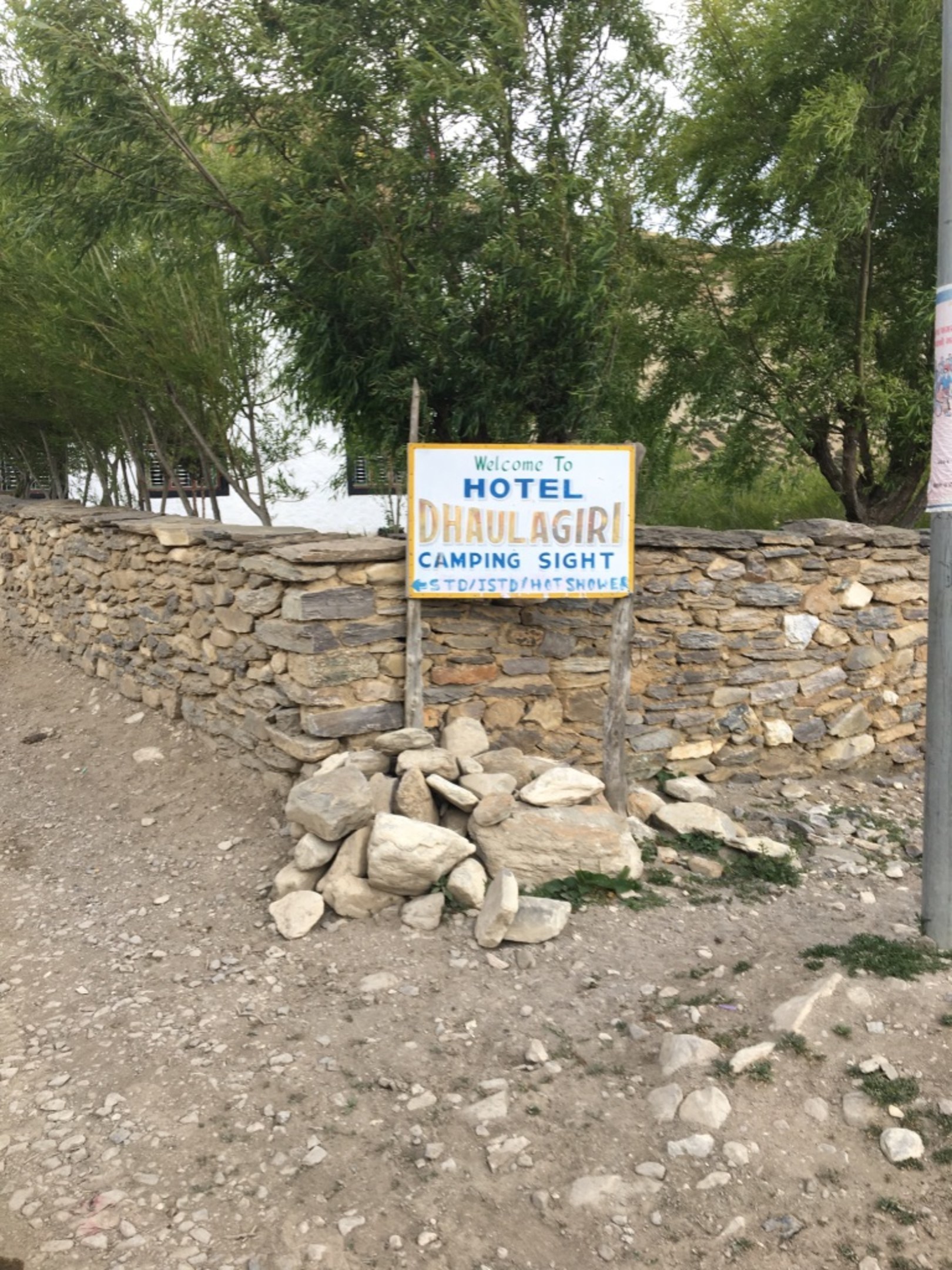
Finally!!! the entrance to the village of Syangmochen. Some villagers taking a stroll while we seek our night's shelter, Hotel Dhaulagiri. Incidently, Dhaulagiri is a mountain way to the south east of Jomsom, 8167m.
Today we spent over 10 hours on the trail, trek almost 19km, ascended from 2900m to around 4000m before descending to 3800m at Syangmochen. A very tiring day.